Middleport in Meigs County, Ohio — The American Midwest (Great Lakes)
The Ohio River / Historic Middleport
Side A: The Ohio River
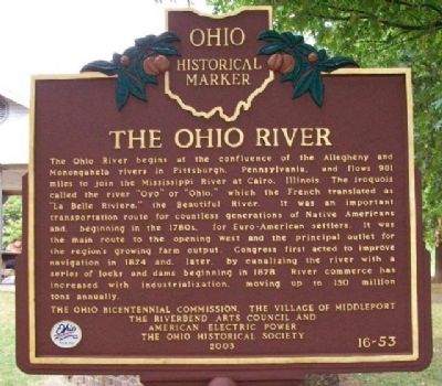
The Ohio River begins at the confluence of the Allegheny and Monongahela rivers in Pittsburgh, Pennsylvania, and flows 981 miles to join the Mississippi River at Cairo, Illinois. The Iroquois called the river "Oyo" or "Ohio," which the French translated as "La Belle Riviere," the Beautiful River. It was an important transportation route for countless generations of Native Americans and, beginning in the 1780s, for Euro-American settlers. It was the main route to the opening West and the principal outlet for the region's growing farm output. Congress first acted to improve navigation in 1824 and, later, by canalizing the river with a series of locks and dams beginning in 1878. River commerce has increased with industrialization, moving up to 150 million tons annually.
Side B: Historic Middleport
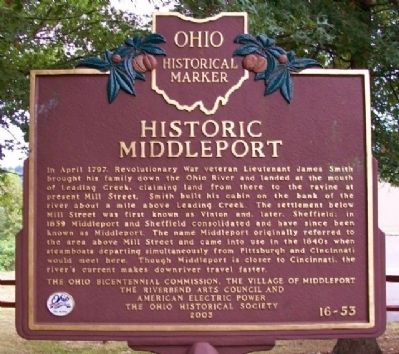
In April 1797, Revolutionary War veteran Lieutenant James Smith brought his family down the Ohio River and landed at the mouth of Leading Creek, claiming land from there to the ravine at present Mill Street. Smith built his cabin on the bank of the river about a mile above Leading Creek. The settlement below Mill Street was first known as Vinton and, later, Sheffield; in 1859 Middleport and Sheffield consolidated and have since been known as Middleport. The name Middleport originally referred to the area above Mill Street and came into use in the 1840s when steamboats departing simultaneously from Pittsburgh and Cincinnati would meet here. Though Middleport is closer to Cincinnati, the river's current makes downriver travel faster.
Erected 2003 by Ohio Bicentennial Commission, The Village of Middleport, The Riverbend Arts Council, American Electric Power, and The Ohio Historical Society. (Marker Number 16-53.)
Topics and series. This historical marker is listed in these topic lists: Agriculture • Industry & Commerce • Native Americans • Notable Places • Settlements & Settlers • War, US Revolutionary • Waterways & Vessels. In addition, it is included in the Ohio Historical Society / The Ohio History Connection series list. A significant historical month for this entry is April 1797.
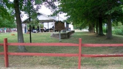
Location. 39° 0.103′ N, 82° 2.859′ W. Marker is in Middleport, Ohio, in Meigs County. Marker is at the intersection of Mill Street and 1st Avenue, on the right when traveling west on Mill Street. Marker is south of the shelter in Dave Diles Park, about 100 feet west of the Ohio River. Touch for map. Marker is in this post office area: Middleport OH 45760, United States of America. Touch for directions.
Other nearby markers. At least 8 other markers are within 2 miles of this marker, measured as the crow flies. Major John B. Downing (about 600 feet away, measured in a direct line); Rear Admiral William W. Outerbridge (about 700 feet away); Middleport Medal of Honor Recipients (approx. 0.2 miles away); General James V. Hartinger (approx. 0.2 miles away); Rear Admiral Arthur Clark (approx. ¼ mile away); William H. Powell (approx. 0.3 miles away in West Virginia); Virgil A. Lewis (approx. 1½ miles away in West Virginia); Morgan's Raid Route / Meigs County Courthouse (approx. 1.9 miles away). Touch for a list and map of all markers in Middleport.
Also see . . .
1. Ohio River. Ohio History Central website entry (Submitted on March 10, 2010, by William Fischer, Jr. of Scranton, Pennsylvania.)
2. Village of Middleport History. Village website entry (Submitted on March 10, 2010, by William Fischer, Jr. of Scranton, Pennsylvania.)
Credits. This page was last revised on February 18, 2022. It was originally submitted on March 10, 2010, by William Fischer, Jr. of Scranton, Pennsylvania. This page has been viewed 1,392 times since then and 27 times this year. Photos: 1, 2, 3, 4. submitted on March 10, 2010, by William Fischer, Jr. of Scranton, Pennsylvania.


