Near Sanger in Oliver County, North Dakota — The American Midwest (Upper Plains)
The Missouri: Origin and History
Photographed by Barry Swackhamer, July 22, 2025
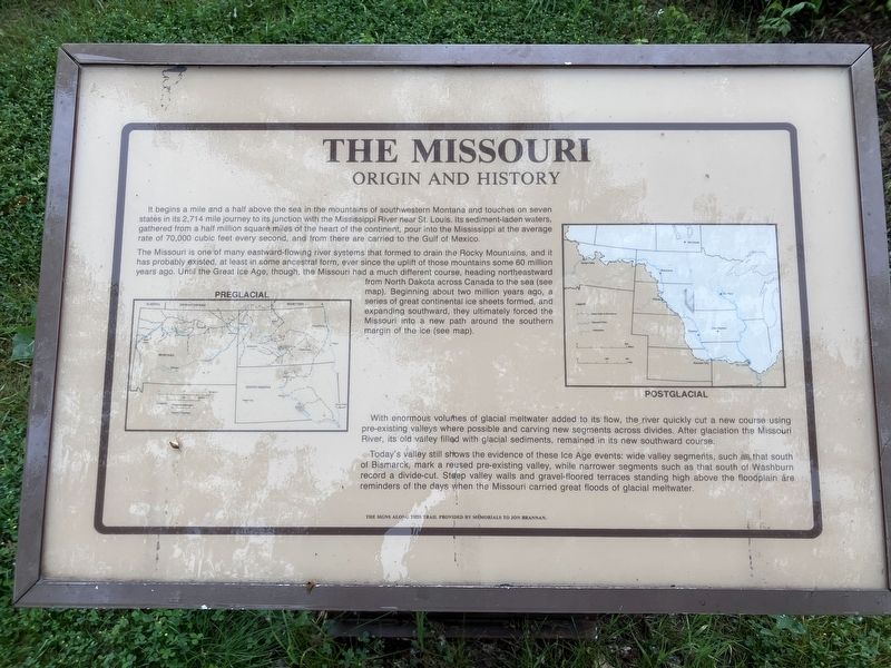
1. The Missouri: Origin and History Marker
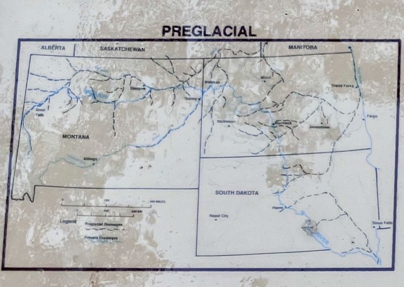
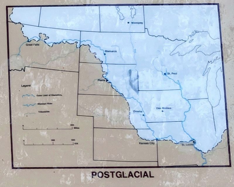
The Missouri is one of many eastward flowing river systems that formed to drain the Rocky Mountains, and it has probably existed, at least in some ancestral form, ever since the uplift of those mountains some 60 million years ago. United in the Great Ice Ace, though, the Missouri had a much different course, heading northeastward from North Dakota across Canada to the sea (see map). Beginning about two million years ago, a series of great continental ice sheets formed, and expanded southward, they ultimately forced the Missouri into a new path around the southern margin of the ice (see map),
With enormous volumes of glacial meltwater added to its flow, the river quickly cut a new course using
this page online
Today's valley still shows the evidence of these Ice Age events; wide valley segments, such as that south of Bismarck, mark a reused pre-existing valley, while narrower segments such as that south of Washburn record a divide-cut. Steep valley walls and gravel-floored terraces standing high above the floodplain are reminders of the days when the Missouri carried great floods of glacial meltwater.
Topics. This historical marker is listed in these topic lists: Natural Features • Waterways & Vessels.
Location. 47° 12.594′ N, 100° 59.884′ W. Marker is near Sanger, North Dakota, in Oliver County. It can be reached from 22nd Avenue SouthWest (aka River Road) near 16th Street SouthWest. The marker is located in Cross Ranch State Park where the campground fronts the Missouri River. Touch for map. Marker is in this post office area: Center ND 58530, United States of America. Touch for directions.

Regionally,
Photographed by Barry Swackhamer, July 22, 2025
2. The Missouri River pre-glacial map
Other nearby markers. At least 8 other markers are within 6 miles of this marker, measured as the crow flies: The Missouri : A Landscape Altered (approx. 0.4 miles away); The Missouri: An Early Highway (approx. ¾ mile away); The Story of Painted Woods (approx. 1.4 miles away); Painted Woods (approx. 1.4 miles away); Cross Ranch (approx. 1.8 miles away); "A Buitifull Countrey" (approx. 1.8 miles away); Soo Line Railroad & Depot (approx. 5½ miles away); Taylor Cabin (approx. 5½ miles away). Touch for a list and map of all markers in Sanger.
Photographed by Barry Swackhamer, July 22, 2025
3. The Missouri River, post-glacial map
Photographed by Barry Swackhamer, July 22, 2025
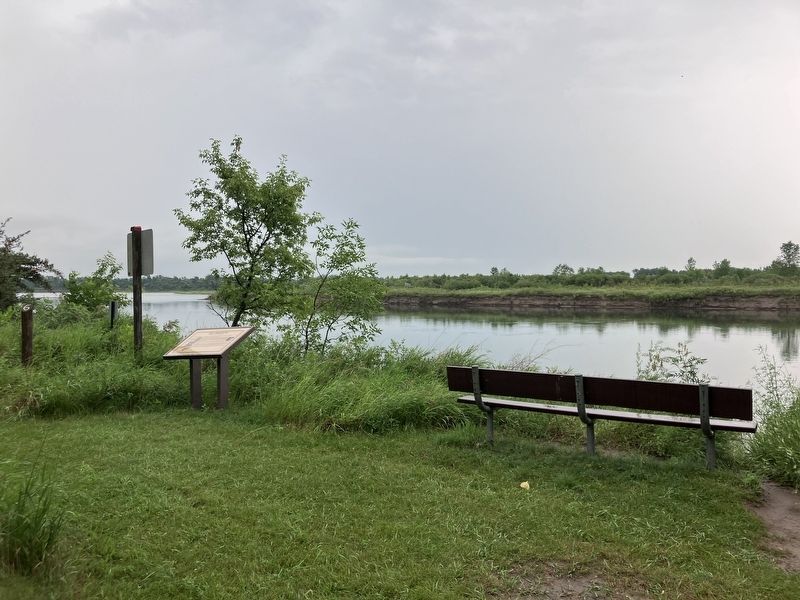
4. The Missouri: Origin and History Marker
Credits. This page was last revised on September 27, 2025. It was originally submitted on September 27, 2025, by Barry Swackhamer of Brentwood, California. This page has been viewed 48 times since then and 14 times this year. Photos: 1, 2, 3, 4. submitted on September 27, 2025, by Barry Swackhamer of Brentwood, California.
