Near Fruita in Wayne County, Utah — The American Mountains (Southwest)
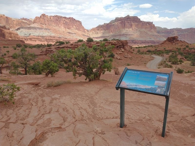
Clearing the Air

Photographed by Tom Bosse, June 11, 2025
1. Clearing the Air Marker
We share the air. We can help or harm its quality. The U.S. Clean Air Act was signed into law in 1963 with the goal of controlling air pollution at a national level. In 1977, Capitol Reef was designated a Class I airshed, recognizing its exceptional quality and receiving the highest protection.
Pollution has many sources including power plant emissions, vehicle exhaust, wood smoke from campfires or stoves, and refineries. We share the negative impacts, such as the loss of the scenic views we treasure, increased eye irritation, and damage to our lungs. The National Park Service has the responsibility to preserve, protect, and enhance air quality.
We share the responsibility to keep air clean. You can help everyday by: using sustainable energy sources such as solar and wind; reducing vehicle emissions by using fuel efficient vehicles and not idling; using less electricity; and choosing
this page online
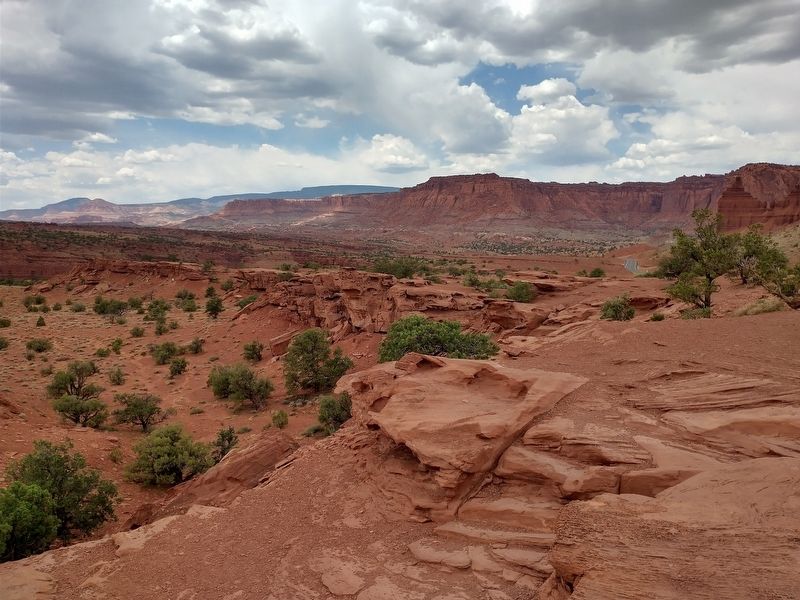
[Caption]: Air pollution knows no boundaries. Even the seemingly pristine areas of Capitol Reef's wilderness are affected by changes in air quality.
[Caption]: The slightest changes in pollutant levels are detected at Capitol Reef's air quality monitoring station.
Erected by U.S. Department of the Interior - Capitol Reef National Park.
Topics. This historical marker is listed in these topic lists: Environment • Parks & Recreational Areas. A significant historical year for this entry is 1963.
Location. 38° 18.469′ N, 111° 17.746′ W. Marker is near Fruita, Utah, in Wayne County. It can be reached from Utah Route 24, on the left when traveling west. Marker is located at Panorama Point in Capitol Reef National Park. Touch for map. Marker is in this post office area: Torrey UT 84775, United States of America. Touch for directions.

Regionally, this marker is in Canyon Country. It is also in the American Mountain West, on the Colorado Plateau, and at the Four Corners. Globally, it is in North America, the Western Hemisphere, the Western World, and the Anglosphere. Historically,

Photographed by Tom Bosse, June 11, 2025
2. Clearing the Air Marker
Other nearby markers. At least 8 other markers are within 4 miles of this marker, measured as the crow flies: Mott Orchard (approx. 2½ miles away); A Community's Cornerstone (approx. 2.9 miles away); The Giving Groves (approx. 3 miles away); It's Alive! (approx. 3 miles away); Silent Sentinels (approx. 3.1 miles away); Living Off the Land (approx. 3.1 miles away); Pendleton-Jorgenson-Gifford Barn Story (approx. 3.2 miles away); Stories in Stone (approx. 3.2 miles away). Touch for a list and map of all markers in Fruita.
Photographed by Tom Bosse, June 11, 2025
3. View from Panorama Point
Photographed by Tom Bosse, June 11, 2025
4. View from Panorama Point
Credits. This page was last revised on September 27, 2025. It was originally submitted on September 27, 2025, by Tom Bosse of Jefferson City, Tennessee. This page has been viewed 44 times since then and 14 times this year. Photos: 1, 2, 3, 4. submitted on September 27, 2025, by Tom Bosse of Jefferson City, Tennessee. • Andrew Ruppenstein was the editor who published this page.
