Harbor Beach in Huron County, Michigan — The American Midwest (Great Lakes)
Life Saving Service and Coast Guard in Harbor Beach
Photographed by J.T. Lambrou, December 20, 2022
1. Life Saving Service and Coast Guard in Harbor Beach Marker
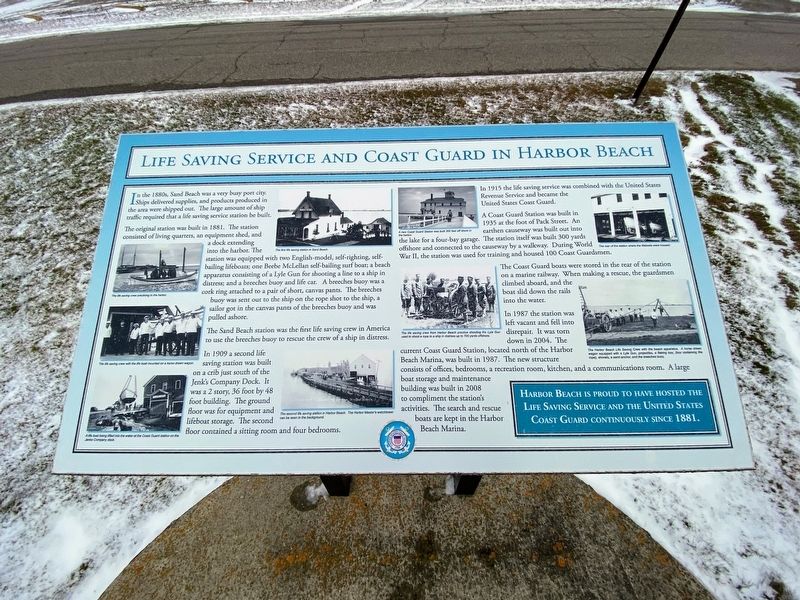
In the 1880s, Sand Beach was a very busy port city. Ships delivered supplies, and products produced in the area were shipped out. The large amount of ship traffic required that a life saving service station be built.
The original station was built in 1881. The station consisted of living quarters, an equipment shed, and a dock extending into the harbor. The station was equipped with two English-model, self-righting, self-bailing lifeboats; one Beebe McLellan self-bailing surf boat; a beach apparatus consisting of a Lyle Gun for shooting a line to a ship in distress; and a breeches buoy and life car. A breeches buoy was a cork ring attached to a pair of short, canvas pants. The breeches buoy was sent out to the ship on the rope shot to the ship, a sailor got in the canvas pants of the breeches buoy and was pulled ashore.
The Sand Beach station was the first life saving crew in America to use the breeches buoy to rescue the crew of a ship in distress.
In 1909 a second life saving station was built on a crib just south of the Jenk's Company Dock. It was a 2 story, 36 foot by 48 foot building. The ground floor
this page online
In 1915 the life saving service was combined with the United States Revenue Service and became the United States Coast Guard.
A Coast Guard Station was built in 1935 at the foot of Pack Street. An earthen causeway was built out into the lake for a four-bay garage. The station itself was built 300 yards offshore and connected to the causeway by a walkway. During World War Il, the station was used for training and housed 100 Coast Guardsmen.
The Coast Guard boats were stored in the rear of the station on a marine railway. When making a rescue, the guardsmen climbed aboard, and the boat slid down the rails into the water.
In 1987 the station was left vacant and fell into disrepair. It was torn down in 2004. The current Coast Guard Station, located north of the Harbor Beach Marina, was built in 1987. The new structure consists of offices, bedrooms, a recreation room, kitchen, and a communications room. A large boat storage and maintenance building was built in 2008 to compliment the station's activities. The search and rescue
Photographed by J.T. Lambrou, December 20, 2022
2. Life Saving Service and Coast Guard in Harbor Beach Marker
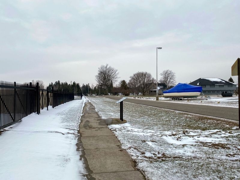
View looking west on Ritchie Road.
Erected 2020.
Topics. This historical marker is listed in these topic lists: Law Enforcement • Waterways & Vessels. A significant historical year for this entry is 1881.
Location. 43° 51.323′ N, 82° 39.12′ W. Marker is in Harbor Beach, Michigan, in Huron County. It is on Ritchie Drive 0.2 miles east of North Lakeshore Road, on the right when traveling east. Touch for map. Marker is at or near this postal address: 180 Ritchie Dr, Harbor Beach MI 48441, United States of America. Touch for directions.

Regionally, this marker is on Michigan’s Thumb and in one of the Lake Huron Shore counties. It is also in the American Midwest. Globally, it is in North America, on the Great Lakes, in the Western Hemisphere, in the Western World, and in the Anglosphere. Historically, it finds itself in what was once the Northwest Territory.
Other nearby markers. At least 8 other markers are within walking distance of this marker: The Grice House Museum Complex (about 400
Photographed by J.T. Lambrou, December 20, 2022
3. Coast Guard
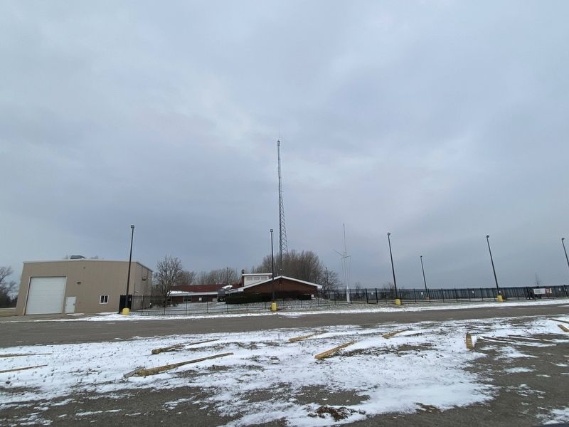
View of the Coast Guard station from the marker.
Photographed by J.T. Lambrou, December 20, 2022
4. Coast Guard
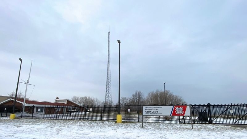
United States Coast Guard Station (Small) Harbor Beach
Credits. This page was last revised on October 2, 2025. It was originally submitted on January 6, 2023, by J.T. Lambrou of New Boston, Michigan. This page has been viewed 503 times since then and 61 times this year. Last updated on September 30, 2025, by Carl Gordon Moore Jr. of North East, Maryland. Photos: 1, 2, 3, 4. submitted on January 6, 2023, by J.T. Lambrou of New Boston, Michigan. • Devry Becker Jones was the editor who published this page.
