
Highland Park in Saint Paul in Ramsey County, Minnesota — The American Midwest (Upper Plains)
Floodplain Forests
Photographed by McGhiever, August 23, 2025
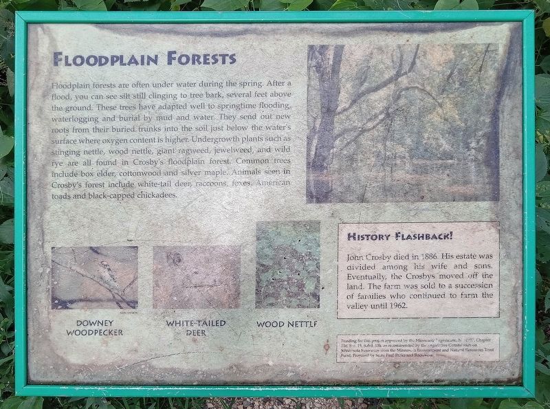
1. Floodplain Forests Marker
Floodplain forests are often under water during the spring. After a flood, you can see silt still clinging to tree bark, several feet above the ground. These trees have adapted well to springtime flooding, waterlogging and burial by mud and water. They send out new roots from their buried trunks into the soil just below the water's surface where oxygen content is higher. Undergrowth plants such as stinging nettle, wood nettle, giant ragweed, jewelweed, and wild rye are all found in Crosby's floodplain forest. Common trees include box elder, cottonwood and silver maple. Animals seen in Crosby's forest include white-tail deer, raccoons, foxes, American toads and black-capped chickadees.
Downey woodpecker • White-tailed deer • Wood nettle
History Flashback!
John Crosby died in 1886. His estate was divided among his wife and sons. Eventually, the Crosbys moved off the land. The farm was sold to a succession of families who continued to farm the valley until 1962.
Funding for this project approved by the Minnesota Legislature, Ml. 1997, Chapter 216, Sec. 15, Subd. 13k, as recommended by the Legislative Commission on Minnesota Resources from the Minnesota Environmental and Natural Resources Trust Fund. Prepared by Saint Paul Parks and Recreation.
Erected by Saint
this page online
Topics. This historical marker is listed in these topic lists: Agriculture • Environment. A significant historical year for this entry is 1886.
Location. 44° 53.828′ N, 93° 9.914′ W. Marker is in Saint Paul, Minnesota, in Ramsey County. It is in Highland Park. It can be reached from Crosby Farm Road. The marker is in Crosby Farm Regional Park, just south of the picnic shelter. Touch for map. Marker is in this post office area: Saint Paul MN 55116, United States of America. Touch for directions.

Regionally, this marker is in the Twin Cities Metropolitan Area. It is also in the American Midwest, in the Corn Belt, and in the Great River Road Region. Globally, it is in North America, the Western Hemisphere, the Western World, and the Anglosphere. Historically, it finds itself in what was once Rupert’s Land, the territory of the Mississippian Culture, and the Louisiana Purchase.
Other nearby markers. At least 8 other markers are within walking distance of this marker: Crosby Farm (about 400 feet away, measured in a direct line); Prairies (about 700 feet away); Wetlands (approx. ¼ mile away);
Photographed by McGhiever, August 23, 2025
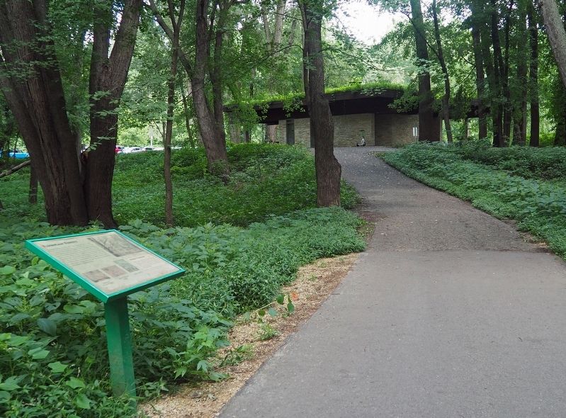
2. Floodplain Forests Marker just south of Crosby Farm Regional Park's picnic shelter
Credits. This page was last revised on October 20, 2025. It was originally submitted on October 6, 2025, by McGhiever of Minneapolis, Minnesota. This page has been viewed 53 times since then and 17 times this year. Photos: 1, 2. submitted on October 6, 2025, by McGhiever of Minneapolis, Minnesota.
