Near Chinle in Apache County, Arizona — The American Mountains (Southwest)
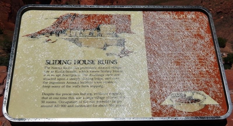
Sliding House Ruins
Photographed by Cosmos Mariner, May 23, 2016
1. Sliding House Ruins Marker
Topics. This historical marker is listed in these topic lists: Anthropology & Archaeology • Indigenous Peoples and Communities.
Location. 36° 6.981′ N, 109° 26.218′ W. Marker is near Chinle, Arizona, in Apache County. It can be reached from Sliding House Overlook Road 1.6 miles north of South Rim Highway (Indian Route 7). Marker is located within Canyon de Chelly National Monument, at the north end of the Sliding House Overlook trail, about 1/10 mile north of the trailhead and parking lot. Touch for map. Marker is in this post office area: Chinle AZ 86503, United States of America. Touch for directions.

Regionally,
this page online
Other nearby markers. At least 2 other markers are within 10 miles of this marker, measured as the crow flies: House Under Rock (approx. 8.8 miles away); The Place Where Two Fell Off (approx. 9.4 miles away).
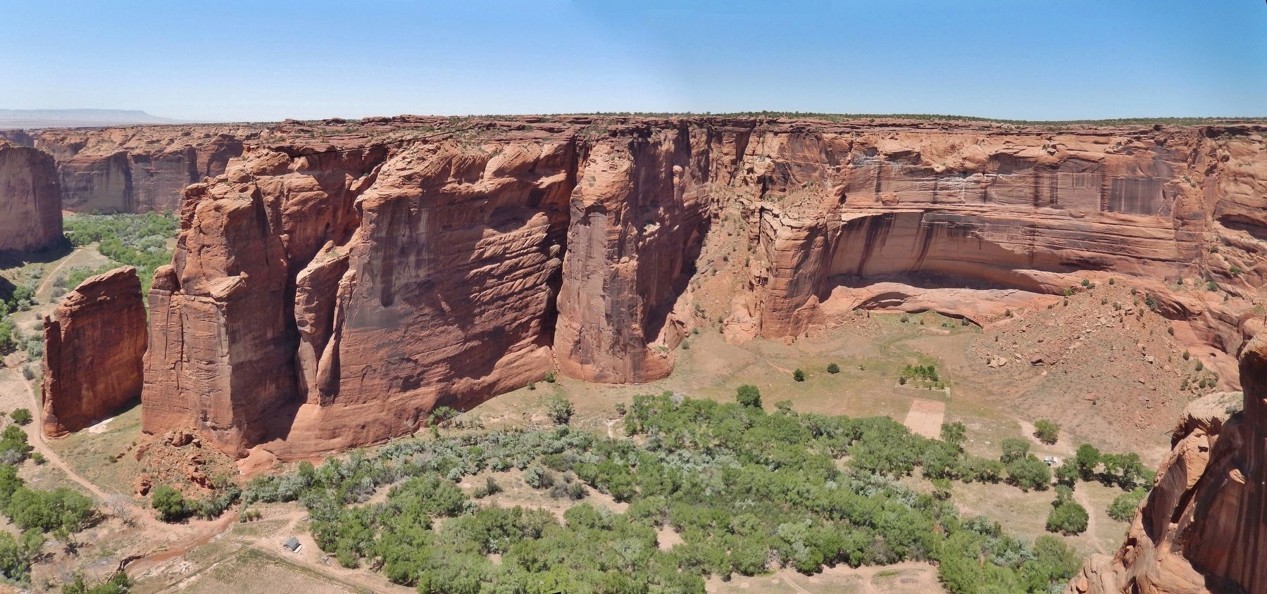
Also see . . . Sliding House Overlook. The ruin gets its name from the precarious slope upon which it was built that eventually resulted in most of it sliding off the side of the cliff. If you zoom in on the photo you can see pictographs that were painted on the cliff that were probably made from the rooftops of rooms that are no longer there. (Submitted on April 9, 2021, by Cosmos Mariner of Cape Canaveral, Florida.)
Photographed by Cosmos Mariner, May 23, 2016
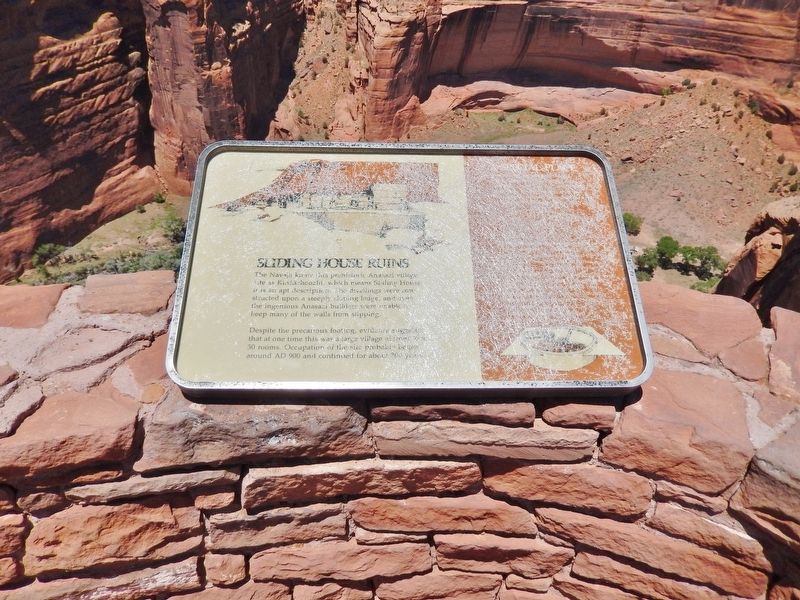
2. Sliding House Ruins Marker
Photographed by Cosmos Mariner, May 23, 2016
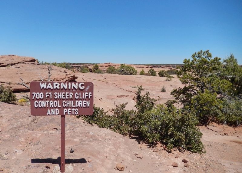
3. 700 Foot Sheer Cliff!
Photographed by Cosmos Mariner, May 23, 2016
4. Sliding House Ruins Overlook
Credits. This page was last revised on October 7, 2025. It was originally submitted on April 9, 2021, by Cosmos Mariner of Cape Canaveral, Florida. This page has been viewed 1,553 times since then and 157 times this year. Last updated on October 6, 2025, by J.R. Frederick of Casey, Illinois. Photos: 1, 2, 3, 4. submitted on April 9, 2021, by Cosmos Mariner of Cape Canaveral, Florida. • Devry Becker Jones was the editor who published this page.
