Near Killdeer in Dunn County, North Dakota — The American Midwest (Upper Plains)
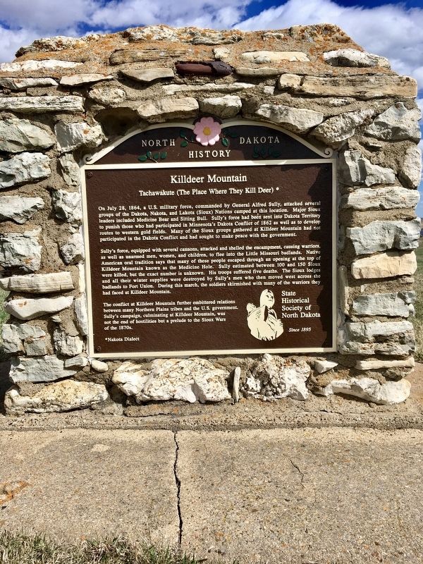
Killdeer Mountain
Tachawakute (The Place Where They Kill Deer)*
Photographed by Connor Olson, April 19, 2019
1. Killdeer Mountain Marker
On July 28, 1864, a U.S. military force, commanded by General Alfred Sully, attacked several groups of the Dakota, Nakota, and Lakota (Sioux) Nations camped at this location. Major Sioux leaders included Medicine Bear and Sitting Bull. Sully's force had been sent into Dakota Territory to punish those who had participated in Minnesota's Dakota Conflict of 1862 as well as to develop routes to western gold fields. Many of the Sioux groups gathered at Killdeer Mountain had not participated in the Dakota Conflict and had sought to make peace with the government.
Sully's force, equipped with several cannons, attacked and shelled the encampment, causing warriors, was well as unarmed men, women, and children, to flee into the Little Missouri badlands. Native American oral tradition says that many of these people escaped through an opening at the top of Killdeer Mountain known as the Medicine Hole. Sully estimated between between 100 and 150 Sioux were killed, but the exact number is unknown. His troops suffered five deaths. The Sioux lodges and all their winter supplies were destroyed by Sully's men who then moved west across
this page online
The conflict at Killdeer Mountain further embittered relations between many Northern Plains tribes and the U.S. government. Sully's campaign, culminating at Killdeer Mountain, was not the end of hostilities but a prelude to the Sioux Wars of the 1870s.
*Nakota Dialect
Erected by State Historical Society of North Dakota.
Topics. This historical marker is listed in these topic lists: War, US Civil • Wars, US Indian. A significant historical year for this entry is 1864.
Location. 47° 25.512′ N, 102° 55.125′ W. Marker is near Killdeer, North Dakota, in Dunn County. It is on Killdeer Mount Battlefield Road, on the right when traveling north. Located in Battle of Killdeer Mountain Historical Monument Park. Touch for map. Marker is in this post office area: Killdeer ND 58640, United States of America. Touch for directions.

Regionally, this marker is in the Bakken Oil Patch and on the Missouri Plateau. It is also in the American Lewis & Clark Corridor, on the prairies, and on the Northern Plains.
Photographed by Connor Olson, April 19, 2019
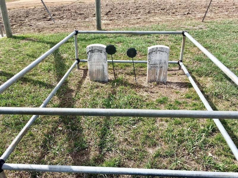
2. Soldier graves at the site.
Other nearby markers. At least 2 other markers are within 14 miles of this marker, measured as the crow flies: Mountain of the Medicine Hole (approx. 6.7 miles away); Lost Bridge of the Badlands (approx. 13.4 miles away).
Also see . . .
1. ND History website on the Killdeer Mountain Battlefield State Historic Site. (Submitted on July 28, 2020.)
2. Killdeer Mountain - National Park Service - Civil War. (Submitted on October 8, 2025, by Mike McKeown of Baltimore, Maryland.)
Photographed by Connor Olson, April 19, 2019
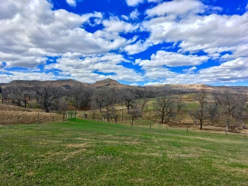
3. Killdeer Mountains in background.
Credits. This page was last revised on October 12, 2025. It was originally submitted on July 16, 2020, by Connor Olson of Menomonee Falls, Wisconsin. This page has been viewed 1,045 times since then and 92 times this year. Last updated on October 8, 2025, by Mike McKeown of Baltimore, Maryland. Photos: 1. submitted on July 16, 2020, by Connor Olson of Menomonee Falls, Wisconsin. 2, 3. submitted on July 31, 2020, by Connor Olson of Menomonee Falls, Wisconsin. • Devry Becker Jones was the editor who published this page.
Editor’s want-list for this marker. A wide shot of the marker and its surroundings • Can you help?
