Drexel in Burke County, North Carolina — The American South (South Atlantic)
The Story of the Park...
Photographed by Mark Parker, October 9, 2025
1. The Story of the Park Marker
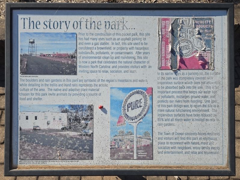
The boulders and rain gardens in this park are symbolic of the region's mountains and waters while detailing in the trellis and hand rails represents the artistic culture of the area. The native and adaptive plant material chosen for this park invite animals by providing a source of food and shelter.
In its earlier days as a parking lot, the surface of the park was completely covered with impervious surface which does not allows rain to be absorbed back into the soil. This is an important process that keeps our water free of pollutants, recharges ground water, and protects our rivers from flooding. One goal of this park design was to return the site
this page online
The Town of Drexel sincerely hopes residents and visitors will find this park an enjoyable place to reconnect with nature, meet and socialize with neighbors, enjoy family events and entertainment, and relax and rejuvenate!
(captions)
The site before park construction
Before construction at the current park and gardens, this location was the site of an old gas station that was abandoned and left for use as an open parking lot.
Topics. This historical marker is listed in these topic lists: Charity & Public Work • Environment • Parks & Recreational Areas.
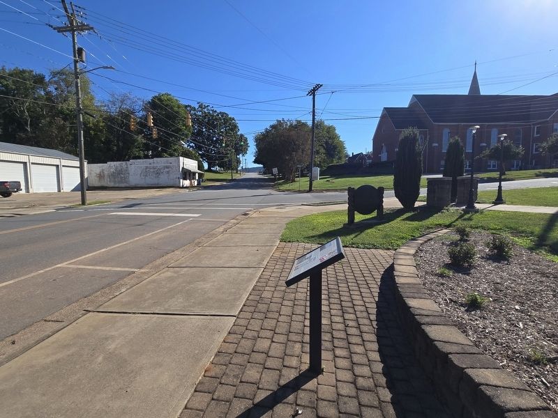
Location. 35° 45.424′ N, 81° 36.292′ W. Marker is in Drexel, North Carolina, in Burke County. It is at the intersection of South Main Street and Church Street, on the right when traveling south on South Main Street. Touch for map. Marker is at or near this postal address: 118 South Main Street, Drexel NC 28619, United States of America. Touch for directions.

Regionally,
Photographed by Mark Parker, October 9, 2025
2. The Story of the Park Marker at the corner of South Main and Church streets
Other nearby markers. At least 8 other markers are within 3 miles of this marker, measured as the crow flies: Drexel Furniture Company (about 600 feet away, measured in a direct line); World Wars Memorial (approx. 2.1 miles away); Drag Harrow (approx. 2.2 miles away); Church at Ciabas (approx. 2.2 miles away); Turning Plow (approx. 2.2 miles away); Cultivator (approx. 2.2 miles away); Boccia (approx. 2.2 miles away); Corn Planter (approx. 2.2 miles away).
Photographed by Mark Parker, October 9, 2025
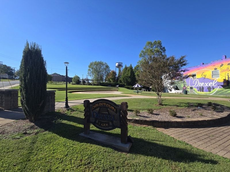
3. Drexel Downtown Park
Photographed by Mark Parker, October 9, 2025
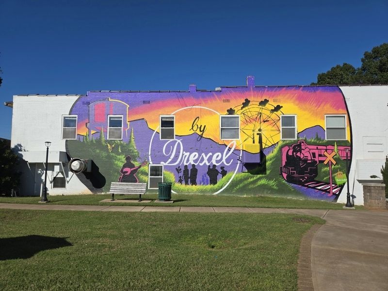
4. Drexel Mural
This specific building is shown at the bottom left corner of the marker
Credits. This page was last revised on October 10, 2025. It was originally submitted on October 9, 2025, by Mark Parker of Hickory, North Carolina. This page has been viewed 63 times since then and 19 times this year. Photos: 1, 2, 3, 4. submitted on October 9, 2025, by Mark Parker of Hickory, North Carolina. • Bernard Fisher was the editor who published this page.
