
Boulder in Garfield County, Utah — The American Mountains (Southwest)
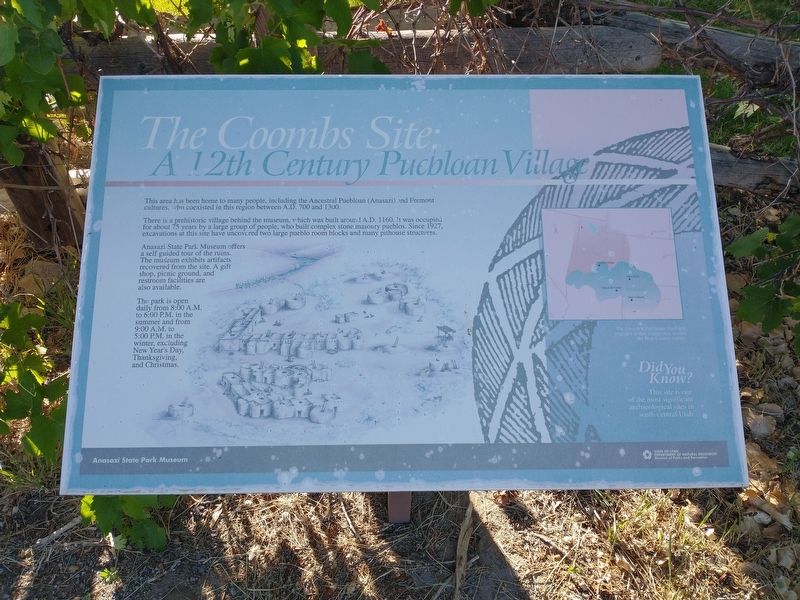
The Coombs Site: A 12th Century Puebloan Village
Photographed by Tom Bosse, June 12, 2025
1. The Coombs Site: A 12th Century Puebloan Village Marker
This area has been home to many people, including the Ancestral Puebloan (Anasazi) and Fremont cultures, who coexisted in the region between A.D. 700 and 1300.
There is a prehistoric village behind the museum, which was built around A.D. 1160. It was occupied for about 75 years by a large group of people, who built complex stone masonry pueblos. Since 1927, excavations at this site have uncovered two large pueblo rooms blocks and many pithouse structures.
Anasazi State Park Museum offers a self guided tour of the ruins. The museum exhibits artifacts recovered from the site. A gift shop, picnic ground, and restroom facilities are also available.
The park is open daily from 8:00 A.M to 6:00 P.M. in the summer and from 9:00 A.M. to 5:00 P.M. in the winter, excluding New Year's Day, Thanksgiving, and Christmas.
[Insert]: The Ancestral Puebloans lived and migrated within a large area around the Four Corners region.
[Insert]: Did you know? This site is one of the most significant archaeological sites in south-central Utah.
Erected by Anasazi State Park Museum.
Topics. This historical marker is listed
this page online
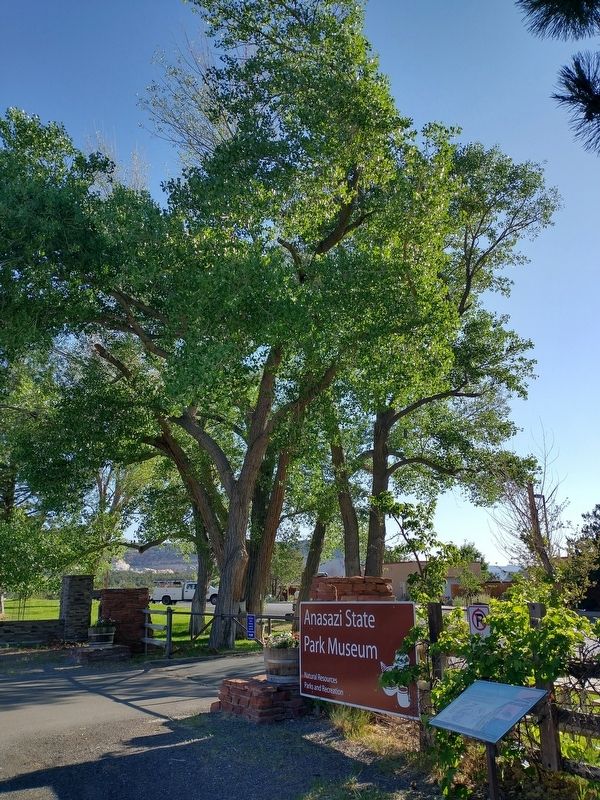
Location. 37° 54.643′ N, 111° 25.448′ W. Marker is in Boulder, Utah, in Garfield County. It is on Utah Route 12, on the right when traveling north. Marker is located near the entrance to the Anasazi State Park Museum. Touch for map. Marker is in this post office area: Boulder UT 84716, United States of America. Touch for directions.

Regionally, this marker is in Canyon Country and specifically in Color Country. It is also in the American Mountain West, on the Colorado Plateau, and at the Four Corners. Globally, it is in North America, the Western Hemisphere, the Western World, and the Anglosphere. Historically, it finds itself in what was once New Spain and also Mexico’s Alta California.

Other nearby markers. At least 8 other markers are within 14 miles of this marker, measured as the crow flies: Changing Times (approx. 1.9 miles away); Boulder Utah (approx. 1.9 miles away); Paving Boulder Mountain Road (approx. 7.8 miles away); Across A Vast Horizon (approx. 7.8 miles away); View from Head of the Rocks
Photographed by Tom Bosse, June 12, 2025
2. The Coombs Site: A 12th Century Puebloan Village Marker
Credits. This page was last revised on October 9, 2025. It was originally submitted on October 9, 2025, by Tom Bosse of Jefferson City, Tennessee. This page has been viewed 61 times since then and 15 times this year. Photos: 1, 2. submitted on October 9, 2025, by Tom Bosse of Jefferson City, Tennessee. • Andrew Ruppenstein was the editor who published this page.
