
Saxe in Charlotte County, Virginia — The American South (Mid-Atlantic)
Mulberry Hill
"She Was Closely Plied by Questions"
| — | Wilson-Kautz Raid | — |

Photographed by Mike McKeown, October 12, 2025
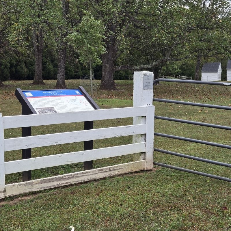
1. Mulberry Hill Marker
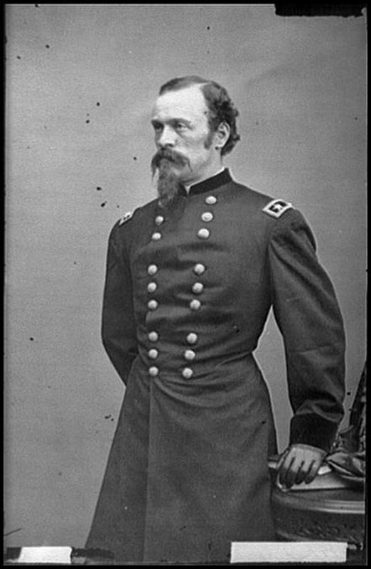
Wilson was the commander of a 5,000-man cavalry force sent to destroy the railroads supplying Confederate Gen. Robert E. Lee's army near Petersburg. One of their targets for destruction was the critical Staunton River Bridge, a 600-foot-long span that carried the railroad over the Roanoke River to your right.
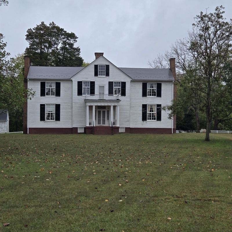
John McPhail had gone to war, so Nancy McPhail met the invaders alone. "She was closely plied by questions," her son recalled, "And her answers severely tested." She reported that the bridge was defended by 10,000 Confederates—but there were actually fewer than 1,000. To mislead the Federals, the Confederates ran a train back and forth, out of sight, with the rattling train card, whistles, and cheers giving the impression that reinforcements were pouring in.
When the battle began, cannon on the ground behind you roared out, the blasts
this page online
Four times Union troops attacked towards the bridge; four times they were turned back. Just before sunset, Confederate cavalry attacked the Union rear. Wilson decided to withdraw, and the Federals slipped away before dawn, burning Roanoke Station but sparing Mulberry Hill—likely due to its occupation by the stouthearted Nancy McPhail.
Erected by Virginia Civil War Trails.
Topics and series. This historical marker is listed in these topic lists: Bridges & Viaducts • Settlements & Settlers • War, US Civil • Women. In addition, it is included in the Virginia Civil War Trails series list. A significant historical date for this entry is June 25, 1864.
Location. 36° 54.52′ N, 78° 41.982′ W. Marker is in Saxe, Virginia, in Charlotte County. It is on Mulberry Hill Road 1.1 miles north of Roanoke Station Road, on the right when traveling north. Marker is next to small parking area. Touch for map. Marker is at or near this postal address: 2667 Mulberry Hill Road Saxe VA 23967, Saxe
Photographed by Mike McKeown, October 12, 2025
2. Mulberry Hill Marker

Regionally, this marker is in Virginia’s Piedmont, in Southside Virginia, and specifically in Central Virginia. It is also in the American South and specifically in the Upper South. Globally, it is in North America, the Western Hemisphere, the Western World, and the Anglosphere. Historically, it finds itself in what was once the territory of the Mississippian Culture, one of the original Thirteen Colonies, one of the Confederate States of America, and the Antebellum South.
Other nearby markers. At least 8 other markers are within 7 miles of this marker, measured as the crow flies: Wilson-Kautz Raid (approx. one mile away); Roanoke Station (approx. 1.1 miles away); Wilson’s orders were to destroy the Richmond and Danville Railroad to the greatest extent possible (approx. 1.1 miles away); The Confederate Trail (approx. 1.7 miles away); Guarding A Lifeline (approx. 1.8 miles away); The Battle of Staunton River Bridge (approx. 1.8 miles away); Carrington's Mill (approx. 2.4 miles away); Henrietta Lacks (approx. 6.6 miles away).
Also see . . .
1. Paul Carrington’s Mulberry Hill ( Historic Staunton River Foundation).
Photographed by Mike McKeown, October 12, 2025
3. Mulberry Hill
2. Wilson-Kautz Raid (American Battlefield Trust). (Submitted on October 12, 2025, by Mike McKeown of Baltimore, Maryland.)
Library of Congress
4. Union General James Wilson
Credits. This page was last revised on October 15, 2025. It was originally submitted on October 12, 2025, by Mike McKeown of Baltimore, Maryland. This page has been viewed 88 times since then and 53 times this year. Photos: 1, 2, 3, 4. submitted on October 12, 2025, by Mike McKeown of Baltimore, Maryland. • Bernard Fisher was the editor who published this page.
