Rockville Centre in Nassau County, New York — The American Northeast (Mid-Atlantic)
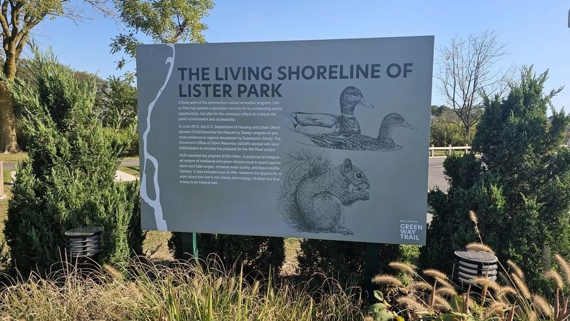
The Living Shoreline of Lister Park
| — | Mill River Green Way Trail | — |
Photographed by Ian Lefkowitz, October 4, 2025
1. The Living Shoreline of Lister Park Marker
A focal point of the community’s robust recreation program, Lister Park has gained a reputation not only for its outstanding sports opportunities, but also for the conscious efforts to improve the park’s environment and accessibility.
In June 2013, the U.S. Department of Housing and Urban Development (HUD) launched the Rebuild by Design program to promote resilience in regions devastated by Superstorm Sandy. The Governor’s Office of Storm Recovery (GOSR) worked with local stakeholders to develop the proposal for the Mill River project.
HUD awarded the program $125 million. It produced an integrated system of traditional and green infrastructure to guard against storm and tidal surges, enhance water quality, and boost wildlife habitats. It also included ways to offer residents the opportunity to learn about the river’s rich history and ecology, of which the Greenway is an integral part.
Topics. This historical marker is listed in these topic lists: Environment • Parks & Recreational Areas. A significant historical year for this entry is 2013.
Location. 40° 39.094′ N, 73° 39.34′ W. Marker is in Rockville Centre, New York,
this page online

Regionally, this marker is in the New York City Metropolitan Area and on Long Island. It is also in the American Northeast, in the Mid-Atlantic, and on the Eastern Seaboard. Globally, it is in the North Atlantic Region, North America, the Western Hemisphere, the Western World, and the Anglosphere. Historically, it finds itself in what was once New Netherland and also one of the original Thirteen Colonies.
Other nearby markers. At least 8 other markers are within walking distance of this marker: Native American Greenway (here, next to this marker); A Longtime Local Delicacy (about 300 feet away, measured in a direct line); a different marker also named The Living Shoreline of Lister Park (about 400 feet away); A Life in History (approx. 0.2 miles away); Mill River History (approx. ¼
Photographed by Ian Lefkowitz, October 4, 2025
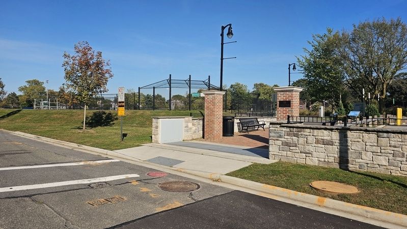
2. The Living Shoreline of Lister Park Marker
This marker is located near the entrance to Lister Park.
Photographed by Ian Lefkowitz, October 4, 2025
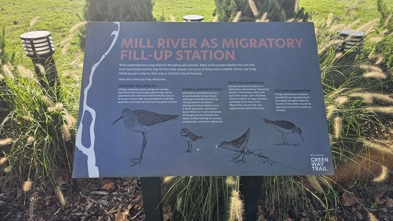
3. Mill River as Migratory Fill-Up Station
A nearby environmental marker identifies spring and summer migratory birds, including the greater yellowlegs, semipalmated plover, spotted sandpiper, and solitary sandpiper.
Credits. This page was last revised on October 16, 2025. It was originally submitted on October 13, 2025, by Ian Lefkowitz of New York, New York. This page has been viewed 64 times since then and 28 times this year. Photos: 1, 2, 3. submitted on October 13, 2025, by Ian Lefkowitz of New York, New York. • Michael Herrick was the editor who published this page.
