Hillsborough in Orange County, North Carolina — The American South (South Atlantic)
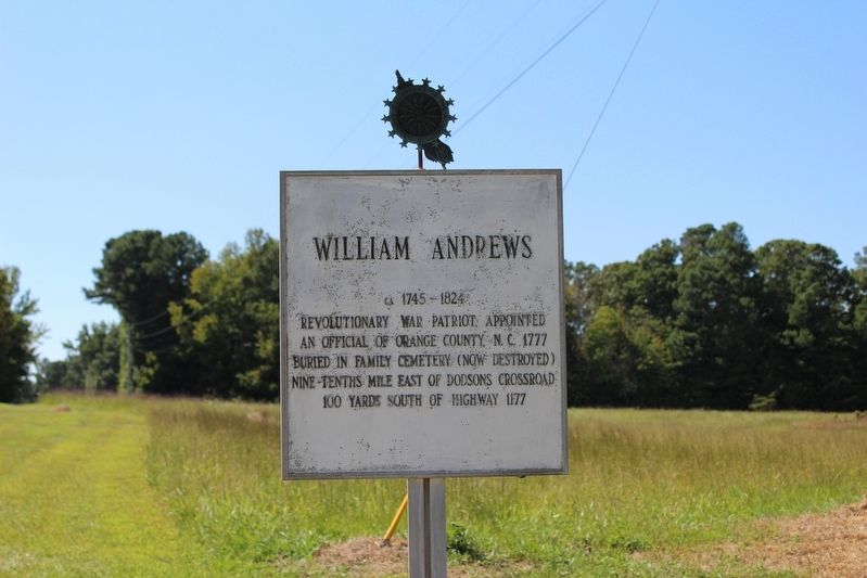
William Andrews
Ca. 1745-1824
Photographed by Evan Dwyer, September 13, 2025
1. William Andrews Marker
Revolutionary War Patriot, appointed an official of Orange County, N.C. 1777.
Buried in Family Cemetery (now destroyed) nine-tenths mile east of Dodsons Crossroad
Erected by Daughters of the American Revolution.
Topics and series. This historical marker is listed in these topic lists: Cemeteries & Burial Sites • Colonial Era • Patriots & Patriotism • War, US Revolutionary. In addition, it is included in the Daughters of the American Revolution (DAR) series list. A significant historical year for this entry is 1777.
Location. 35° 59.386′ N, 79° 9.688′ W. Marker is in Hillsborough, North Carolina, in Orange County. It is at the intersection of Dodsons Crossroads (North Carolina Route 1102) and Carlisle Road, on the right when traveling south on Dodsons Crossroads. Touch for map. Marker is in this post office area: Hillsborough NC 27278, United States of America. Touch for directions.

Regionally, this marker is in North Carolina’s Piedmont and in the Research Triangle. It is also in the American South and specifically in the Upper South. Globally, it is in
this page online
Other nearby markers. At least 8 other markers are within 7 miles of this marker, measured as the crow flies: Thomas Lloyd (approx. 4.2 miles away); Carl T. Durham (approx. 4.6 miles away); Harriet M. Berry (approx. 5.6 miles away); Bingham School (approx. 5.9 miles away); Commandant's House (approx. 6.1 miles away); Gold Park (approx. 6.3 miles away); Thomas H. Benton (approx. 6.4 miles away); The Last Encampment (approx. 6.4 miles away). Touch for a list and map of all markers in Hillsborough.
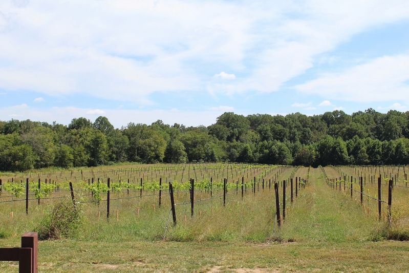
Regarding William Andrews. William Andrews is considered a patriot for his participation in supporting the Revolution commercially and in local government. He was not part of the armed forces. His family's cemetery was destroyed in the 1970s when the field they were buried in was converted to a vineyard. The cemetery's rough location was 35°58'31.0"N, 79°08'53.0"W.
The
Photographed by Evan Dwyer, September 13, 2025
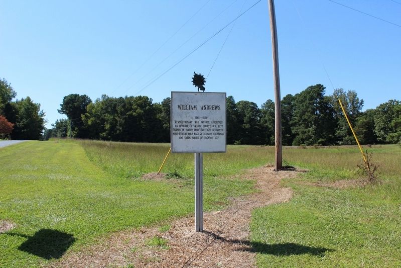
2. William Andrews Marker
Also see . . . Andrews, William Family Cemetery (Cemetery Census). (Submitted on October 15, 2025, by Evan Dwyer of Richmond, Virginia.)
Photographed by Evan Dwyer, September 13, 2025
3. William Andrews Cemetery Site
When surveyed in 1973, the cemetery was noted as being on a slight rise in a field. This rise is the approximate location at 35°58'31.0"N, 79°08'53.0"W, seen from the road.
Credits. This page was last revised on October 22, 2025. It was originally submitted on October 15, 2025, by Evan Dwyer of Richmond, Virginia. This page has been viewed 153 times since then and 89 times this year. Photos: 1, 2, 3. submitted on October 15, 2025, by Evan Dwyer of Richmond, Virginia. • Andrew Ruppenstein was the editor who published this page.
