Fort Leavenworth in Leavenworth County, Kansas — The American Midwest (Upper Plains)
Woody Agriculture Planting (1997)
Photographed by William Fischer, Jr., October 13, 2025
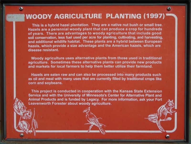
1. Woody Agriculture Planting (1997) Marker
This is a hybrid hazel plantation. They are a native nut bush or small tree. Hazels are a perennial woody plant that can produce a crop for hundreds of years. There are advantages to woody agriculture that include good soil conservation, less fuel used per acre for planting, cultivating, and harvesting, and additional wildlife habitat. These plants are a hybrid between European hazels, which provide a size advantage and the American hazels, which are disease resistant.
Woody agriculture uses alternative plants from those used in traditional agriculture. Sometimes these alternative plants can provide new products and markets for local farmers to help them better utilize their farmland. Hazels are eaten raw and can also be processed into many products such as oil and meal with many uses that are currently filled by traditional crops like corn and soybeans.
This project is conducted in cooperation with the Kansas State Extension Service and with the University of Minnesota's Center for Alternative Plant and Animal Products and is funded by Legacy. For more information, ask your Fort Leavenworth Forester about
this page online
Erected by Fort Leavenworth Natural Resource Section.
Topics. This historical marker is listed in these topic lists: Agriculture • Environment • Horticulture & Forestry.
Location. 39° 21.626′ N, 94° 56.251′ W. Marker is in Fort Leavenworth, Kansas, in Leavenworth County. It is at the intersection of Sheridan Drive and Hunt Lodge Road, on the right when traveling south on Sheridan Drive. Touch for map. Marker is in this post office area: Fort Leavenworth KS 66027, United States of America. Touch for directions.

Regionally, this marker is in Eastern Kansas and specifically in Greater Kansas City. It is also in the American Midwest, in the Lewis & Clark Corridor, in the Corn Belt, on the prairies, and on the Southern Plains. Globally, it is in North America, the Western Hemisphere, the Western World, and the Anglosphere. Historically, it finds itself in what was once the Louisiana Purchase.
Other nearby markers. At least 8 other markers are within walking distance of this marker: Brunner Range (approx. 0.3 miles away); Fort Sully (approx.
Photographed by William Fischer, Jr., October 13, 2025
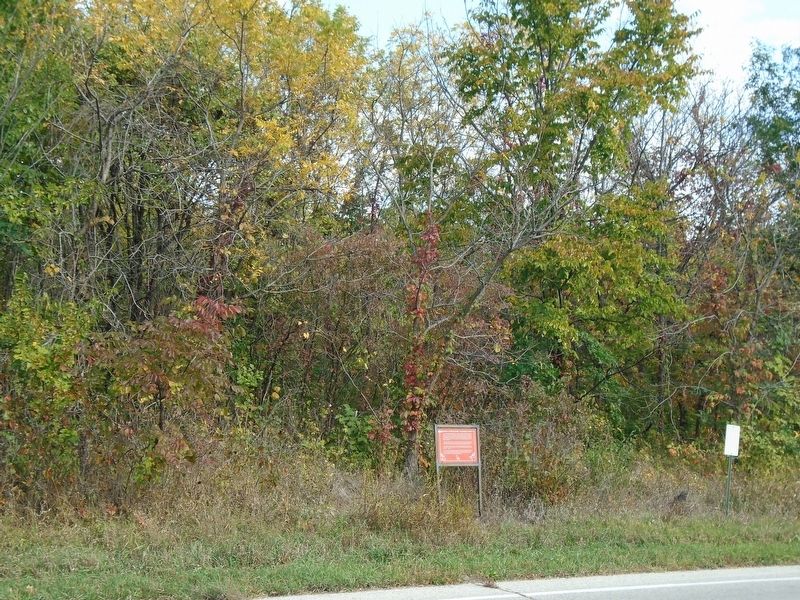
2. Woody Agriculture Planting (1997) and Marker
More about this marker. This is an active US Army post. Proper identification is required for entry.
Credits. This page was last revised on October 17, 2025. It was originally submitted on October 17, 2025, by William Fischer, Jr. of Reynoldsburg, Ohio. This page has been viewed 61 times since then and 34 times this year. Photos: 1, 2. submitted on October 17, 2025, by William Fischer, Jr. of Reynoldsburg, Ohio.
