
Centre Wellington in Wellington County, Ontario — Central Canada (North America)
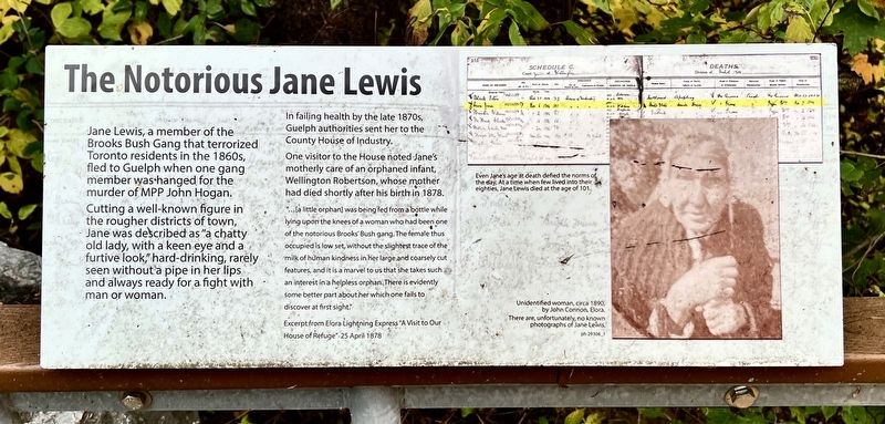
The Notorious Jane Lewis
Photographed by Tim Boyd, October 18, 2025
1. The Notorious Jane Lewis Marker
Cutting a well-known figure in the rougher districts of town, Jane was described as "a chatty old lady, with a keen eye and a furtive look," hard-drinking, rarely seen without a pipe in her lips and always ready for a fight with man or woman.
In failing health by the late 1870s, Guelph authorities sent her to the County House of Industry.
One visitor to the House noted Jane's motherly care of an orphaned infant, Wellington Robertson, whose mother had died shortly after his birth in 1878.
"... [a little orphan] was being fed from a bottle while lying upon the knees of a woman who had been one of the notorious Brooks' Bush gang. The female thus occupied is low set, without the slightest trace of the milk of human kindness in her large and coarsely cut features, and it is a marvel to us that she takes such an interest in a helpless orphan. There is evidently some better part about her which one fails to discover at first sight."
Excerpt from Elora Lightning Express A Visit to Our House of Refuge" 25 April 1878
Topics.
this page online
Location. 43° 41.487′ N, 80° 23.73′ W. Marker is in Centre Wellington, Ontario, in Wellington County. It can be reached from Wellington Road 18. The marker is on the grounds of the former House of Industry and Refuge Cemetery, entered on foot from County 18 near the memorial cairn, or by the path from the Wellington Museum, approx. 400 metres from its parking lot. Touch for map. Marker is at or near this postal address: 930 Wellington Rd 18, Centre Wellington ON N1M 2W3, Canada. Touch for directions.

Regionally, this marker is in the Huron-Perth-Waterloo-Wellington Area and in Southwestern Ontario. It is also in Central Canada. Globally, it is in North America, the Western Hemisphere, the Western World, and the Anglosphere. Historically, it finds itself in what was once a British colony, the Viceroyalty of New France, the Haudenosaunee (Iroquois) Confederacy, and Rupert’s Land.
Other nearby markers. At least 8 other markers are within walking distance of this marker: Causes of Death
Photographed by Tim Boyd, October 18, 2024
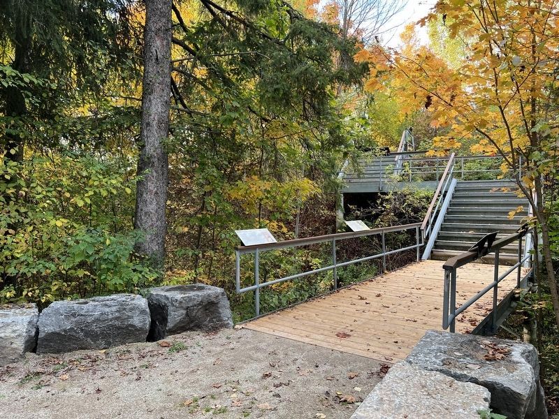
2. The Notorious Jane Lewis Marker
Closest to the camera
Photographed by Tim Boyd, October 18, 2025
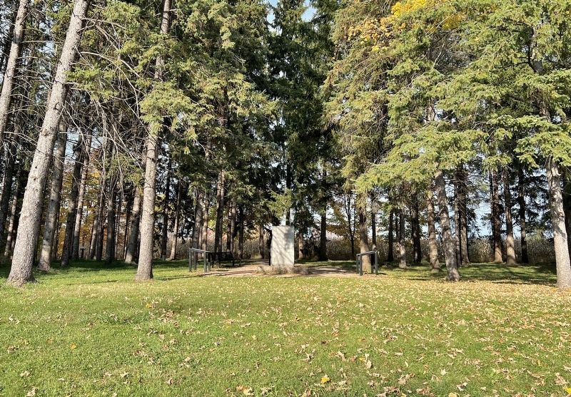
3. Entrance to the House of Industry and Refuge cemetery from County Road 14
Credits. This page was last revised on October 23, 2025. It was originally submitted on October 23, 2025, by Tim Boyd of Hamilton, Ontario. This page has been viewed 65 times since then and 25 times this year. Photos: 1, 2, 3. submitted on October 23, 2025, by Tim Boyd of Hamilton, Ontario. • Andrew Ruppenstein was the editor who published this page.
