
Centre Wellington in Wellington County, Ontario — Central Canada (North America)
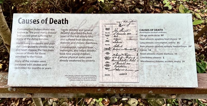
Causes of Death
Photographed by Tim Boyd, October 18, 2025
1. Causes of Death Marker
Consumption (tuberculosis) was known as "the poor man's disease" and caused great suffering for many of the dying inmates. Harsh living conditions and poor diet contributed to chronic lung and heart disease, the two main causes of illness for those admitted to the House.
Many of the inmates were paralysed with strokes and bedridden for months or years.
'Senile debility' and 'general debility' described the final years of the frail elderly who also suffered from blindness, diabetes and chronic diarrhoea. Consumption, typhoid fever, meningitis, and 'infant debility’, took nine young children, whose physical states were already weakened by poverty.
Causes of Death
(Burial Register and death certificates)
Old age, senile decay 97
Heart ailments: apoplexy, heart disease 51
Lung ailments: consumption, asthma 31
Brain ailments: paralysis, epilepsy, haemorrhages 29
Cancer: 14
Bowel ailments: chronic diarrhoea 11
Liver/kidney ailments: 7
Miscellaneous: diabetes, accident, dropsy 31
Topics. This historical marker is listed in these topic lists: Cemeteries & Burial Sites • Charity & Public Work •
this page online
Location. 43° 41.487′ N, 80° 23.73′ W. Marker is in Centre Wellington, Ontario, in Wellington County. It can be reached from Wellington Road 18. The marker is on the grounds of the former House of Industry and Refuge Cemetery, entered on foot on County 18 near the memorial cairn, or by the path from the Wellington Museum, approx. 450 metres from its parking lot. Touch for map. Marker is at or near this postal address: 930 Wellington Road 18, Centre Wellington ON N1M 2W3, Canada. Touch for directions.

Regionally, this marker is in the Huron-Perth-Waterloo-Wellington Area and in Southwestern Ontario. It is also in Central Canada. Globally, it is in North America, the Western Hemisphere, the Western World, and the Anglosphere. Historically, it finds itself in what was once a British colony, the Viceroyalty of New France, the Haudenosaunee (Iroquois) Confederacy, and Rupert’s Land.
Other nearby markers. At least 8 other markers are within walking distance of this marker: The Notorious Jane Lewis (here, next to this marker); The Funerals (here, next to this
Photographed by Tim Boyd, October 18, 2025
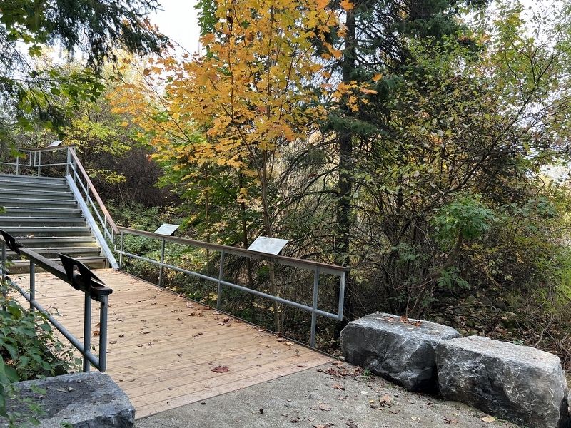
2. Causes of Death Marker
Closest to the Camera
Photographed by Tim Boyd, October 18, 2025
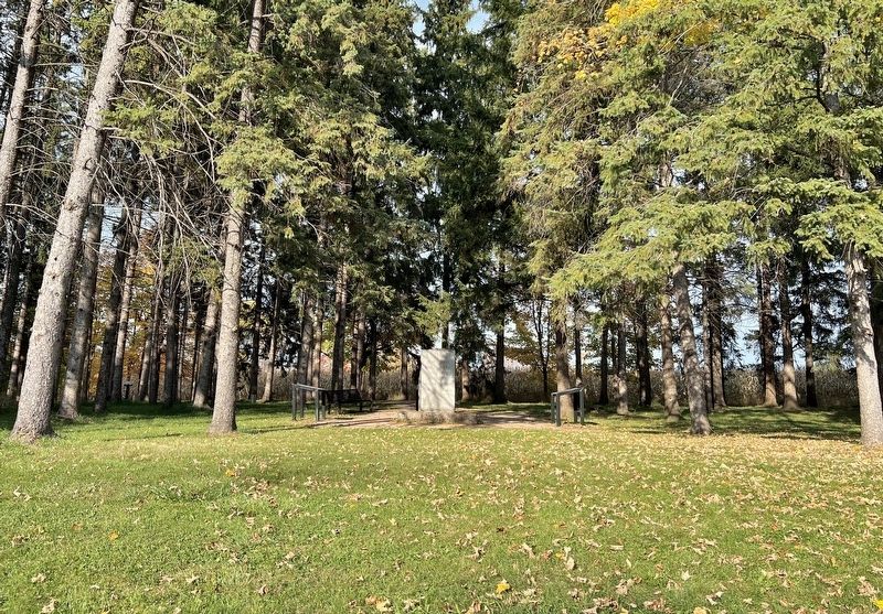
3. Entrance to the House of Industry and Refuge cemetery from County Road 18
Credits. This page was last revised on October 23, 2025. It was originally submitted on October 23, 2025, by Tim Boyd of Hamilton, Ontario. This page has been viewed 39 times since then and 13 times this year. Photos: 1, 2, 3. submitted on October 23, 2025, by Tim Boyd of Hamilton, Ontario. • Andrew Ruppenstein was the editor who published this page.
