Falls Church, Virginia — The American South (Mid-Atlantic)
The Falls Church
Photographed by Craig Swain, September 12, 2007
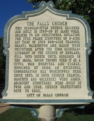
1. The Falls Church Marker
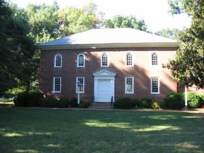
This Georgian-style church designed and built in 1767-69 by James Wren, related to Sir Christopher, replacing the 1733 frame structure on 2-acre lot (part of 1729 248-acre Trammel grant). Washington and Mason were vestrymen. After the 1788 disestablishment of the Church of England, fell into disuse until repaired in the 1830s. Union troops used it as a Civil War hospital and stable. Repaired by 1866, an Episcopal congregation has worshipped here since 1873. In 1959, church chancel narthex and galleries were added. Adjacent structures were built in 1952 and 1992. Church gravestones date to 1803.
Erected by City of Falls Church Historical Commission.
Topics and series. This historical marker is listed in these topic lists: Architecture • Cemeteries & Burial Sites • Colonial Era • Religion & Religious Structures. In addition, it is included in the Virginia, City of Falls Church series list. A significant historical year for this entry is 1733.
Location. 38° 52.844′ N, 77° 10.337′ W. Marker is in Falls Church, Virginia. It is at the intersection of East Fairfax Street and South Washington Street (County Route
this page online

Regionally, this marker is in the Washington Metropolitan Area and in Northern Virginia. It is also in the American South, specifically in the Upper South, and in the Mid-Atlantic. Globally, it is in North America, the Western Hemisphere, the Western World, and the Anglosphere. Historically, it finds itself in what was once the territory of the Mississippian Culture, one of the original Thirteen Colonies, one of the Confederate States of America, and the Antebellum South.
Other nearby markers. At least 8 other markers are within walking distance of this marker: A different marker also named The Falls Church (within shouting distance of this marker); a different marker also named The Falls Church (within shouting distance of this marker); Enslaved People (within shouting distance of this marker); Confederate Soldiers (within shouting distance of this marker); Union Soldiers (within shouting distance of this
Photographed by Craig Swain, September 12, 2007
2. The Falls Church
Also see . . . The Falls Church. Wikipedia entry (Submitted on August 10, 2024, by Larry Gertner of New York, New York.)
Photographed by Craig Swain, September 12, 2007
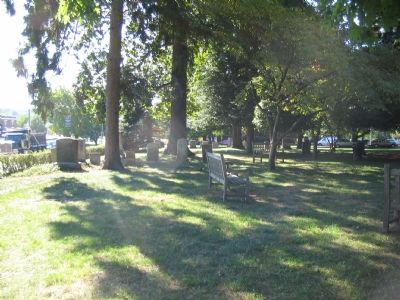
3. The Falls Church Cemetery
Photographed by Craig Swain, September 12, 2007
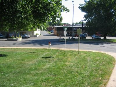
4. The Falls Church Marker at the Intersection of Fairfax and Washington Streets
Photographed by Craig Swain, September 12, 2007
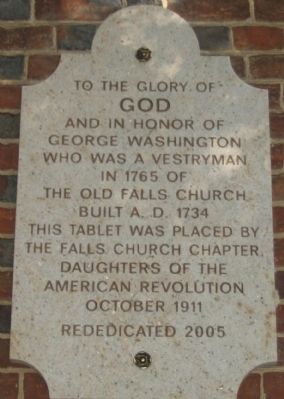
5. Dedication Stone on the West Face
GOD
and in honor of
George Washington
who was a vestryman
in 1765 of
the Old Falls Church
Built A.D. 1734
This tablet was placed by
The Falls Church Chapter
Daughters of the
American Revolution
October 1911
Rededicated 2005
Photographed by Devry Becker Jones (CC0), June 7, 2020
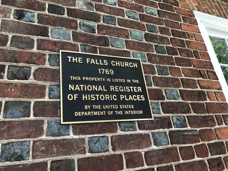
6. National Register of Historic Places plaque on the church
Credits. This page was last revised on August 21, 2024. It was originally submitted on October 9, 2007, by Craig Swain of Leesburg, Virginia. This page has been viewed 5,316 times since then and 55 times this year. Photos: 1, 2, 3, 4, 5. submitted on October 9, 2007, by Craig Swain of Leesburg, Virginia. 6. submitted on June 7, 2020, by Devry Becker Jones of Washington, District of Columbia.
