Wichita Falls in Wichita County, Texas — The American South (West South Central)
Dr. Anne Elizabeth Davis Roark
(1894-1984)

Photographed by James Hulse, October 26, 2025
1. Dr. Anne Elizabeth Davis Roark Marker
Dr. Roark opened a practice in Mineral Wells, but shortly moved to Wichita Falls with her husband, Daniel Henry Roark. Dr. Roark practiced podiatry in Wichita Falls for nearly 60 years, opening her first office in 1923. Dr. Roark's office from the 1920s to 1940s was located in the downtown area, serving white patrons, an unusual occurrence in the segregated community of Wichita Falls.
Meanwhile, Dr. Roark and her husband were active in their East Side community. During the 1940s, they operated the Roark Plaza Hotel and Coffee Shop, a site that served as a poll tax location and a waitress training site for African Americans. The Roarks were active in their church, Anderson Chapel A.M.E., and contributed to the local NAACP and church women united.
After Daniel's death, Dr. Roark continued their plans to open an African American theater, the Isis, on the East Side of town. The theater brought in well-known African American artists and movies for the community. The theater was also used as the Negro Service Men's Center as there were no facilities at Sheppard Air Force Base for African American soldiers.
In the face of adversity, Dr. Roark persevered to achieve her goals and to better the cultural environment of her community. Dr. Anne Roark passed in 1984 and is buried beside her husband in Lake View Cemetery.
Erected 2016 by Texas Historical Commission. (Marker Number 18587.)
Topics. This historical marker is listed in these topic lists: African Americans
this page online
Location. 33° 54.919′ N, 98° 28.838′ W. Marker is in Wichita Falls, Texas, in Wichita County. It is at the intersection of Flood Street and Homes Ave, on the right when traveling west on Flood Street. The marker is located along the corner of the street. Touch for map. Marker is at or near this postal address: 432 Flood St, Wichita Falls TX 76301, United States of America. Touch for directions.

Regionally, this marker is in Big Country. Globally, it is in North America, a Gulf of Mexico state, the Western Hemisphere, the Western World, and the Anglosphere. Historically, it finds itself in what was once New Spain, the Comanchería, the Republic of Texas, and one of the Confederate States of America.
Other nearby markers. At least 8 other markers are within walking distance of this marker: Dr. Colonel Bertram (C.B.) Fuller (within shouting distance of this marker); Booker T. Washington High School (approx. 0.2 miles away); Site of Booker T. Washington High School (approx. 0.2 miles away); Mt. Pleasant Missionary Baptist Church
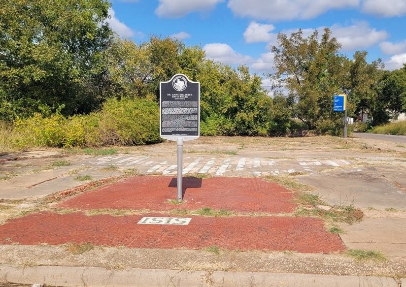
Photographed by James Hulse, October 26, 2025
2. Dr. Anne Elizabeth Davis Roark Marker
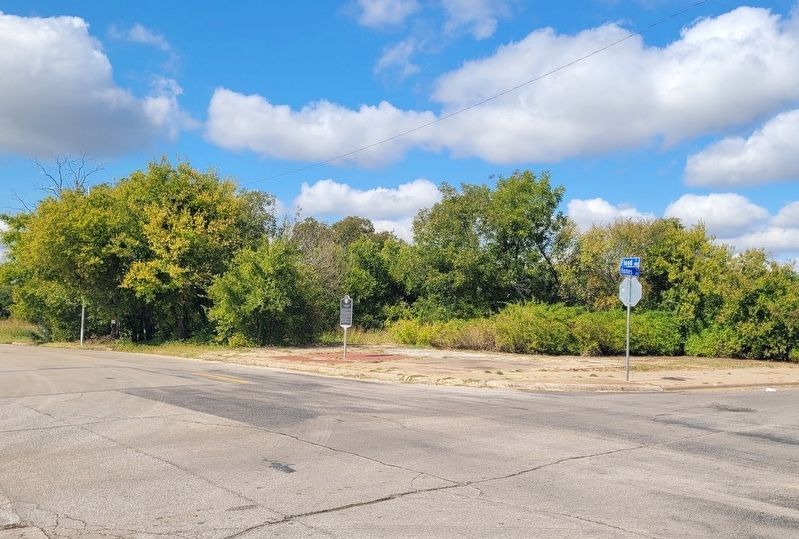
Photographed by James Hulse, October 26, 2025
3. The view of the marker along the street
Credits. This page was last revised on October 26, 2025. It was originally submitted on October 26, 2025, by James Hulse of Medina, Texas. This page has been viewed 46 times since then and 22 times this year. Photos: 1, 2, 3. submitted on October 26, 2025, by James Hulse of Medina, Texas.
