Solomons in Calvert County, Maryland — The American Northeast (Mid-Atlantic)
Watery Grave

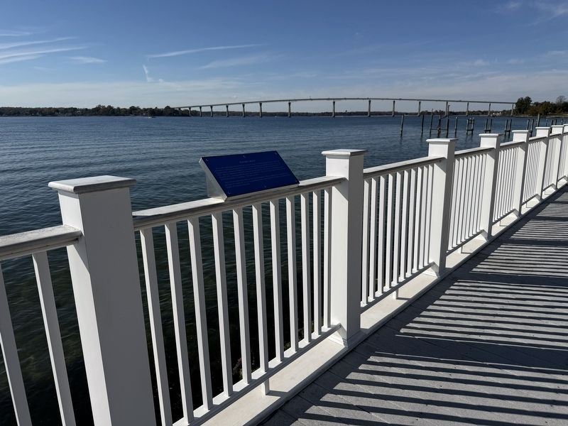
Just as above and opposite Point Patience on the St. Mary's side of the Patuxent River under 126' of water is a submarine, designated the S-49. Construction began on October 22, 1920, by the Lake Torpedo Boat Company in Bridgeport, Connecticut, and the vessel was commissioned on June 5, 1922. She was engaged in submarine research and development. The S-49 was decommissioned on August 2, 1927, and struck from the navy list on March 21, 1931. It was then sold to the Boston Iron and Metal Company in Baltimore, Maryland, in 1931.
The S-49 was reduced to a hulk in 1936 but not scrapped. She was apparently re-acquired seven years later as "equipment" for used in experimental work at the Naval Mine Warfare Test Station Point Patience in Solomons, Maryland.
Topics. This historical marker is listed in these topic lists: Industry & Commerce • Military • Science & Medicine • Waterways & Vessels. A significant historical date for this entry is March 21, 1931.
Location. 38° 19.334′ N, 76° 27.601′ W. Marker is in Solomons, Maryland, in Calvert County. It is on Solomons Island Road South south of Alexander Lane, on the right when
this page online

Regionally, this marker is in Southern Maryland. It is also in the American South, specifically in the Upper South, in the Mid-Atlantic, in the Tidewater, in the Chesapeake Bay Region, and on the Eastern Seaboard. Globally, it is in the North Atlantic Region, North America, the Western Hemisphere, the Western World, and the Anglosphere. Historically, it finds itself in what was once one of the original Thirteen Colonies and also the Antebellum South.
Other nearby markers. At least 8 other markers are within walking distance of this marker: M. M. Davis Shipyard (within shouting distance of this marker); Governor Thomas Johnson Bridge (within shouting distance of this marker); War of 1812 (within shouting distance of this marker); Point Patience (about 400 feet away, measured in a direct line); Dewey Floating Dry Dock (about 500 feet away); Patuxent Ghost Fleet (1927-1941) (about 600 feet away); Majestic Patuxent River (about 700 feet away); J. C. Lore & Sons Oyster House
Credits. This page was last revised on November 2, 2025. It was originally submitted on November 2, 2025, by Devry Becker Jones of Washington, District of Columbia. This page has been viewed 43 times since then and 23 times this year. Photos: 1, 2. submitted on November 2, 2025, by Devry Becker Jones of Washington, District of Columbia.
