Solomons in Calvert County, Maryland — The American Northeast (Mid-Atlantic)
Point Patience

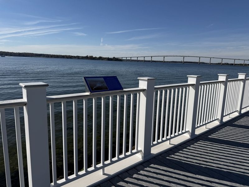
John Ashcomb acquired a 360-acre patent known as Point Patience in 1661. The British burned the original house in 1780. After rebuilding, it was again burned by the British in 1814. The point itself is a long sandy neck that proved to be an obstacle for mariners. Sailing vessels had difficulty negotiating this point because of strong tides and winds. Captains would stay in the stream until conditions were favorable for them to sail, hence the name Point Patience.
Topics. This historical marker is listed in these topic lists: Colonial Era • War of 1812 • War, US Revolutionary • Waterways & Vessels. A significant historical year for this entry is 1661.
Location. 38° 19.276′ N, 76° 27.549′ W. Marker is in Solomons, Maryland, in Calvert County. It is on Solomons Island Road South north of Charles Street, on the right when traveling south. Touch for map. Marker is at or near this postal address: 14571 Solomons Island Rd S, Solomons MD 20688, United States of America. Touch for directions.

Regionally, this marker is in Southern Maryland. It is also in the American South, specifically in the Upper South, in
this page online
Other nearby markers. At least 8 other markers are within walking distance of this marker: Dewey Floating Dry Dock (here, next to this marker); Majestic Patuxent River (within shouting distance of this marker); Governor Thomas Johnson Bridge (about 300 feet away, measured in a direct line); The ESSO Fleet (about 400 feet away); Watery Grave (about 400 feet away); M. M. Davis Shipyard (about 400 feet away); Patuxent River Naval Air Station (about 500 feet away); War of 1812 (about 600 feet away). Touch for a list and map of all markers in Solomons.
Credits. This page was last revised on November 2, 2025. It was originally submitted on November 2, 2025, by Devry Becker Jones of Washington, District of Columbia. This page has been viewed 129 times since then and 95 times this year. Photos: 1, 2. submitted on November 2, 2025, by Devry Becker Jones of Washington, District of Columbia.
