Upper Sandusky in Wyandot County, Ohio — The American Midwest (Great Lakes)
The Wyandot Removal Trail
⎯⎯⎯
Upper Sandusky (July 11, 1843)
Photographed by Craig Doda, November 1, 2025
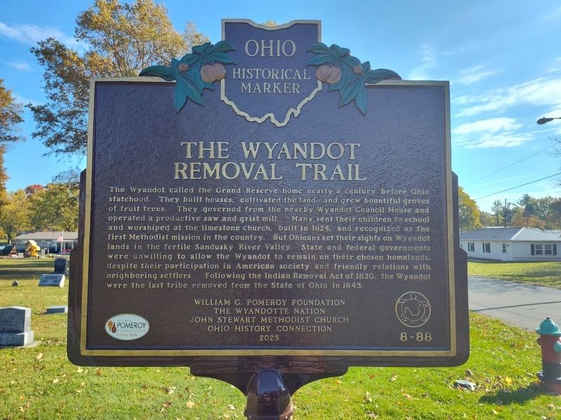
1. The Wyandot Removal Trail side of marker
The Wyandot Removal Trail. The Wyandot called the Grand Reserve home nearly a century before Ohio statehood. They built houses, cultivated the land, and grew bountiful groves of fruit trees. They governed from the nearby Wyandot Council House and operated a productive saw and grist mill. Many sent their children to school and worshiped at the limestone church, built in 1824, and recognized as the first Methodist mission in the country. But Ohioans set their sights on Wyandot lands in the fertile Sandusky River Valley. State and federal governments were unwilling to allow the Wyandot to remain on their chosen homelands, despite their participation in American society and friendly relations with neighboring settlers. Following the Indian Removal Act of 1830, the Wyandot were the last tribe removed from the State of Ohio in 1843.
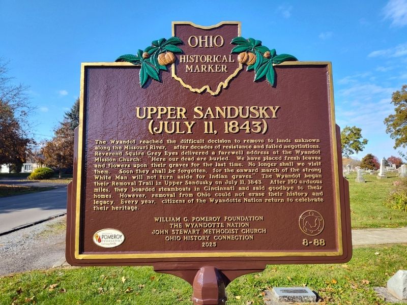
Upper Sandusky (July 11, 1843). The Wyandot reached the difficult decision to remove to lands unknown along the Missouri River, after decades of resistance and failed negotiations. Reverend Squire Grey Eyes delivered a farewell address at the Wyandot Mission Church: "Here our dead are buried.
this page online
Erected 2025 by William G. Pomeroy Foundation; The Wyandotte Nation; John Stewart Methodist Church; Ohio History Connection. (Marker Number 8-88.)
Topics and series. This historical marker is listed in these topic lists: Cemeteries & Burial Sites • Indigenous Peoples and Communities • Religion & Religious Structures. In addition, it is included in the Ohio Historical Society / The Ohio History Connection, and the William G. Pomeroy Foundation series lists. A significant historical date for this entry is July 11, 1843.
Location. 40° 50.137′ N, 83° 16.7′ W. Marker is in Upper Sandusky, Ohio, in Wyandot
Photographed by Craig Doda, November 1, 2025
2. Upper Sandusky (July 11, 1843) side of marker

Regionally, this marker is in the Till Plains. It is also in the American Midwest and in the Corn Belt. Globally, it is in North America, the Western Hemisphere, the Western World, and the Anglosphere. Historically, it finds itself in what was once the Viceroyalty of New France, the Haudenosaunee (Iroquois) Confederacy, the territory of the Mississippian Culture, and the Northwest Territory.
Other nearby markers. At least 8 other markers are within walking distance of this marker: Wyandott Indian Mission (within shouting distance of this marker); John Stewart (within shouting distance of this marker); Wyandot Mission Church (within shouting distance of this marker); a different marker also named Wyandot Mission Church (within shouting distance of this marker); Wyandot County World War II Memorial (approx. 0.2 miles away); Wyandot County World War I Memorial (approx.
Photographed by Craig Doda, November 1, 2025
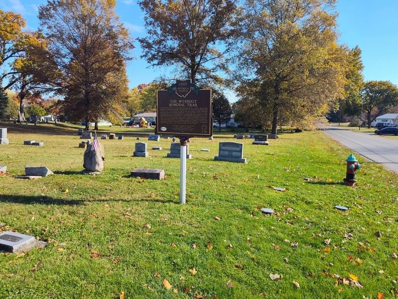
3. The Wyandot Removal Trail / Upper Sandusky (July 11, 1843) Marker
Another marker is no longer nearby. Departure of the Wyandot Indians (was here, next to this marker but has been permanently removed).
Photographed by Craig Doda, November 1, 2025
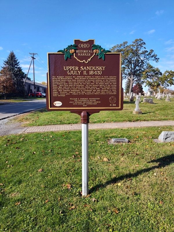
4. The Wyandot Removal Trail / Upper Sandusky (July 11, 1843) Marker
Credits. This page was last revised on November 8, 2025. It was originally submitted on November 3, 2025, by Craig Doda of Napoleon, Ohio. This page has been viewed 195 times since then and 107 times this year. Photos: 1, 2, 3, 4. submitted on November 3, 2025, by Craig Doda of Napoleon, Ohio. • Andrew Ruppenstein was the editor who published this page.
