Old Pasadena in Los Angeles County, California — The American West (Pacific Coastal)
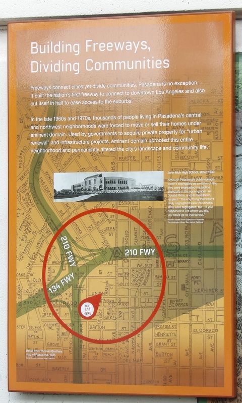
Building Freeways, Dividing Communities
Photographed by Duane and Tracy Marsteller, September 27, 2025
1. Building Freeways, Dividing Communities Marker
In the late 1960s and 1970s, thousands of people living in Pasadena's central and northwest neighborhoods were forced to move or sell their homes under eminent domain. Used by governments to acquire private property for “urban renewal” and infrastructure projects, eminent domain uprooted this entire neighborhood and permanently altered the city's landscape and community life.
John Muir High School, about 1930
Although Pasadena's public schools weren't segregated as a matter of law, they were segregated in practice, especially in the upper grades. As Donald Mims, a local Pasadean, recalled: “The only thing that wasn't really segregated were the schools. They were segregated, but … if you happened to live where you did, you could go to that school.” (Harold A. Parker Studio Collection of Negatives, The Huntington Library, San Marino, California)
Background: Detail from Thomas Brothers map of Pasadena, 1935. David Rumsey Historical Map Collection
Topics. This historical marker is listed in these topic lists: African Americans • Civil Rights • Roads & Vehicles. A significant historical year for this entry is 1930.
Location. 34° 8.852′ N, 118° 9.132′ W. Marker is in Pasadena, California, in Los Angeles County. It is in Old Pasadena. It is at the intersection of Leonard J Pieroni Street and Holly Street, on the right when traveling north on Leonard J Pieroni Street. Touch for map. Marker is in this post office area: Pasadena CA 91124, United States of America. Touch for directions.

Regionally, this marker is in Greater Los Angeles and in the Transverse Ranges. It is also on the American
this page online
Other nearby markers. At least 8 other markers are within walking distance of this marker: Exploring Pasadena's Past (here, next to this marker); Mapping Prejudice in Pasadena (here, next to this marker); At Home in Old Pasadena (within shouting distance of this marker); Bonham Alley (about 400 feet away, measured in a direct line); Pioneers & Entrepreneurs (about 400 feet away); Christensen Alley (about 500 feet away); Hugus Alley (about 500 feet away); Places Change, People Endure (about 600 feet away). Touch for a list and map of all markers in Pasadena.
Photographed by Duane and Tracy Marsteller, September 27, 2025
2. Building Freeways, Dividing Communities Marker
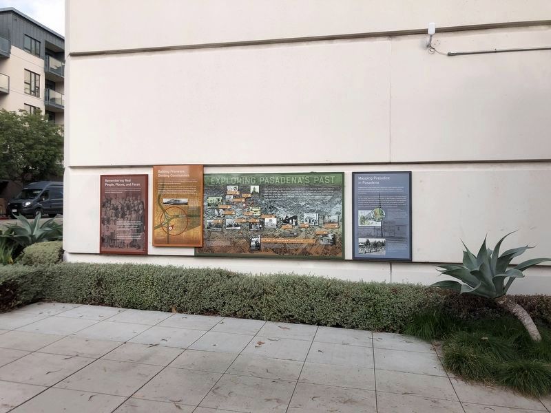
This marker is second from left.
Credits. This page was last revised on November 6, 2025. It was originally submitted on November 5, 2025, by Duane and Tracy Marsteller of Murfreesboro, Tennessee. This page has been viewed 51 times since then and 17 times this year. Photos: 1, 2. submitted on November 5, 2025, by Duane and Tracy Marsteller of Murfreesboro, Tennessee.
