
Omaha in Douglas County, Nebraska — The American Midwest (Upper Plains)
Boettger Farm
Photographed by Cosmos Mariner, September 16, 2025
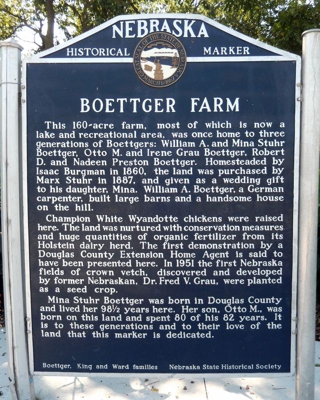
1. Boettger Farm Marker
This 160-acre farm, most of which is now a lake and recreational area, was once home to three generations of Boettgers: William A. and Mina Stuhr Boettger, Otto M. and Irene Grau Boettger, Robert D. and Nadeen Preston Boettger. Homesteaded by Isaac Burgman in 1860, the land was purchased by Marx Stuhr in 1887, and given as a wedding gift to his daughter, Mina. William A. Boettger, a German carpenter, built large barns and a handsome house on the hill.
Champion White Wyandotte chickens were raised here. The land was nurtured with conservation measures and huge quantities of organic fertilizer from its Holstein dairy herd. The first demonstration by a Douglas County Extension Home Agent is said to have been presented here. In 1951 the first Nebraska fields of crown vetch, discovered and developed by former Nebraskan, Dr. Fred V. Grau, were planted as seed crop.
Mina Stuhr Boettger was born in Douglas County and lived her 98 1/2 years here. Her son, Otto M., was born on this land and spent 80 of his 82 years. It is to these generations and to their love of the land that this marker is dedicated.
Erected by Boettger, King
this page online
Topics and series. This historical marker is listed in these topic lists: Agriculture • Parks & Recreational Areas • Settlements & Settlers. In addition, it is included in the Nebraska State Historical Society series list. A significant historical year for this entry is 1860.
Location. 41° 21.865′ N, 96° 3.219′ W. Marker is in Omaha, Nebraska, in Douglas County. It can be reached from Bennington Road (State Highway 36) 0.4 miles east of North 96th Street, on the right when traveling east. The marker is at the Lake Cunningham Recreation Area north entrance parking lot. Touch for map. Marker is in this post office area: Omaha NE 68122, United States of America. Touch for directions.

Regionally, this marker is in Eastern Nebraska. It is also in the American Midwest, in the Lewis & Clark Corridor, in the Corn Belt, and on the prairies. Globally, it is in North America, the Western Hemisphere, the Western World, and the Anglosphere. Historically, it finds itself in what was once the Louisiana Purchase.
Other nearby markers. At least 8 other
Photographed by Cosmos Mariner, September 16, 2025
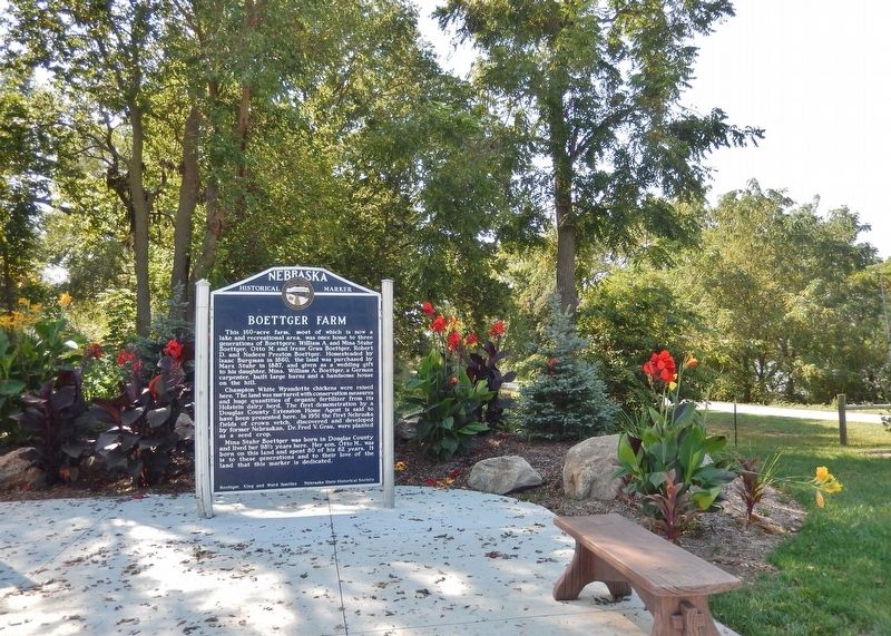
2. Boettger Farm Marker
The marker is at the Lake Cunningham Recreation Area north entrance parking lot.
Another marker is no longer nearby. The Florence Mill (was approx. 4.9 miles away but has been confirmed missing).
Photographed by Cosmos Mariner, September 16, 2025
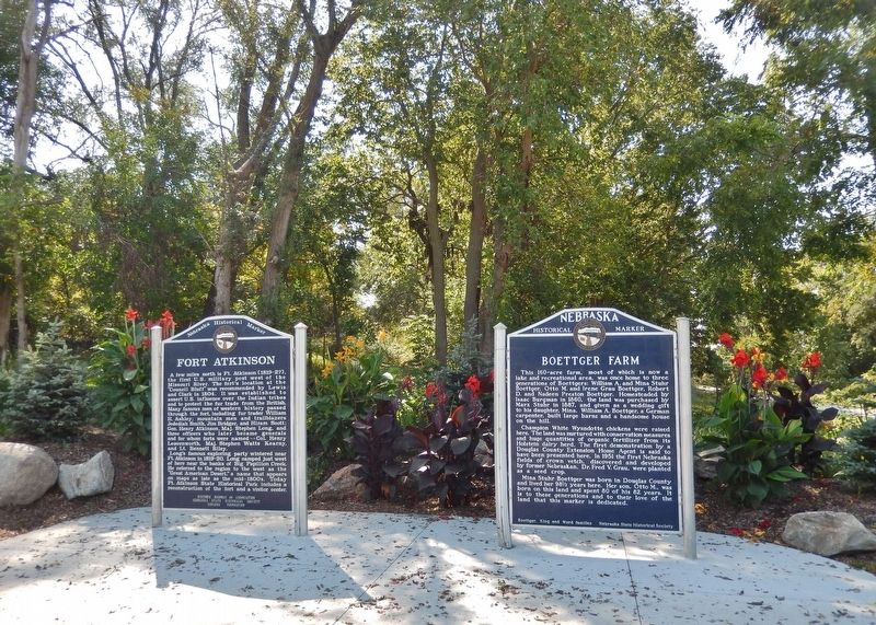
3. Boettger Farm Marker
This is the rightmost of 2 Nebraska Historical State Historical Society markers at this location.
Photographed by Cosmos Mariner, September 16, 2025
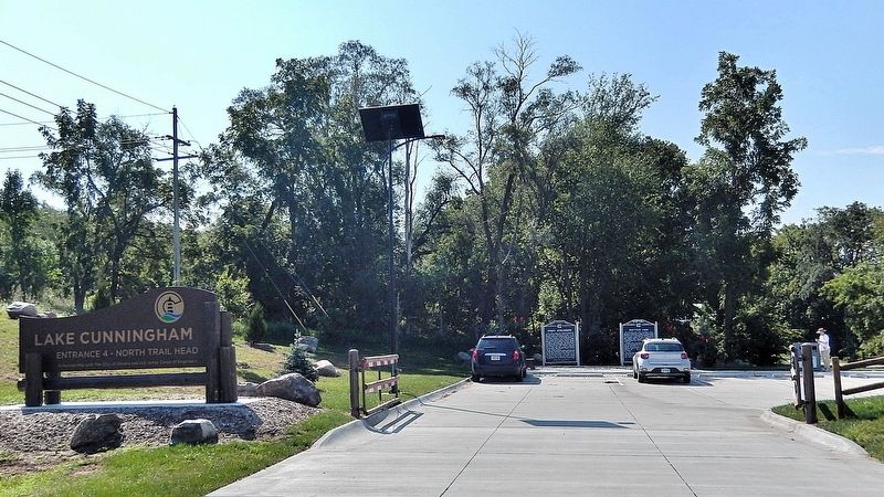
4. Lake Cunningham Recreation Area — north entrance
Looking south from Bennington Road (State Highway 36). The marker is near the parking lot entrance.
Credits. This page was last revised on November 7, 2025. It was originally submitted on November 6, 2025, by Cosmos Mariner of Cape Canaveral, Florida. This page has been viewed 75 times since then and 49 times this year. Photos: 1, 2, 3, 4. submitted on November 7, 2025, by Cosmos Mariner of Cape Canaveral, Florida.
