Spotsylvania Courthouse in Spotsylvania County, Virginia — The American South (Mid-Atlantic)
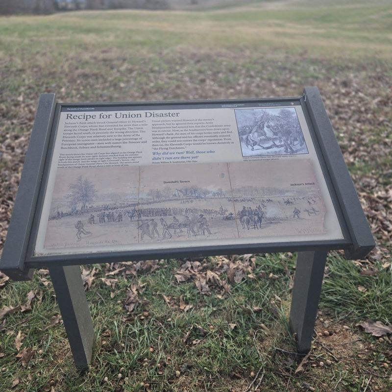
Recipe for Union Disaster
The Battle of Chancellorsville
| — | Fredericksburg and Spotsylvania National Military Park | — |
Photographed by Mike McKeown, November 11, 2025
1. Recipe for Union Disaster Marker
Union pickets warned Howard of the enemy's approach, but he ignored their reports. Army Headquarters had assured him that the Confederate army was in retreat. Now, as the Southerners bore down upon Howard's flank, the men of his corps broke ranks and fled. Although the general and his officers eventually restored order, they could not restore the corps' reputation. From then on, the Eleventh Corps would be known derisively as "the Flying Dutchmen.
Why did we run? Well, those who didn't run are there yet! Private William B. Southerton, 75th Ohio
(captions)
Union General Oliver Otis Howard vainly rally his panicked troops (above).
This sketch shows the Union 11th Corps line aligned on the Orange Plank Road, facing south (to your right). Jackson attacked from the extreme right of this image (note smoke on right edge). The building that appears in both this sketch and the image at right is Dowdall's Tavern—the headquarters of Union General Oliver Otis Howard. The tavern stood south of the Orange Plank Road, about a mile in front of you.
Erected by Department
this page online
Topics. This historical marker is listed in these topic lists: Immigration • War, US Civil. A significant historical date for this entry is May 2, 1863.
Location. 38° 18.932′ N, 77° 40.873′ W. Marker is in Spotsylvania Courthouse, Virginia, in Spotsylvania County. It can be reached from Plank Road (Virginia Route 3), on the right when traveling west. Located at driving tour stop eight of the Battle of Chancellorsville. The site is west of the visitors center. Touch for map. Marker is in this post office area: Spotsylvania VA 22553, United States of America. Touch for directions.

Regionally, this marker is in the Washington Metropolitan Area, in Northern Virginia, and in the Piedmont. It is also in the American South, specifically in the Upper South, in the Mid-Atlantic, and on the Eastern Seaboard. Globally, it is in the North Atlantic Region, North America, the Western Hemisphere, the Western World, and the Anglosphere. Historically, it finds itself in what was once the territory of the Mississippian Culture, one of the original Thirteen Colonies, one of the Confederate States of
Photographed by Mike McKeown, November 11, 2025
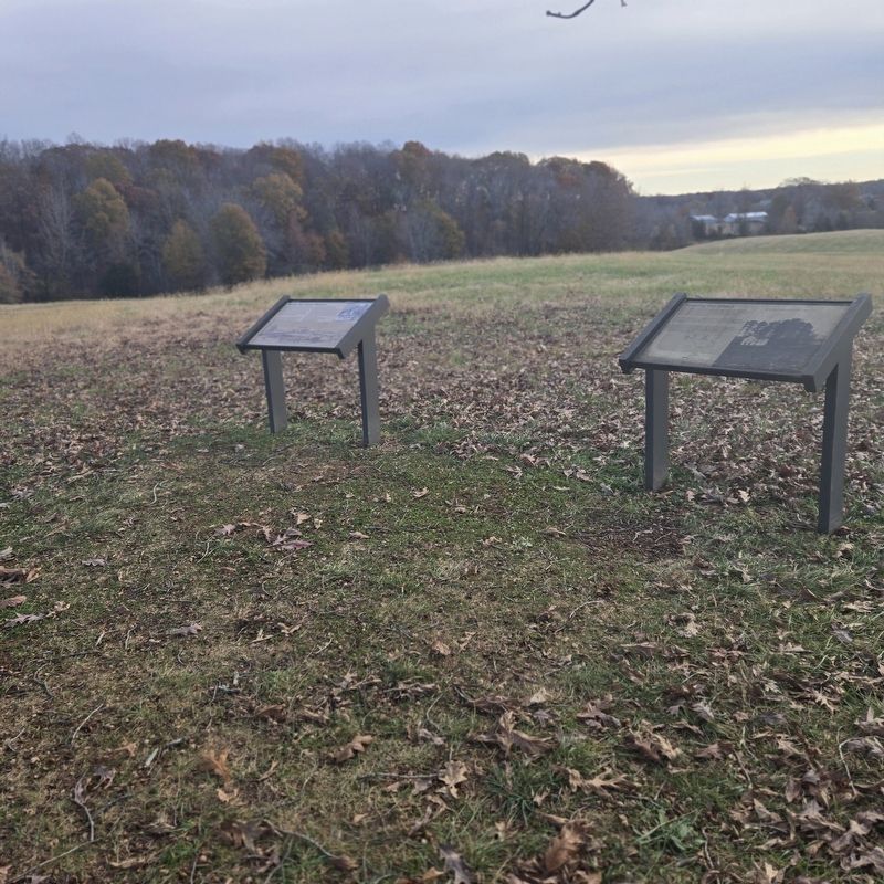
2. Recipe for Union Disaster Marker
Marker is on the left
Other nearby markers. At least 8 other markers are within 2 miles of this marker, measured as the crow flies: Pressing the Attack (here, next to this marker); Jackson Attacks (a few steps from this marker); The Attack Gains Momentum (approx. 0.4 miles away); 154th New York State Volunteer Infantry (approx. 0.9 miles away); Civil War Earthworks (approx. 1.6 miles away); The Wilderness of Spotsylvania County (approx. 1.6 miles away); Brig. Gen. E. F. Paxton, C.S.A. (approx. 1.6 miles away); Chancellorsville Campaign (approx. 1.7 miles away). Touch for a list and map of all markers in Spotsylvania Courthouse.
Another marker is no longer nearby. The Flying Dutchmen (was here, next to this marker but has been replaced with another marker now near it).
Related marker. Click here for another marker that is related to this marker. Old Marker At This Location titled "The Flying Dutchmen".
Also see . . . Chancellorsville Battlefield (National Park Service). (Submitted on December 9, 2025, by Mike McKeown of Baltimore, Maryland.)
Photographed by Mike McKeown, November 11, 2025
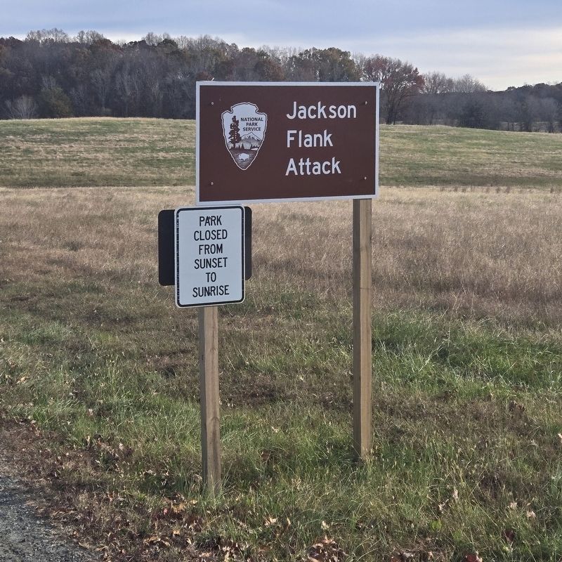
3. Sign off Plank Road
a gravel road here leads to the marker
Credits. This page was last revised on January 20, 2026. It was originally submitted on November 11, 2025, by Mike McKeown of Baltimore, Maryland. This page has been viewed 83 times since then and 50 times this year. Photos: 1, 2, 3. submitted on November 11, 2025, by Mike McKeown of Baltimore, Maryland. • Bernard Fisher was the editor who published this page.
