
Near Bishop in Inyo County, California — The American West (Pacific Coastal)
Schober Lane Campground
Brown’s Town Campground
Photographed by Craig Baker, November 1, 2025
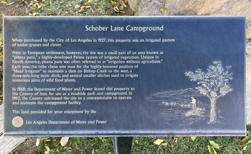
1. Schober Lane Campground Marker
When purchased by the City of Los Angeles in 1927, this property was an irrigated pasture of native grasses and clover.
Prior to European settlement, however, the site was a small part of an area known as "pitana patu," a highly-developed Paiute system of irrigated vegetation. Unique in North America, pitana patu was often referred to as "irrigation without agriculture." Each year, the tribe chose one man for the highly-honored position of "Head Irrigator" to maintain a dam on Bishop Creek to the west, a three-mile-long main ditch, and several smaller ditches used to irrigate numerous plots of wild food plants.
In 1960, the Department of Water and Power leased this property to the County of Inyo for use as a roadside park and campground. In 1982, the County sub-leased the site to a concessionaire to operate and maintain the campground facility.
This land provided for your enjoyment by the Los Angeles Department of Water and Power
Erected by Los Angeles Department of Water and Power.
Topics. This historical marker is listed in these topic lists: Indigenous Peoples and Communities
this page online
Location. 37° 20.776′ N, 118° 23.759′ W. Marker is near Bishop, California, in Inyo County. It is at the intersection of Schober Lane and U.S. 395, on the left when traveling west on Schober Lane. Touch for map. Marker is at or near this postal address: 20 Schober Lane, Bishop CA 93514, United States of America. Touch for directions.

Regionally, this marker is in California’s Sierra Nevada. It is also in the American Mountain West. Globally, it is in North America, on the Ring of Fire, in the Pacific Rim, in the Western Hemisphere, in the Western World, and in the Anglosphere. Historically, it finds itself in what was once New Spain and also Mexico’s Alta California.
Other nearby markers. At least 8 other markers are within 2 miles of this marker, measured as the crow flies: The Old Inyo County Jailhouse (approx. 0.9 miles away); Horace Marden Albright (approx. 1.1 miles away); First United Methodist Church of Bishop (approx. 1.1 miles away); The Ernest Kinney Teamster Family Mural (approx. 1.2 miles away); The Kittie Lee Inn

Photographed by Craig Baker, November 1, 2025
2. Schober Lane Campground Marker
Another marker is no longer nearby. Dangerous Arrest (was approx. 1.1 miles away but has been confirmed missing).
Regarding Schober Lane Campground. This is now Brown’s Town Campground. Facing the highway is a replica of an Old West main street, with displays of antiques from Bishop’s past.
The campground is open March 1 – November 30.

Photographed by Craig Baker, November 1, 2025
3. Today it’s Brown’s Town Campground

Photographed by Craig Baker, November 1, 2025
4. Brown’s Town Campground
Credits. This page was last revised on November 17, 2025. It was originally submitted on November 11, 2025, by Craig Baker of Sylmar, California. This page has been viewed 48 times since then and 25 times this year. Photos: 1, 2, 3, 4. submitted on November 11, 2025, by Craig Baker of Sylmar, California.
