
Annapolis in Anne Arundel County, Maryland — The American Northeast (Mid-Atlantic)
Ecosystem Restoration
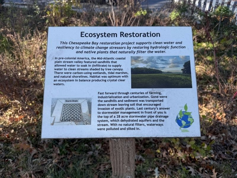
In pre-colonial America, the Mid-Atlantic coastal plain stream valley featured sandhills that allowed water to soak in (infiltrate) to supply water to clean streams shaded by tree canopy. There were carbon-using wetlands, tidal marshes, and natural shorelines. Habitat was optimum with an ecosystem in balance producing crystal clear waters.
Fast forward through centuries of farming, industrialization and urbanization. Gone were the sandhills and sediment was transported down stream leaving soil that encouraged invasion of exotic plants. Last century's answer to stormwater managemennt in front of you is the top of a 28 acre stormwater pipe drainage system, which hydrated aquifers and the stream. With no natural filters, waterways were polluted and silted in.
Topics. This historical marker is listed in these topic lists: Agriculture • Environment • Industry & Commerce • Settlements & Settlers.
Location. 38° 57.817′ N,
this page online

Regionally, this marker is in Central Maryland. It is also in the American Mid-Atlantic, in the Chesapeake Bay Region, and on the Eastern Seaboard. Globally, it is in the North Atlantic Region, North America, the Western Hemisphere, the Western World, and the Anglosphere. Historically, it finds itself in what was once one of the original Thirteen Colonies and also the Antebellum South.
Other nearby markers. At least 8 other markers are within walking distance of this marker: "Burnside" (approx. 0.4 miles away); Eastport Veterans Park (approx. half a mile away); Welcome to Eastport (approx. 0.6 miles away); Carr's Beach (approx. 0.6 miles away); Lafayette’s Encampment (approx. 0.6 miles away); The Watermen of Back Creek (approx. 0.6 miles away); Skipjack Lydia D (approx. 0.7 miles away); CBOS Buoy - Smart Buoys to Save the Bay

Other markers no longer nearby. The Old Farmhouse (was approx. half a mile away but has been replaced with another marker now near it); a different marker also named Welcome to Eastport (was approx. 0.6 miles away but has been replaced with another marker now near it); On to Yorktown (was approx. 0.6 miles away but has been permanently removed); a different marker also named The Watermen of Back Creek (was approx. 0.6 miles away but has been replaced with another marker now near it).

By Devry Becker Jones (CC0), November 16, 2025
3. Welcome to St. Luke's Restoration of Nature
While most signs along this trail do not serve as historical markers, Ecosystem Restoration does. The marker interprets how different aspects of human activity have effected the local ecosystem.
Credits. This page was last revised on November 16, 2025. It was originally submitted on November 16, 2025, by Devry Becker Jones of Washington, District of Columbia. This page has been viewed 45 times since then and 21 times this year. Photos: 1, 2, 3. submitted on November 16, 2025, by Devry Becker Jones of Washington, District of Columbia.
