
Annapolis Maritime Museum - Park Campus in Anne Arundel County, Maryland — The American Northeast (Mid-Atlantic)
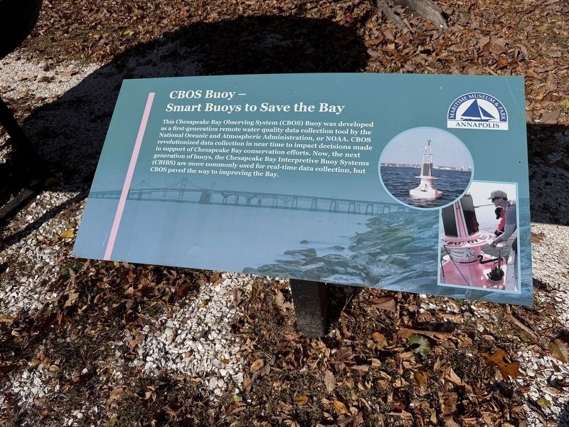
CBOS Buoy - Smart Buoys to Save the Bay
Maritime Museum & Park
| — | Annapolis | — |
Photographed by Devry Becker Jones (CC0), November 16, 2025
1. CBOS Buoy - Smart Buoys to Save the Bay Marker
This Chesapeake Bay Observing System (CBOS) Buoy was developed as a first-generation remote water quality data collection tool by the National Oceanic and Atmospheric Administration, or NOAA. CBOS revolutionized data collection in near time to impact decisions made in support of Chesapeake Bay conservation efforts. Now, the next generation of buoys, the Chesapeake Bay Interpretive Buoy Systems (CBIBS) are more commonly used for real-time data collection, but CBOS paved the way to improving the Bay.
Erected by Maritime Museum & Park.
Topics. This historical marker is listed in these topic lists: Communications • Science & Medicine • Waterways & Vessels.
Location. 38° 57.695′ N, 76° 28.632′ W. Marker is in Annapolis, Maryland, in Anne Arundel County. It is in Annapolis Maritime Museum - Park Campus. It is on Edgewood Road south of Elizabeth Drive, on the right when traveling south. Touch for map. Marker is at or near this postal address: 7241 Edgewood Rd, Annapolis MD 21403, United States of America. Touch for directions.

Regionally, this marker is in
this page online
Other nearby markers. At least 8 other markers are within walking distance of this marker: Skipjack Lydia D (here, next to this marker); A History of 'The Beach' (about 700 feet away, measured in a direct line); Hoppy Adams & WANN (about 700 feet away); Carr's and Sparrow's Beach (about 800 feet away); Chitlin' Circuit (approx. 0.2 miles away); Carr's Beach (approx. 0.3 miles away); Oysters: Vital to the Lifeline of the Chesapeake (approx. half a mile away); From this spot, you can see 1998 - Annapolis: America's Sailing Capital (approx. half a mile away). Touch for a list and map of all markers in Annapolis.

Credits. This page was last revised on November 16, 2025. It was originally submitted on November 16, 2025, by Devry Becker Jones of Washington, District of Columbia. This page has been viewed 52 times since then and 19 times this year. Photos: 1, 2. submitted on November 16, 2025, by Devry Becker Jones of Washington, District of Columbia.
