Fort McPherson National Cemetery in Maxwell in Lincoln County, Nebraska — The American Midwest (Upper Plains)
Fort McPherson National Cemetery
Photographed by Susan Van Den Bosch, November 17, 2025
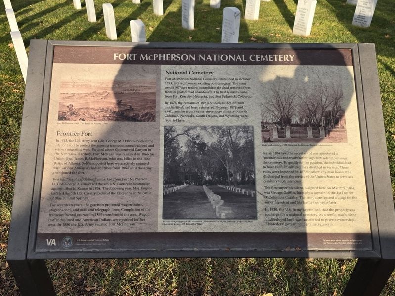
1. Fort McPherson National Cemetery Marker
Frontier Fort
In 1863, the U.S. Army sent Gen. George M. O’Brien to select the site for a fort to protect the growing transcontinental railroad and settlers migrating west. Perched above Cottonwood Canyon in the Nebraska Territory, Fort McKean was renamed in 1866 for Union Gen. James B. McPherson, who was killed in the 1864 Battle of Atlanta. Soldiers posted here were actively engaged with Various American Indian tribes from 1864 until the army abandoned the fort.
Two significant expeditions embarked from Fort McPherson. Lt. Col. George A. Custer led the 7th U.S. Cavalry in a campaign against tribes in Kansas in 1868. The following year, Maj. Eugene Carr led the 5th U.S. Cavalry to defeat the Cheyenne at the Battle of Blue Summit Springs.
For seventeen years, the garrison protected wagon trains, stagecoaches, and mail and telegraph lines. Completion of the transcontinental railroad in 1869 transformed the area. Wagon traffic declined and American Indians were pushed farther west. In 1880 the U.S. Army vacated Fort McPherson.
Erected by U.S. Department of Veterans Affars.
Topics. This memorial is listed
this page online
Location. 41° 1.499′ N, 100° 31.515′ W. Memorial is in Maxwell, Nebraska, in Lincoln County. It is in Fort McPherson National Cemetery. It is on South Spur 56a north of East Plainview Road, on the left. The marker is inside the cemetery. Touch for map. Memorial is at or near this postal address: 12004 S Spur 56a Maxwell NE, Maxwell NE 69151, United States of America. Touch for directions.

Regionally, this memorial is in Central Nebraska and in the Platte River Valley. It is also in the American Midwest, in the Corn Belt, on the prairies, on the Great Plains, and specifically on the High Plains. Globally, it is in North America, the Western Hemisphere, the Western World, and the Anglosphere. Historically, it finds itself in what was once the Louisiana Purchase.
Other nearby markers. At least 3 other markers are within 5 miles of this marker, measured as the crow flies: Fort McPherson and North Platte (approx. 3.1 miles away); Road Ranches Along the Platte (approx.

Photographed by Susan Van Den Bosch, November 17, 2025
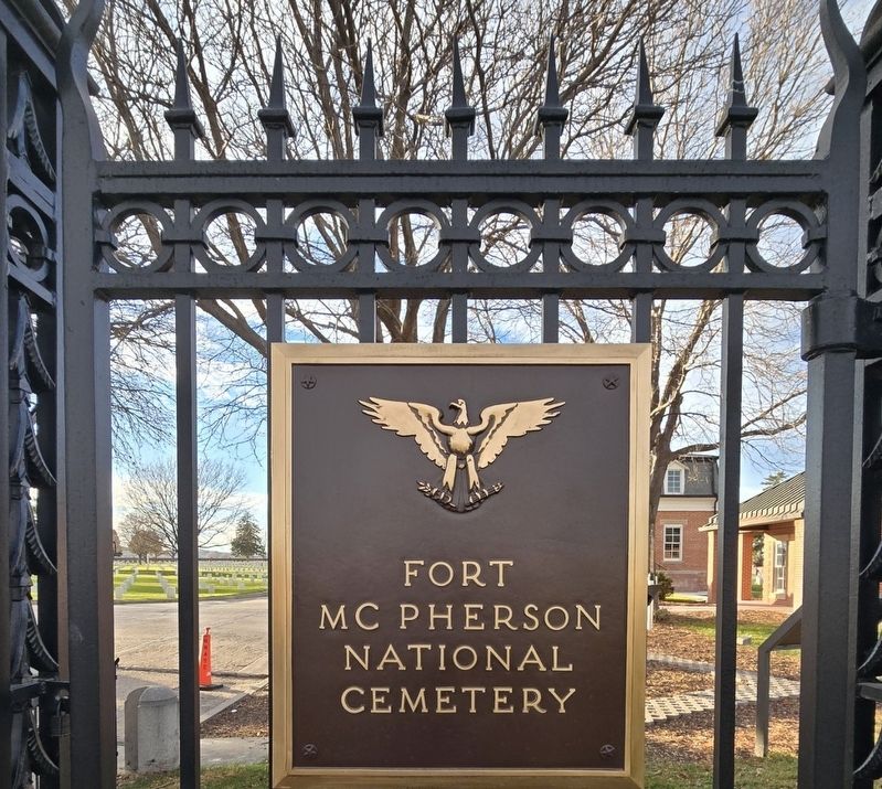
2. Fort McPherson National Cemetery Entrance
Also see . . . Fort McPherson National Cemetery. (Submitted on November 19, 2025, by Susan Van Den Bosch of Almond, Wisconsin.)
Photographed by Susan Van Den Bosch, November 17, 2025
3. On front gate
Photographed by Susan Van Den Bosch, November 17, 2025
4. On front gate
Photographed by Susan Van Den Bosch, November 17, 2025
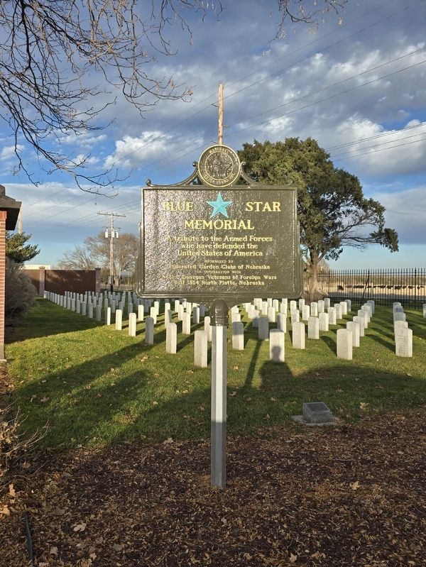
5. Blue Star Memorial
A tribute to the Armed Forces who have defend the United States of America
Sponsored by Federated Garden Clubs of Nebraska
In cooperation with
Noel C Donegan Veterans of Foreign Wars
Post 1504 North Platte, Nebraska
Sponsored by Federated Garden Clubs of Nebraska
In cooperation with
Noel C Donegan Veterans of Foreign Wars
Post 1504 North Platte, Nebraska
Credits. This page was last revised on November 25, 2025. It was originally submitted on November 19, 2025, by Susan Van Den Bosch of Almond, Wisconsin. This page has been viewed 70 times since then and 45 times this year. Photos: 1, 2, 3, 4, 5. submitted on November 19, 2025, by Susan Van Den Bosch of Almond, Wisconsin. • J. Makali Bruton was the editor who published this page.
