Near Kearney in Buffalo County, Nebraska — The American Midwest (Upper Plains)
Kearney-Fort Kearny
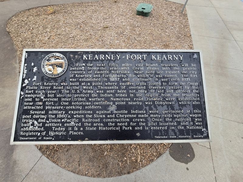
Photographed by Susan Van Den Bosch, November 18, 2025
1. Kearney-Fort Kearney Marker
For the next fifty miles east-bound travelers will be passing from the semi-arid Great Plains into the prairie country of eastern Nebraska. Near here are located the city of Kearney and Fort Kearny, for which it was named. The fort was established in 1847 and continued in use until 1871.
Fort Kearny was built at a point where eastern trails joined to form the Great Platte River Road to the West. Thousands of overland travelers passed by the fort each year. The U.S. Army was sent here not only to aid and protect the emigrants, but also to protect the Indian tribes in the region from the travelers and to prevent inter-tribal warfare. Numerous road ranches were established near the fort. One notorious outfitting point nearby was Dobytown, which also attracted pleasure-seeking soldiers.
Several military expeditions against hostile Indians were garrisoned at this post during the 1860's when the Sioux and Cheyenne made many raids against wagon trains and Union Pacific Railroad construction crews. Once the railroad was built and settlers entered the area, the need for the post lessened, and it was abandoned. Today it is
this page online
Erected by Department of Roads and Nebraska State Historical Society.
Topics. This historical marker is listed in these topic lists: Indigenous Peoples and Communities • Railroads & Streetcars • Roads & Vehicles • Settlements & Settlers. A significant historical year for this entry is 1847.
Location. 40° 40.227′ N, 99° 9.454′ W. Marker is near Kearney, Nebraska, in Buffalo County. It is on Interstate 80 close to Alternate Interstate 80, on the right when traveling east. Touch for map. Marker is at or near this postal address: 23375 I-80, Kearney NE 68845, United States of America. Touch for directions.

Regionally, this marker is in Central Nebraska and in the Platte River Valley. It is also in the American Midwest, in the Corn Belt, and on the prairies. Globally, it is in North America, the Western Hemisphere, the Western World, and the Anglosphere. Historically, it finds itself in what was once the Louisiana Purchase.
Other nearby markers. At least 8 other markers are within 4 miles of this marker, measured as the crow
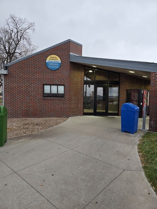
Photographed by Susan Van Den Bosch, November 18, 2025
2. Kearney I80 Eastbound Rest Area
Credits. This page was last revised on November 25, 2025. It was originally submitted on November 19, 2025, by Susan Van Den Bosch of Almond, Wisconsin. This page has been viewed 74 times since then and 43 times this year. Photos: 1, 2. submitted on November 19, 2025, by Susan Van Den Bosch of Almond, Wisconsin. • Devry Becker Jones was the editor who published this page.
