Hope Valley in Hopkinton in Washington County, Rhode Island — The American Northeast (New England)
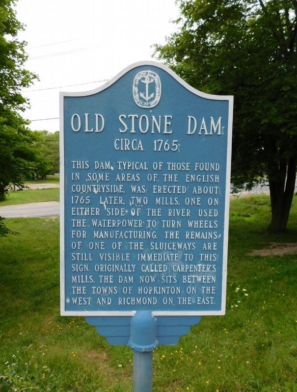
Old Stone Dam
Circa 1765
Photographed by Jimmy Emerson, July 2017
1. Old Stone Dam Marker
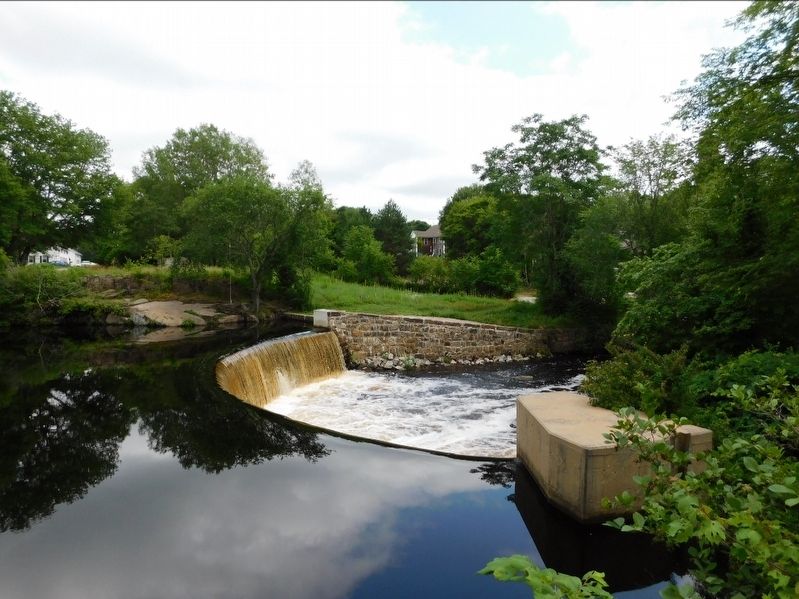
This dam, typical of those found in some areas of the English countryside, was erected about 1765. Later, two mills, one on either side of the river used the waterpower to turn wheels for manufacturing. The remains of one of the sluice ways are still visible immediate to this sign. Originally called Carpenter's Mills, the dam now sits between the towns of Hopkinton on the west and Richmond in the east
Erected by Rhode Island Historical Society.
Topics. This historical marker is listed in these topic lists: Colonial Era • Industry & Commerce • Waterways & Vessels. A significant historical year for this entry is 1765.
Location. 41° 30.186′ N, 71° 42.995′ W. Marker is in Hopkinton, Rhode Island, in Washington County. It is in Hope Valley. It is at the intersection of Mechanic Street and Maple Avenue, on the left when traveling south on Mechanic Street. Touch for map. Marker is at or near this postal address: 29 Mechanic Street, Hope Valley RI 02832, United States of America. Touch for directions.

Regionally, this marker is on Narragansett Bay and in South County. It is also in the American Northeast, in
this page online
Other nearby markers. At least 8 other markers are within 3 miles of this marker, measured as the crow flies: Polish-American Citizens Club World War II Memorial (about 600 feet away, measured in a direct line); Welcome to Brushy Brook (approx. 0.2 miles away); Depot Square Park (approx. ¼ mile away); A Maturing Town (approx. 2.6 miles away); Recent Times and the Future of Richmond (approx. 2.6 miles away); Early Town of Richmond (approx. 2.6 miles away); Richmond: A Town with Vision of Its Heritage and History (approx. 2.6 miles away); Early European Settlement (approx. 2.7 miles away). Touch for a list and map of all markers in Hopkinton.
Photographed by Jimmy Emerson, July 2017
2. Old Stone Dam on the Wood River
Credits. This page was last revised on November 25, 2025. It was originally submitted on November 22, 2025, by Jimmy Emerson of Dalton, Georgia. This page has been viewed 132 times since then and 100 times this year. Photos: 1, 2. submitted on November 22, 2025, by Jimmy Emerson of Dalton, Georgia. • Michael Herrick was the editor who published this page.
