Near Charles City in Charles City County, Virginia — The American South (Mid-Atlantic)
Grant's Crossing
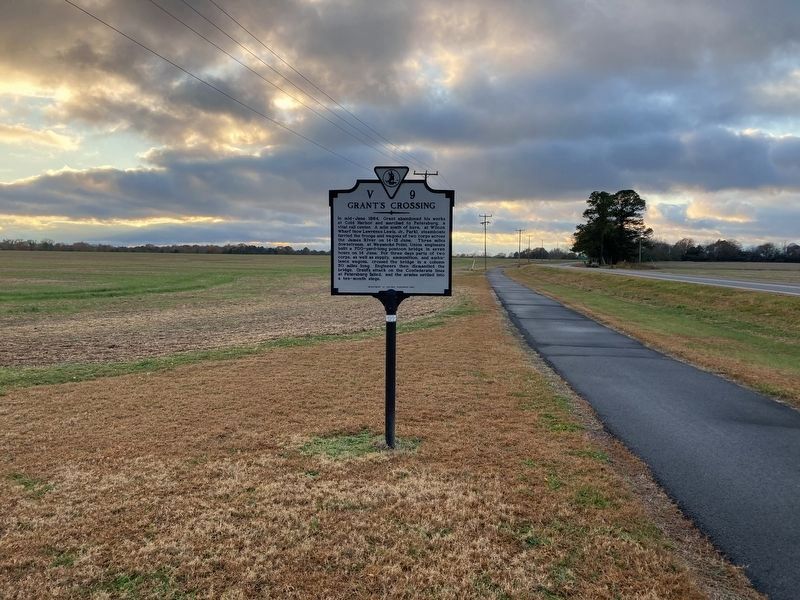
Photographed by Evan Dwyer, November 22, 2025
1. Grant's Crossing Marker
In its second (current as of 2025) location.
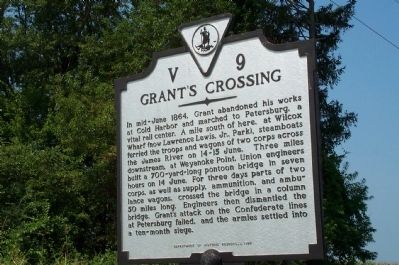
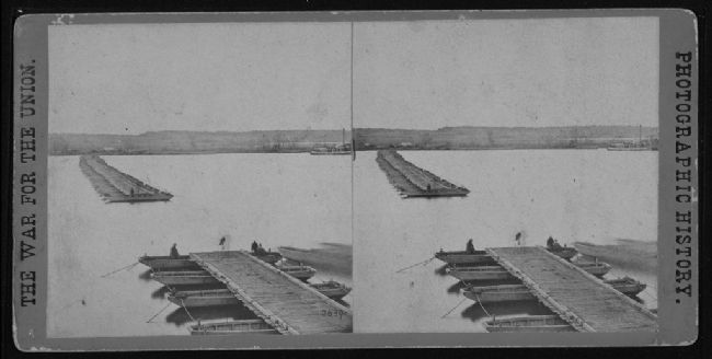
In mid-June 1864, Grant abandoned his works at Cold Harbor and marched to Petersburg, a vital rail center. A mile south of here, at Wilcox Wharf (now Lawrence Lewis Jr. Park), steamboats ferried the troops and wagons of two corps across the James River on 14-15 June. Three miles downstream, at Weyanoke Point, Union engineers built a 700-yard-long pontoon bridge in seven hours on 14 June. For three days parts of two corps, as well as supply, ammunition, and ambulance wagons, crossed the bridge in a column 50 miles long. Engineers then dismantled the bridge. Grant's attack on the Confederate lines at Petersburg failed, and the armies settled into a ten-month siege.
Erected 1993 by Department of Historic Resources. (Marker Number V-9.)
Topics and series. This historical marker is listed in these topic lists: Bridges & Viaducts • War, US Civil • Waterways & Vessels. In addition, it is included in the Virginia Department of Historic Resources (DHR) series list. A significant historical year for this entry is 1864.
Location. 37° 19.92′ N, 77° 6.081′ W. Marker is near Charles City, Virginia, in Charles City County.
this page online

Regionally, this marker is in Coastal Virginia. It is also in the American South, specifically in the Upper South, in the Tidewater, and on the Eastern Seaboard. Globally, it is in the North Atlantic Region, North America, the Western Hemisphere, the Western World, and the Anglosphere. Historically, it finds itself in what was once the territory of the Mississippian Culture, one of the original Thirteen Colonies, one of the Confederate States of America, and the Antebellum South.
Other nearby markers. At least 8 other markers are within 2 miles of this marker, measured as the crow flies: Swineyards - Willcox Wharf (approx. 0.3 miles away); Captain John Smith’s Trail on the James
Photographed by Kathy Walker, August 3, 2007
2. Grant's Crossing Marker
Another marker is no longer nearby. Greenway (was approx. 1.2 miles away but has been replaced with another marker now near it).
Also see . . . Grant Crosses the James. The Civil War Months website entry (Submitted on July 10, 2024, by Larry Gertner of New York, New York.)
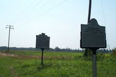
Photographed by Kathy Walker, August 3, 2007
3. Grant's Crossing Marker
Shown with Swineyards - Willcox Wharf marker.
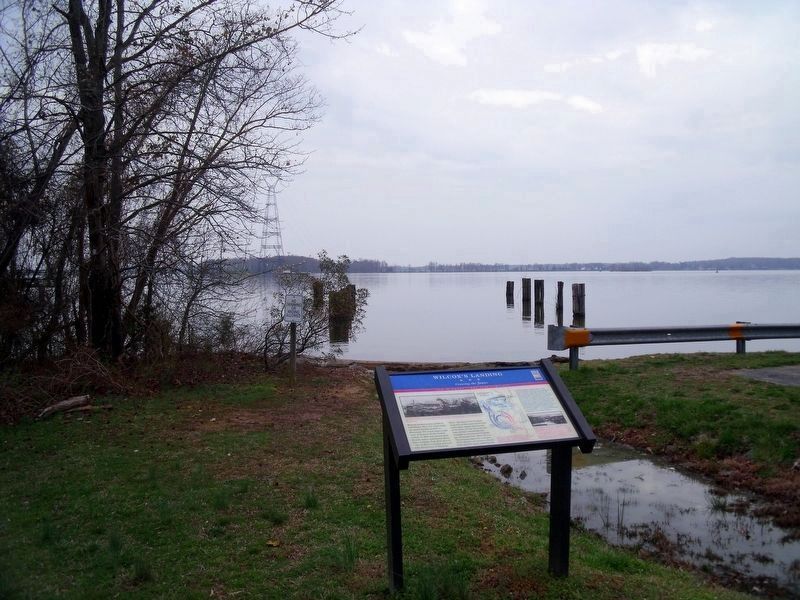
Photographed by Bernard Fisher
4. Willcox’s Landing on the James River.
Located 1.3 miles south on Wilcox Wharf Road.
Civil War Treasures from the New-York Historical Society, nhnycw/ad ad39009
5. Sterographic Photo of a Pontoon Bridge over the James
Taken some time after the crossing, the pontoon bridge is seen here with a section opened for ship navigation.
Credits. This page was last revised on December 1, 2025. It was originally submitted on July 21, 2008, by Kathy Walker of Stafford, Virginia. This page has been viewed 5,768 times since then and 606 times this year. Last updated on November 23, 2025, by Evan Dwyer of Richmond, Virginia. Photos: 1. submitted on November 30, 2025, by Evan Dwyer of Richmond, Virginia. 2, 3. submitted on July 21, 2008, by Kathy Walker of Stafford, Virginia. 4. submitted on April 1, 2009, by Bernard Fisher of Richmond, Virginia. 5. submitted on July 21, 2008, by Craig Swain of Leesburg, Virginia. • Devry Becker Jones was the editor who published this page.
Editor’s want-list for this marker. A wide shot of the marker in its current context. • Can you help?
