Akron in Fulton County, Indiana — The American Midwest (Great Lakes)
Indian Trails Crossing
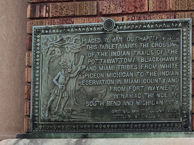
Photographed by Duane and Tracy Marsteller, November 1, 2025
1. Indian Trails Crossing Marker
Original White colony made settlement on July 4, 1836
Erected 1918 by Manitou Chapter No. 840, Daughters of the American Revolution.
Topics and series. This historical marker is listed in these topic lists: Indigenous Peoples and Communities • Roads & Vehicles • Settlements & Settlers. In addition, it is included in the Daughters of the American Revolution (DAR) series list. A significant historical date for this entry is July 4, 1836.
Location. 41° 2.338′ N, 86° 1.707′ W. Marker is in Akron, Indiana, in Fulton County. It is at the intersection of North Mishawaka Street and West Rochester Street (Indiana Route 14), on the right when traveling south on North Mishawaka Street. Touch for map. Marker is at or near this postal address: 100 W Rochester St, Akron IN 46910, United States of America. Touch for directions.

Regionally, this marker is in Northern Indiana.
this page online
Other nearby markers. At least 8 other markers are within 10 miles of this marker, measured as the crow flies: Edward J. Fansler Pathways (approx. 8.7 miles away); Lake Manitou and Tiptonville (approx. 8.8 miles away); Lawrence D. Bell (approx. 9.3 miles away); Joaquin Miller (approx. 9.6 miles away); Stockdale Mill (approx. 9.7 miles away); Talma (approx. 9.7 miles away); About The Stockdale Mill (approx. 9.8 miles away); Tradition Meets Innovation (approx. 9.8 miles away).
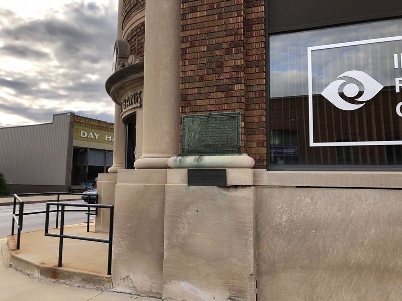
Photographed by Duane and Tracy Marsteller, November 1, 2025
2. Indian Trails Crossing Marker
Credits. This page was last revised on December 5, 2025. It was originally submitted on November 24, 2025, by Duane and Tracy Marsteller of Murfreesboro, Tennessee. This page has been viewed 78 times since then and 50 times this year. Photos: 1, 2. submitted on November 24, 2025, by Duane and Tracy Marsteller of Murfreesboro, Tennessee.
