Elora in Centre Wellington in Wellington County, Ontario — Central Canada (North America)
Victoria Park
The Elora Gorge

Photographed by Tim Boyd, November 24, 2025
1. Victoria Park Marker
The Elora Gorge was formed by glacial meltwater during the end of the last ice age, roughly 12,000 years ago. The soft limestone was eroded creating numerous caves and exposing fossils. This area was an important transportation route for indigenous peoples and by the 1830's became an important site for water power, settlement and industry. Be sure to visit our historical storyboards placed throughout the park for more information.
Topics. This historical marker
this page online
Location. 43° 40.932′ N, 80° 26.005′ W. Marker is in Centre Wellington, Ontario, in Wellington County. It is in Elora. It is at the intersection of James Crescent and Victoria Crescent, on the right when traveling south on James Crescent. The marker is at the entrance to the park, at its parking lot on James Crescent. Touch for map. Marker is at or near this postal address: 98 James Street, Centre Wellington ON N0B 1S0, Canada. Touch for directions.

Regionally, this marker is in the Huron-Perth-Waterloo-Wellington Area and in Southwestern Ontario. It is also in Central Canada. Globally, it is in North America, the Western Hemisphere, the Western World, and the Anglosphere. Historically, it finds itself in what was once a British colony, the Viceroyalty of New France, the Haudenosaunee (Iroquois) Confederacy, and Rupert’s Land.
Other nearby markers. At least 8 other markers are within walking distance of this marker: David Street Bridge (about 90 meters away, measured in a direct line);
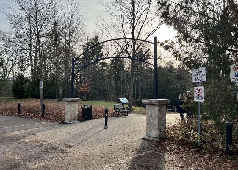
Photographed by Tim Boyd, November 24, 2025
2. Victoria Park Marker

Photographed by Tim Boyd, November 24, 2025
3. The Grande River and Irvine Creek from Victoria Park
Credits. This page was last revised on November 30, 2025. It was originally submitted on November 29, 2025, by Tim Boyd of Hamilton, Ontario. This page has been viewed 49 times since then and 29 times this year. Photos: 1, 2, 3. submitted on November 29, 2025, by Tim Boyd of Hamilton, Ontario. • Andrew Ruppenstein was the editor who published this page.
