Plymouth in Plymouth County, Massachusetts — The American Northeast (New England)
Plymouth Rock
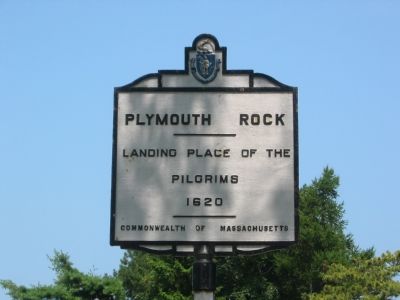
Photographed by F. Robby, August 2, 2004
1. Plymouth Rock Marker
Landing place of the Pilgrims
1620
Erected by Commonwealth of Massachusetts.
Topics. This historical marker is listed in these topic lists: Colonial Era • Exploration • Settlements & Settlers • Waterways & Vessels. A significant historical year for this entry is 1620.
Location. 41° 57.472′ N, 70° 39.727′ W. Marker is in Plymouth, Massachusetts, in Plymouth County. It is at the intersection of Water Street and North Street, on the left when traveling south on Water Street. Marker is actually about 100 feet south of the intersection. Touch for map. Marker is in this post office area: Plymouth MA 02360, United States of America. Touch for directions.

Regionally, this marker is on the South Shore. It is also in the American Northeast, in New England, and on the Eastern Seaboard. Globally, it is in the North Atlantic Region, North America, the Western Hemisphere, the Western World, and the Anglosphere. Historically, it finds itself in what was once one of the original Thirteen Colonies.
Other nearby markers. At least 8 other markers are within walking distance of this marker: James Cole (a few steps
this page online
Another marker is no longer nearby. America's Hometown (was within shouting distance of this marker but has been confirmed missing).
Also see . . . Wikipedia Entry. “Plymouth Rock is the traditional site of disembarkation of William Bradford and the Mayflower Pilgrims who founded Plymouth Colony in 1620. It is an important symbol in American history. There are no contemporaneous references to the Pilgrims’ landing on a rock at Plymouth, and it is not referred to in Edward Winslow’s Mourt’s Relation (1620–21) or in Bradford’s journal Of Plymouth Plantation (1620–47). The

Photographed by F. Robby, August 2, 2004
2. Rock Shelter
To keep it from getting any smaller.
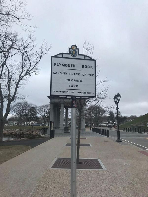
Photographed by Luis Solórzano, April 10, 2019
3. Plymouth Rock Marker
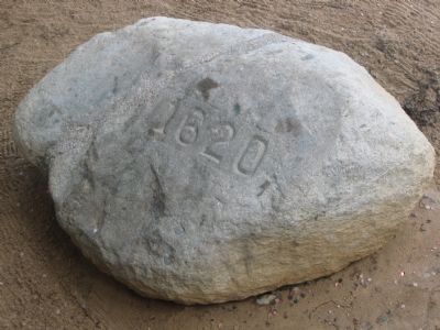
Photographed by F. Robby, August 2, 2004
4. Is this really it?
Not very impressive!
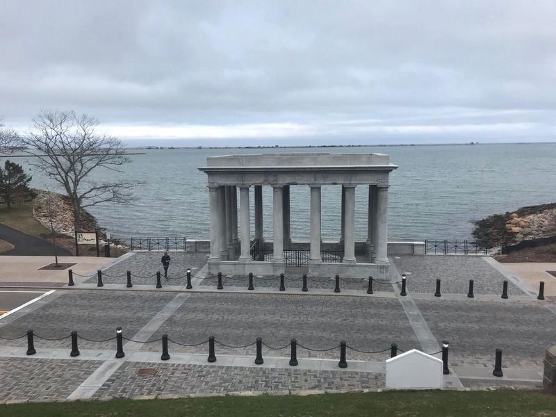
Photographed by Luis Solórzano, April 10, 2019
5. Plymouth Rock Shelter
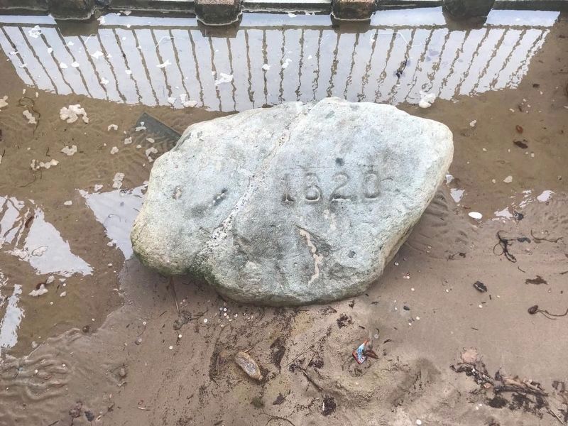
Photographed by Luis Solórzano, April 10, 2019
6. Plymouth Rock
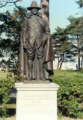
Photographed by Michael Stroud, May 1998
7. William Bradford Monument
Bronze by Cyrus Dallin (1861–1944) was modeled in 1920 but not cast until 1976. Inscription reads, “Governor and Historian of the Plymouth Colony.
Born in Austerfield, England 1590.
Died in Plymouth,New England 1657.”

Photographed by Adam Margolis, September 15, 2025
8. Plymouth Rock Marker

Photographed by Adam Margolis, September 15, 2025
9. Plymouth Rock
Credits. This page was last revised on February 28, 2026. It was originally submitted on October 10, 2007, by F. Robby of Baltimore, Maryland. This page has been viewed 5,910 times since then and 226 times this year. It was the Marker of the Week December 16, 2012. Photos: 1, 2. submitted on October 10, 2007, by F. Robby of Baltimore, Maryland. 3. submitted on April 11, 2019, by J. Makali Bruton of Washington, District of Columbia. 4. submitted on October 10, 2007, by F. Robby of Baltimore, Maryland. 5, 6. submitted on April 11, 2019, by J. Makali Bruton of Washington, District of Columbia. 7. submitted on December 20, 2007, by Mike Stroud of Bluffton, South Carolina. 8, 9. submitted on December 22, 2025, by Adam Margolis of Mission Viejo, California. • J. J. Prats was the editor who published this page.
