Peralta Hacienda in Oakland in Alameda County, California — The American West (Pacific Coastal)
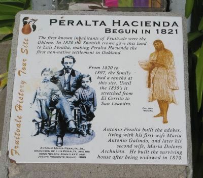
Peralta Hacienda
Begun in 1821
— Fruitvale History Tour Site —
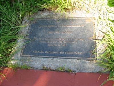
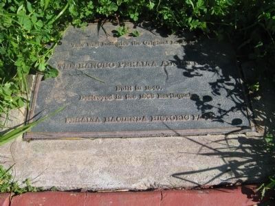
From 1820 to 1897, the family had a rancho at this site. Until the 1850’s it stretched from El Cerrito to San Leandro.
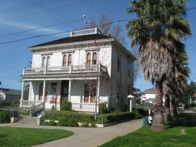
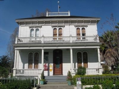
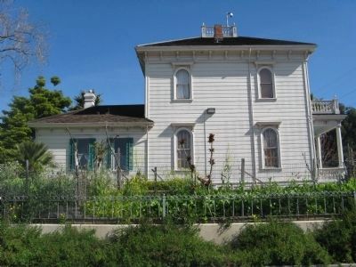
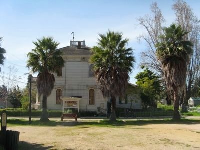
Antonio Peralta built the adobes, living with his first wife, Maria Antonio Galindo, and later his second wife, Maria Dolores Archuleta. He built the surviving house after being widowed in 1870. (Marker Number 925.)
Topics and series. This historical marker is listed in these topic lists: Notable Buildings • Notable Places • Settlements & Settlers. In addition, it is included in the California Historical Landmarks series list. A significant historical year for this entry is 1820.
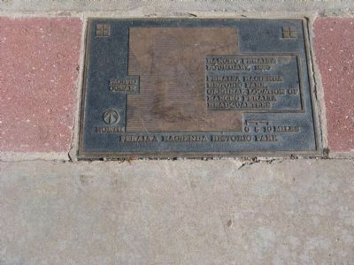
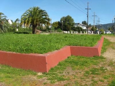
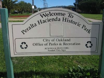
Location. 37° 47.222′ N, 122° 13.042′ W. Marker is in Oakland, California, in Alameda County. It is in Peralta Hacienda. Marker can be reached from 34th Avenue near Hyde Street. Marker is located in front of the hacienda house at the Peralta Hacienda Historic Park. Touch for map. Marker is at or near this postal address: 2465 34th Avenue, Oakland CA 94601, United States of America. Touch for directions.
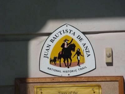
Other nearby markers. At least 8 other markers are within 2 miles of this marker, measured as the crow flies. Anza Expedition of 1776 (a few steps from this marker); California Cotton Mill (approx. 1.2 miles away); Tidal Canal (approx. 1.4 miles away); Ky Eybright Boathouse (approx. 1.4 miles away); Cryer & Sons (approx. 1½ miles away); Sígame/Follow Me (approx. 1½ miles away); Union Point (approx. 1½ miles away); Water & Rails / Brooklyn Basin (approx. 1.6 miles away). Touch for a list and map of all markers in Oakland.
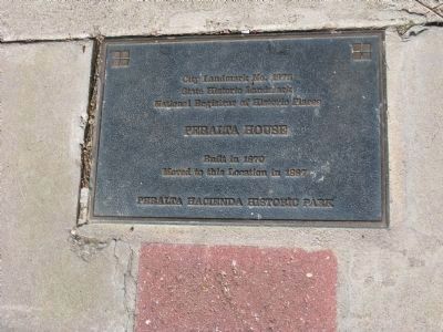
Regarding Peralta Hacienda. This site was designated as California Registered Historical Landmark No. 925 on December 7, 1978. It has also been designated as Oakland City Landmark No.1975 and was placed on the National Register of Historic Places on November 11, 1977.
The California Registered Historic Landmark statement of significance:
One of California's original Spanish colonists, Luís Peralta received the first and largest Mexican land grant. His hacienda was the nucleus of the Rancho de San Antonio, which covered the sites of seven present-day East Bay cities and reached to the Contra Costa frontier. The rancho's first permanent adobe was located here, and the 1870 Italianate frame house is one of two remaining Peralta buildings.
Also see . . .
The Peralta Hacienda. The Hacienda website with links to photos, history of the park, history of the Peralta family, information on the Ohlone settlements, park activities and educational events. (Submitted on March 22, 2010.)
Photographed By Syd Whittle
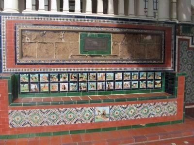
15. Original Adobe Bricks from the Peralta Adobe
These adobe bricks are located at the Casa Peralta in San Leandro, California
Plaque reads:Villa-Maria Antonia
Adobe Relics From The
Original Home of
Don Antonio Maria Peralta
Click for more information.
Plaque reads:
Adobe Relics From The
Original Home of
Don Antonio Maria Peralta
Click for more information.
Credits. This page was last revised on February 7, 2023. It was originally submitted on March 22, 2010, by Syd Whittle of Mesa, Arizona. This page has been viewed 4,127 times since then and 44 times this year. Photos: 1, 2, 3, 4, 5, 6, 7, 8, 9, 10, 11, 12, 13, 14. submitted on March 22, 2010, by Syd Whittle of Mesa, Arizona. 15. submitted on January 12, 2010, by Syd Whittle of Mesa, Arizona.
