
St. Augustine in St. Johns County, Florida — The American South (South Atlantic)
Fort Mose
| — | Fort Mose Historic State Park | — |
Photographed by Cosmos Mariner, December 10, 2014
1. Fort Mose Marker
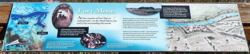
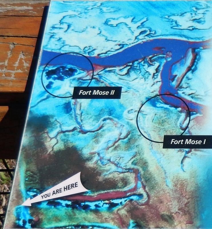
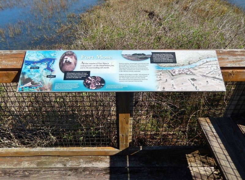
Working together, archaeologists and historians have pieced together the story of Fort Mose using historic documents, maps, aerial photos, and excavation. They identified this island as site of the second fort (1752-1763), and believe the remains of the first fort (1738-1740) are currently underwater.
Evidence of Fort Mose is humble — bits and pieces of everyday life buried in just a few inches of brown soil. These fragile remains and a few colonial documents are the lone testaments to one of our country's most important historical sites.
Archaeologists revealed a thin layer of brown soil that contained evidence of Fort Mose (below the shell layer and above the golden soil).
Erected by Fort Mose Historic State Park.
Topics. This historical marker is listed in these topic lists: African Americans • Colonial Era • Forts and Castles • Parks & Recreational Areas.
Location. Marker has been reported permanently removed. It was located near 29° 55.714′ N, 81° 19.381′ W.
this page online
We have been informed that this marker is no longer there and will not be replaced. This page is an archival view of what was.
Regionally, this marker was in First Coast and in Greater Jacksonville. It was also in the American South. Globally, it was in the North Atlantic Region, North America, a Gulf of Mexico state, the Western Hemisphere, the Western World, and the Anglosphere. Historically, it found itself in what was once New Spain, the territory of the Mississippian Culture, one of the Confederate States of America, and the Antebellum South.

Other nearby markers. At least 8 other markers are within walking distance of this location: A different marker
2. Marker detail: Location of 1st and 2nd Fort Mose
More about this marker. This marker has been permanently removed.
The Fort Mose Historical State Park recently went through extensive renovations. The park reopened in May, 2025. During the renovation process all historical markers were replaced with different markers containing additional more current information.
Related markers. Click here for a list of markers that are related to this marker. Fort Mose Historic State Park
Also see . . . Fort Mose Historic State Park. Florida Department of Environmental Protection (Submitted on December 3, 2018.)
3. Marker detail: Artist's conception of Fort Muse in its heyday
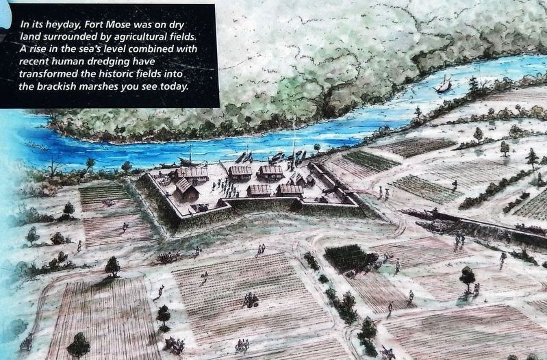
Fort Mose was on dry land surrounded by agricultural fields. A rise in the sea’s level combined with recent human dredging have transformed the historic fields into the brackish marshes you see today.
Photographed by Cosmos Mariner, December 10, 2014
4. Fort Mose Marker (wide view)
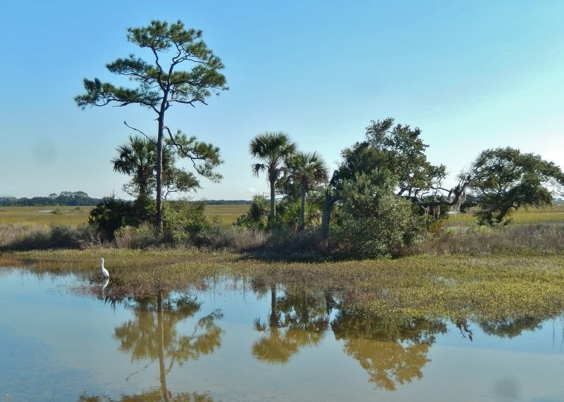
Photographed by Cosmos Mariner, December 10, 2014
5. Fort Mose Site (view from marker)
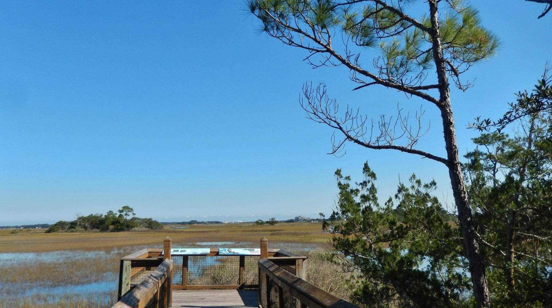
Photographed by Cosmos Mariner, December 10, 2014
6. Fort Mose Site (boardwalk and marker visible in foreground)
Credits. This page was last revised on December 7, 2025. It was originally submitted on December 1, 2018, by Cosmos Mariner of Cape Canaveral, Florida. This page has been viewed 963 times since then and 53 times this year. Last updated on December 6, 2025, by Brandon D Cross of Flagler Beach, Florida. Photos: 1. submitted on December 1, 2018, by Cosmos Mariner of Cape Canaveral, Florida. 2, 3, 4, 5, 6. submitted on December 2, 2018, by Cosmos Mariner of Cape Canaveral, Florida. • Bernard Fisher was the editor who published this page.
