
Marion in Crittenden County, Kentucky — The American South (East South Central)
Weston
⎯⎯⎯
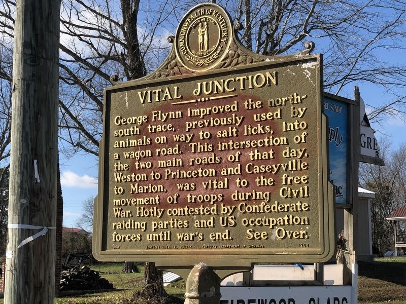
Vital Junction
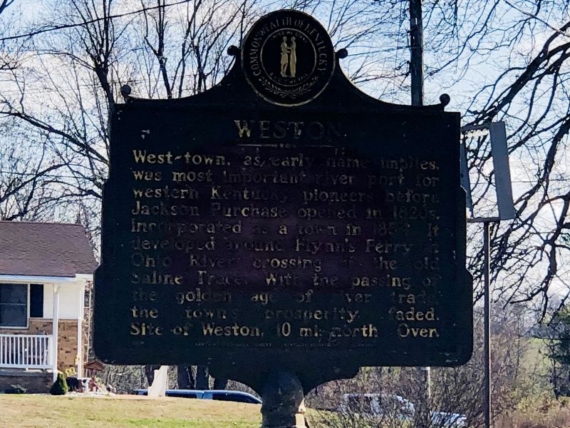
Photographed by Duane and Tracy Marsteller
1. Weston side of marker
Reverse Side
George Flynn improved the north-south trace, previously used by animals on way to salt licks, into a wagon road. This intersection of the two main roads of that day, Weston to Princeton and Caseyville to Marion, was vital to the free movement of troops during Civil War. Hotly contested by Confederate raiding parties and US occupation forces until war's end. See over.
Erected 1969 by Kentucky Historical Society • Kentucky Department of Highways. (Marker Number 1298.)
Topics. This historical marker is listed in these topic lists: Industry & Commerce • Settlements & Settlers • War, US Civil • Waterways & Vessels. A significant historical year for this entry is 1854.
Location. 37° 24.156′ N, 88° 1.273′ W. Marker is in Marion, Kentucky,
this page online

Regionally, this marker is in the American Midwest, in the South, in the Upper South, and in the Ohio River Valley. Globally, it is in North America, the Western Hemisphere, the Western World, and the Anglosphere. Historically, it finds itself in what was once the territory of the Mississippian Culture and also the Antebellum South.
Other nearby markers. At least 8 other markers are within 6 miles of this marker, measured as the crow flies: A Pioneer Route (within shouting distance of this marker); Forrest Reconnoitered (approx. 4.6 miles away); F. Julius Fohs (1884-1965) / Fohs Hall (approx. 5.7 miles away); County Named, 1842 (approx. 5.9 miles away); Courthouse Burned (approx. 5.9 miles away); Crittenden County Courthouse, Marion (approx. 5.9 miles away); In Honor of Crittenden Countian Dr. Forrest Carlisle Pogue, Jr. (approx. 5.9 miles away); Family of Judges (approx.
Photographed by Duane and Tracy Marsteller, November 30, 2025
2. Vital Junction side of marker
Photographed by Duane and Tracy Marsteller, November 30, 2025
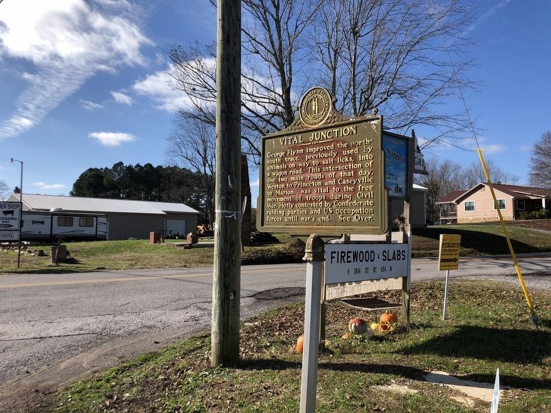
3. Weston / Vital Junction Marker
Credits. This page was last revised on December 23, 2025. It was originally submitted on December 11, 2025, by Duane and Tracy Marsteller of Murfreesboro, Tennessee. This page has been viewed 128 times since then and 99 times this year. Photos: 1, 2, 3. submitted on December 11, 2025, by Duane and Tracy Marsteller of Murfreesboro, Tennessee. • James Hulse was the editor who published this page.
