
Kaanapali in Maui County, Hawaii — Hawaiian Island Archipelago (Pacific Ocean)
The Stones of Moemoe and Wahine O Manua
| — | Ka'anapali Historical Trail | — |

Photographed by Darren Jefferson Clay, December 11, 2025
1. The Stones of Moemoe and Wahine O Manua Marker
Topics. This historical marker is listed in these topic lists: Anthropology & Archaeology • Asian Americans • Natural Features.
Location. 20° 55.519′ N, 156° 41.461′ W. Marker is in Kaanapali, Hawaii, in Maui County. It is on Kekaa Drive north of Kualapa Loop, on the left when traveling north. Touch for map. Marker is at or near this postal address: 2560 Kekaa Dr, Lahaina HI 96761, United States of America. Touch for directions.

Regionally, this marker is in Lahaina and West Maui. Globally, it is in North America, Polynesia, the Pacific Ocean, North Pacific, the Pacific Rim, the Western Hemisphere, the Western World, and the Anglosphere.
Other nearby markers. At least 8 other markers are within 2 miles of this marker, measured
this page online
Regarding The Stones of Moemoe and Wahine O Manua. The two stones that are referenced on the marker lie just on the other side of the bushes seen behind the marker. It is possible that the stones could be seen by walking around the left side of the shrubs and a photo taken and added to this marker posting.
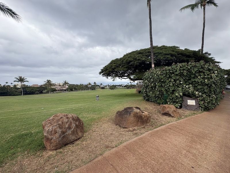
Photographed by Darren Jefferson Clay, December 11, 2025
2. The Stones of Moemoe and Wahine O Manua Marker
Credits. This page was last revised on December 15, 2025. It was originally submitted on December 14, 2025, by Darren Jefferson Clay of Duluth, Georgia. This page has been viewed 98 times since then and 57 times this year. Photos: 1, 2. submitted on December 14, 2025, by Darren Jefferson Clay of Duluth, Georgia. • Devry Becker Jones was the editor who published this page.
