Lahaina in Maui County, Hawaii — Hawaiian Island Archipelago (Pacific Ocean)
Koko O Na Moku Race Track
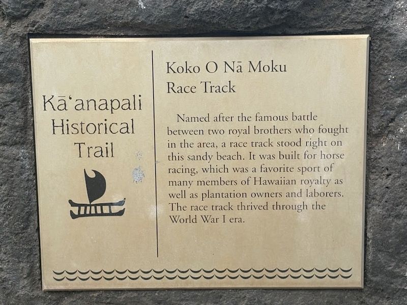
Photographed by Darren Jefferson Clay, December 11, 2025
1. Koko O Na Moku Race Track Marker
Topics. This historical marker is listed in these topic lists: Agriculture • Animals • Sports • Waterways & Vessels.
Location. 20° 55.258′ N, 156° 41.754′ W. Marker is in Lahaina, Hawaii, in Maui County. It can be reached from Kā'anapali Beachwalk, on the left when traveling north. The marker stands just south of Whalers Village. Touch for map. Marker is at or near this postal address: 2435 Kaanapali Pkwy, Lahaina HI 96761, United States of America. Touch for directions.

Regionally, this marker is in Lahaina and West Maui. Globally, it is in North America, in Polynesia, in the Pacific Ocean, in North Pacific, on the Pacific Rim, in the Western Hemisphere, in the Western World, and in the Anglosphere.
Other nearby markers. At least
this page online
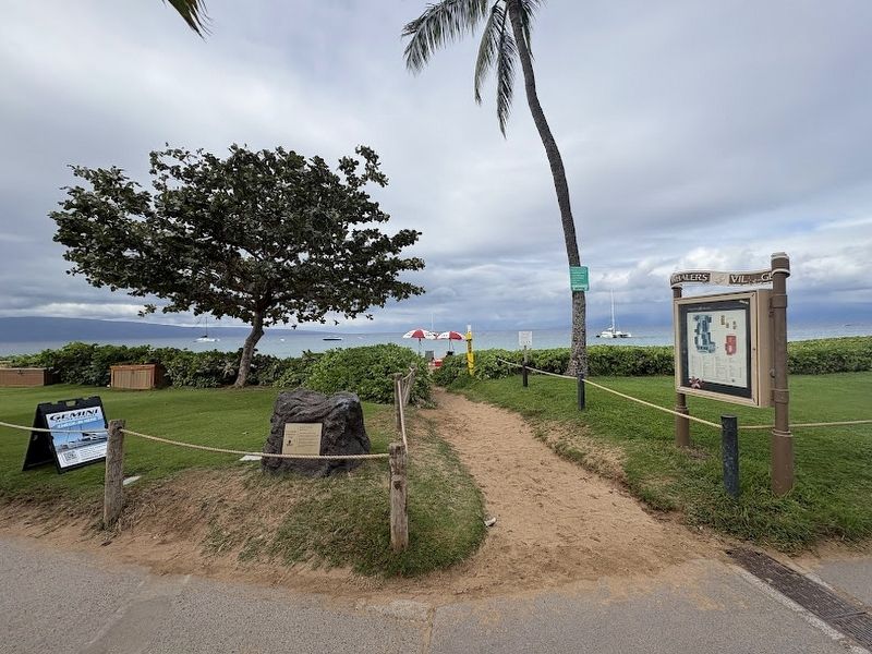
Photographed by Darren Jefferson Clay, December 11, 2025
2. Koko O Na Moku Race Track Marker
Credits. This page was last revised on December 16, 2025. It was originally submitted on December 14, 2025, by Darren Jefferson Clay of Duluth, Georgia. This page has been viewed 70 times since then and 43 times this year. Photos: 1, 2. submitted on December 14, 2025, by Darren Jefferson Clay of Duluth, Georgia. • Devry Becker Jones was the editor who published this page.
