North Quincy in Norfolk County, Massachusetts — The American Northeast (New England)
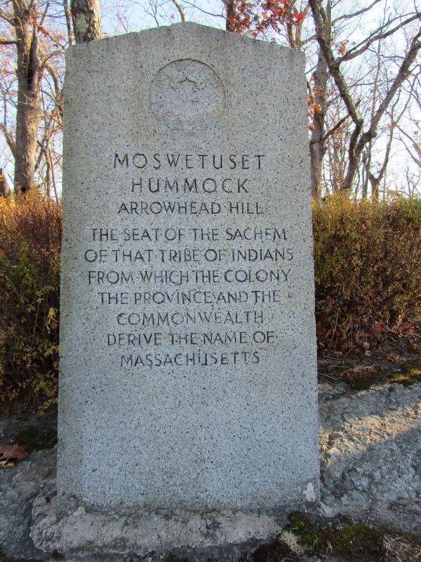
Moswetuset Hummock
Arrowhead Hill
Photographed by Conrad Ward, November 17, 2024
1. Moswetuset Hummock Marker
Topics. This historical marker is listed in these topic lists: Indigenous Peoples and Communities • Natural Features.
Location. 42° 17.354′ N, 71° 1.326′ W. Marker is in Quincy, Massachusetts, in Norfolk County. It is in North Quincy. It can be reached from East Squantum Street north of Lexington Street, on the right when traveling north. Touch for map. Marker is at or near this postal address: 440 E Squantum St, Quincy MA 02171, United States of America. Touch for directions.

Regionally, this marker is in Historic Boston and specifically in Greater Boston. It is also in the American Northeast, in New England, and on the Eastern Seaboard. Globally, it is in the North Atlantic Region, North America, the Western Hemisphere, the Western World, and the Anglosphere. Historically, it finds itself in what was once one of the original Thirteen Colonies.
Other nearby markers. At least 8 other markers are within walking distance
this page online
Related markers. Click here for a list of markers that are related to this marker.
Also see . . .
1. Moswetuset Hummock (Wikipedia). (Submitted on April 24, 2025, by Conrad Ward of Guilford, Connecticut.)
2. Moswetuset Or Massachusetts Hummock. By James R. Cameron, Historian 1972
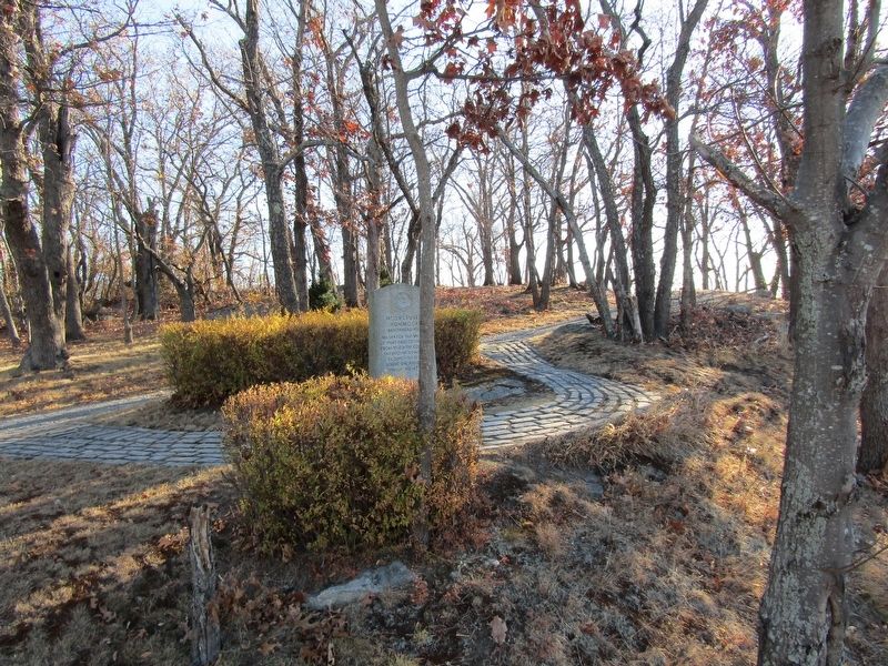
A small hillock rises from the salt marsh which separates Quincy Bay from the Neponset River. Moswetuset or Massachusetts Hummock was the seat of Chicatabot, sachem or sagamore of the Massachusetts Indians, at the time of the settlement of the(Submitted on April 24, 2025.)Massachusetts Bay Colony. It is the only important relic of the Indians from whom the Commonwealth derived its name. Moswetuset retains its original form and character, appearing today much as it did when Captain John Smith visited New England in 1614 or when Miles Standish came to Squantum in 1621.Photographed by Conrad Ward, November 17, 20242. Moswetuset Hummock Marker
3. The Moswetuset Hummock - A Web Resource.
Professor Randall Stephens’ 2011 class Critical Readings in History (HI310), at Eastern Nazarene College created this site. It pulls together various historical resources pertaining to Moswetuset Hummock and provides links to related historical sites. The students who sunk plenty of time and effort into creating this web resource include: Austin Steelman, Alex Foran, Kenneth White, Camson Tran, Julianna MacFarland, and Jonathan Baboian.(Submitted on April 24, 2025.)
Photographed by Conrad Ward, November 17, 2024
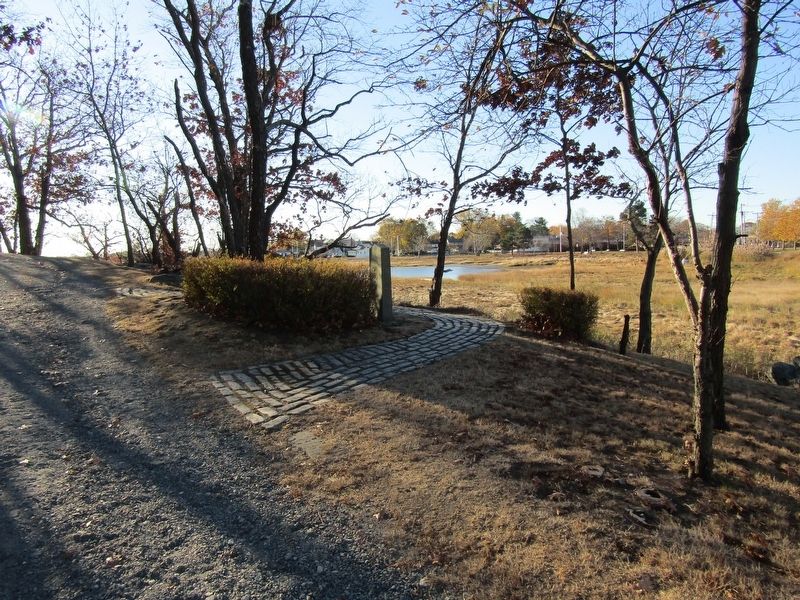
3. Moswetuset Hummock Marker
Photographed by G.W.Bartlett, March 24, 2026
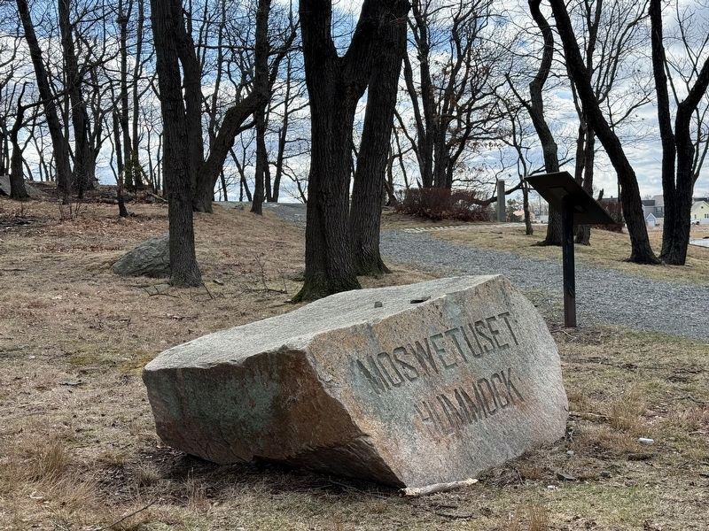
4. Moswetuset Hummock Boulder at entrance
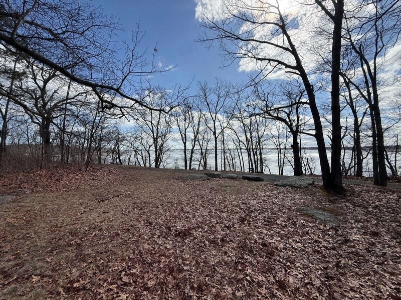
Photographed by G.W.Bartlett, March 24, 2026
5. Sagamore’s View of Quincy Bay
A Sagamore’s view of Quincy Bay from atop Moswetuset Hummock.
Credits. This page was last revised on March 31, 2026. It was originally submitted on April 24, 2025, by Conrad Ward of Guilford, Connecticut. This page has been viewed 254 times since then and 114 times this year. Last updated on December 17, 2025, by G.W.Bartlett of Hingham, Massachusetts. Photos: 1, 2, 3. submitted on April 24, 2025, by Conrad Ward of Guilford, Connecticut. 4, 5. submitted on March 24, 2026, by G.W.Bartlett of Hingham, Massachusetts. • Devry Becker Jones was the editor who published this page.
