Near Dolores in Montezuma County, Colorado — The American Mountains (Southwest)
Yucca
Photographed by Cosmos Mariner, July 17, 2025
1. Yucca Marker
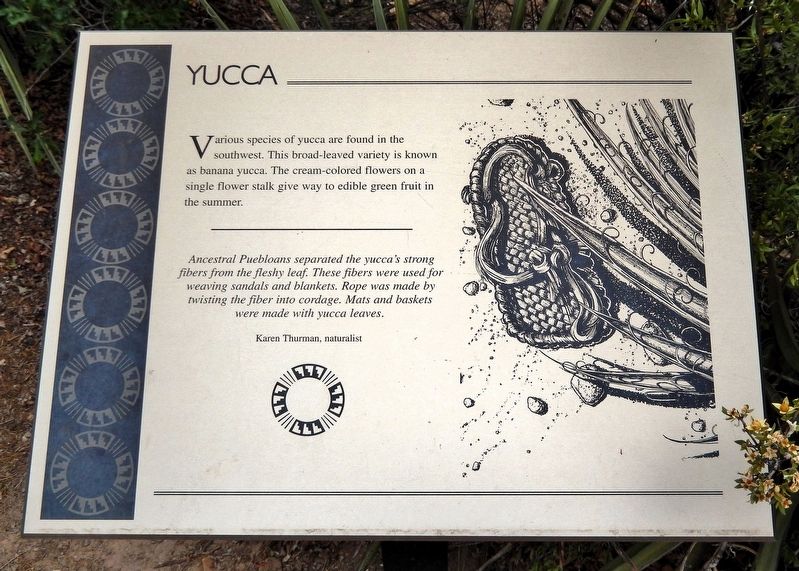
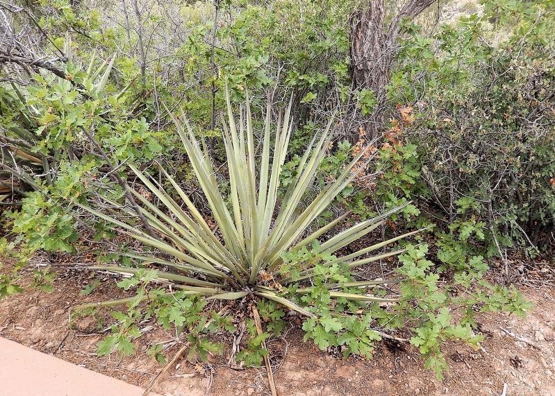
Various species of yucca are found in the southwest. This broad-leaved variety is known as banana yucca. The cream-colored flowers on a single flower stalk give way to edible green fruit in the summer.
Ancestral Puebloans separated the yucca's strong fibers from the fleshy leaf. These fibers were used for weaving sandals and blankets. Rope was made by twisting the fiber into cordage. Mats and baskets were made with yucca leaves.
—Karen Thurman, naturalist
Erected by The Colorado Historical Society, the Bureau of Land Management, the Family of Nellie Mulnix Joy and the Frankston Family.
Topics. This historical marker is listed in these topic lists: Anthropology & Archaeology • Indigenous Peoples and Communities.
Location. 37° 28.597′ N, 108° 32.826′ W. Marker is near Dolores, Colorado, in Montezuma County. It can be reached from State Highway 184 at milepost 7, on the right when traveling west. The marker is on the Escalante Pueblo Trail at the Canyons of the Ancients National Monument Visitor Center. Touch for map. Marker is at or near this postal address: 27501
this page online

Regionally, this marker is in the American Mountain West, on the Colorado Plateau, and at the Four Corners. Globally, it is in North America, the Rocky Mountains, the Western Hemisphere, the Western World, and the Anglosphere. Historically, it finds itself in what was once the territory of the Ancestral Puebloans and also Mexico’s Alta California.
Other nearby markers. At least 8 other markers are within walking distance of this marker: Indian Ricegrass (a few steps from this marker); Skunkbush Sumac (within shouting distance of this marker); A Path Well Traveled (within shouting distance of this marker); Dominguez Pueblo (within shouting distance of this marker); Gambel Oak (about 300 feet away, measured in a direct line); Mesa Verde National Park & Ute Mountain Tribal Park (about 500 feet away); Mountain Mahogany (about 500 feet away); Spanish Explorers (about 600 feet away). Touch for a list and map of all markers in Dolores.
Also see . . . Yucca baccata (Wikipedia).
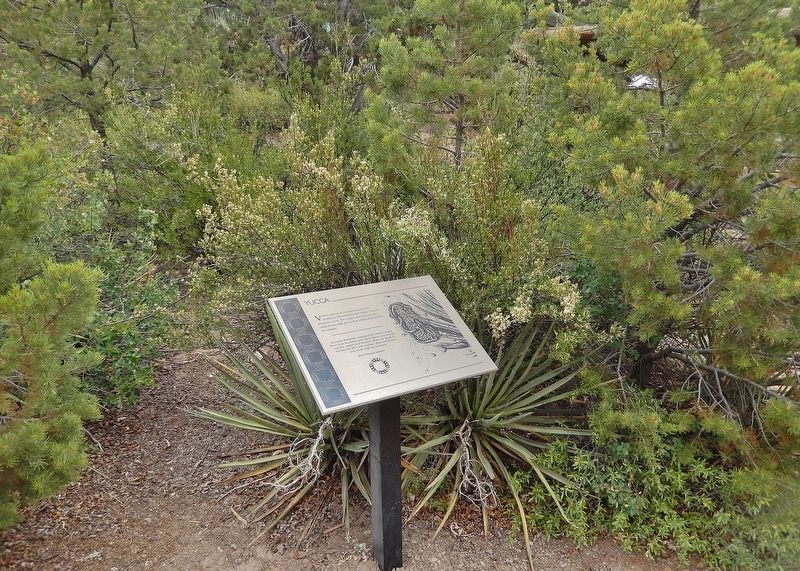
Excerpt: Also known as banana yucca, Spanish(Submitted on December 21, 2025, by Cosmos Mariner of Cape Canaveral, Florida.)bayonet and broadleaf yucca. It is a common species of yucca native to the deserts of the southwestern United States and northwestern Mexico, from southeastern California north to Utah, east to western Texas and south to Sonora and Chihuahua. The species gets its common name "banana yucca" from its banana-shaped fruit.Photographed by Cosmos Mariner, July 17, 20252. Yucca Marker
The young flower stalks can be cooked and eaten, with the tough outer rind discarded. The fruit can be eaten raw or cooked, in the latter case resembling sweet potato. Ancestral Puebloan peoples used the fibers derived from the leaves to create sandals and cordage, and the root was used as soap, although with less frequency than that of Yucca elata.
Photographed by Cosmos Mariner, July 17, 2025
3. Yucca
Credits. This page was last revised on December 21, 2025. It was originally submitted on December 19, 2025, by Cosmos Mariner of Cape Canaveral, Florida. This page has been viewed 54 times since then and 20 times this year. Photos: 1, 2, 3. submitted on December 21, 2025, by Cosmos Mariner of Cape Canaveral, Florida.
