Cannon Ball in Sioux County, North Dakota — The American Midwest (Upper Plains)
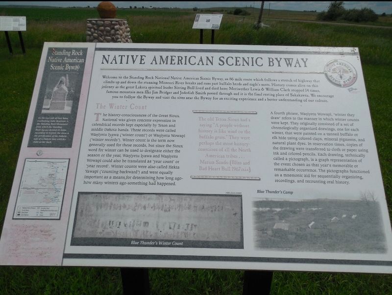
Native American Scenic Byway
Photographed by Jimmy Emerson, 2014
1. Native American Scenic Byway Marker
Welcome to the Standing Rock National Native American Scenic Byway, an 86 mile route which follows a stretch of highway that climbs up and down the stunning Missouri River breaks and runs past buffalo herds and eagle's nests. History comes alive on this journey as the great Lakota spiritual leader Sitting Ball lived and died here: Meriwether Lewis & William Clark stopped 14 times, famous mountain men like Jim Bridger and Jedediah Smith passed through and it is the final resting place of Sakakawea. We encourage you to follow the Byway and visit the sites near the Byway for an exciting experience and a better understanding of our culture.
The Winter Count
The history-consciousness of the Great Sioux National was given concrete expression in calendrical records kept especially by Teton and middle Dakota bands. These records were called Wanjyetu Iyawa(winter count") or Wanjyetu Wowapi (winter records). Winter count is the term now generally used for these records, but since the Sioux word for winter can be used to designate either the season or the year, Wanjyetu Iyawa and Wanjyetu Wowapi could also be translated as 'year
this page online
The old Teton Sioux had a saying "A people without history is like wind on the buffalo grass. They were perhaps the most history conscious of all the North American tribes… Marun Sando (Bliss and Bad Heart Ball 1967xix)
[Sidebar:]
On the east side of Fort Yates, overlooking Oahe Reservoir, is the Standing Rock Monument from which the Standing Rock Agency derived its name. According to legend, the stone is petrification of the Arikara wife of a Dakota man with her child on her back.
Topics.
Photographed by Jimmy Emerson, 2014
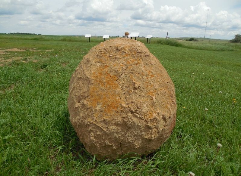
2. Marker in the background
Location. 46° 23.155′ N, 100° 37.746′ W. Marker is in Cannon Ball, North Dakota, in Sioux County. It is on 71st Street east of North Dakota Highway 1806, on the right when traveling west. Touch for map. Marker is at or near this postal address: 7908 State Hwy 1806, Cannon Ball ND 58528, United States of America. Touch for directions.

Regionally, this marker is on the Missouri Plateau. It is also in the American Lewis & Clark Corridor, on the prairies, and on the Northern Plains. Globally, it is in North America, the Western Hemisphere, the Western World, and the Anglosphere. Historically, it finds itself in what was once Rupert’s Land and also the Louisiana Purchase.
Other nearby markers. At least 5 other markers are within 9 miles of this marker, measured as the crow flies: The Cannonball Community (here, next to this marker); The Parkin Ranch (within shouting distance of this marker); Fort Rice After General Sully's Expeditions (approx. 9 miles away); The Founding of Fort Rice (approx. 9 miles away); Fort Rice (approx. 9.1 miles away).
Credits. This page was last revised on December 20, 2025. It was originally submitted on December 19, 2025, by Jimmy Emerson of Dalton, Georgia. This page has been viewed 104 times since then and 67 times this year. Photos: 1, 2. submitted on December 19, 2025, by Jimmy Emerson of Dalton, Georgia. • Devry Becker Jones was the editor who published this page.
Editor’s want-list for this marker. A clearer photo of the marker. • Transcription of the sidebar about the Standing Rock monument. • Can you help?
