Dade City in Pasco County, Florida — The American South (South Atlantic)
Whitehouse
Photographed by Julie Szabo, August 16, 2008
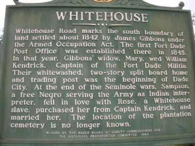
1. Whitehouse Marker
Erected 1982 by Pasco Board of County Commissioners and The Historical Preservation Committee.
Topics. This historical marker is listed in these topic lists: African Americans • Indigenous Peoples and Communities • Settlements & Settlers • Wars, US Indian. A significant historical year for this entry is 1842.
Location. 28° 22.403′ N, 82° 11.363′ W. Marker is in Dade City, Florida, in Pasco County. It is at the intersection of Lakeland Road (U.S. 98) and 301 (U.S. 301), on the left when traveling
this page online

Regionally, this marker is on Florida’s Gulf Coast and on Tampa Bay. It is also in the American South and on the Gulf Coast. Globally, it is in the North Atlantic Region, North America, a Gulf of Mexico state, the Western Hemisphere, the Western World, and the Anglosphere. Historically, it finds itself in what was once New Spain, the territory of the Mississippian Culture, one of the Confederate States of America, and the Antebellum South.
Other nearby markers. At least 8 other markers are within walking distance of this marker: Saint Paul Missionary Baptist Church (approx. 0.3 miles away); Jones' Nursing Home (approx. 0.4 miles away); Mount Zion African Methodist Episcopal Church (approx. 0.4 miles away); Dade City Grammar School (approx. 0.4 miles away); Dade City Cemetery (approx. 0.4 miles away); Site of World War II Prisoner of War Camp (approx. 0.4 miles away); St. Mary's Episcopal Church
Photographed by Julie Szabo, August 16, 2008
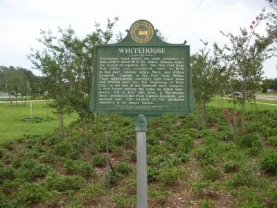
2. Whitehouse Marker, looking north
Photographed by Julie Szabo, August 16, 2008
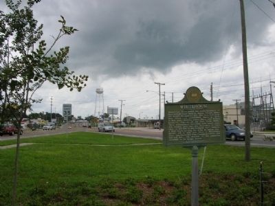
3. Whitehouse Marker, looking south
Credits. This page was last revised on December 23, 2025. It was originally submitted on August 19, 2008, by Julie Szabo of Oldsmar, Florida. This page has been viewed 3,786 times since then and 31 times this year. Last updated on December 23, 2025, by Michael Cece of Sarasota, Florida. Photos: 1, 2, 3. submitted on August 19, 2008, by Julie Szabo of Oldsmar, Florida. • Bernard Fisher was the editor who published this page.
