Near Natchez in Natchitoches Parish, Louisiana — The American South (West South Central)
Cotton Ginning Time
Photographed by James Hulse, December 18, 2025
1. Cotton Ginning Time Marker
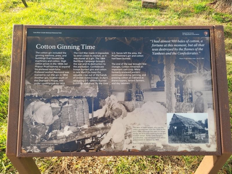
The Civil War made it impossible to send cotton to market, so it was stored at a gin. The 1864 Red River Campaign brought the war and its destruction to the plantation. Confederate troops burned gins and cotton in late March to keep the valuable crop out of the hands of United States troops. In April, retreating U.S. soldiers burned buildings and crops. By the time U.S. forces left the area, the Prud'homme's gin and cotton had been burned.
The end of the war brought few changes. Cotton remained an important cash crop. Many formerly enslaved workers continued picking, ginning, and pressing cotton at Oakland as sharecroppers, tenant farmers, and day laborers.
"I had almost 900 bales of cotton, a fortune at this moment, but all that was destroyed by the flames of the Yankees and the Confederates."
Phanor Prud'homme Letter, July 22, 1865
Captions
(Photo #1) Photo courtesy Library of Congress, 1890s
(Photo #2) The cabin of Gabe Nargot, who was the cotton gin engineer from the 1920s to the early 1940s. Although the cabin no longer stands, the brick piers marking its size and location remain. Barbe, Gabe Nargot's grandmother, was kidnapped from Africa and enslaved at Oakland by 1809. Photo courtesy Prud'homme family
Erected by Cane
this page online
Topics. This historical marker is listed in these topic lists: African Americans • Agriculture • War, US Civil. A significant historical date for this entry is July 22, 1865.
Location. 31° 39.809′ N, 93° 0.213′ W. Marker is near Natchez, Louisiana, in Natchitoches Parish. It is at the intersection of State Highway 494 and State Highway 119 on State Highway 494. The marker is located on the grounds of the Oakland Plantation (Cane River Creole National Historic Park). Touch for map. Marker is at or near this postal address: 4443 LA-494, Natchez LA 71456, United States of America. Touch for directions.

Regionally, this marker is in Central Louisiana. It is also in the American South, specifically in the Deep South, and in the Piney Woods. Globally, it is in North America, a Gulf of Mexico state, the Western Hemisphere, the Western World, and the Anglosphere. Historically, it finds itself in what was once New Spain, the Viceroyalty of New France, the territory of the Mississippian Culture, the Louisiana Purchase, one of the Confederate
Photographed by James Hulse, December 18, 2025
2. Cotton Ginning Time Marker
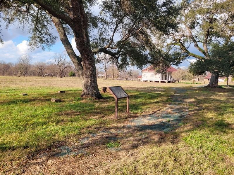
Next to the marker are several stones arranged as foundation stones to a previous building.
Other nearby markers. At least 8 other markers are within walking distance of this marker: Quarters Community (a few steps from this marker); Middleman to Yardman (within shouting distance of this marker); The Helaire Family of Oakland / The Shields Family of Oakland (about 300 feet away, measured in a direct line); Escaped! Freedom Seekers in 1863-1864 (about 300 feet away); Corn Crib (about 500 feet away); Oakland Grist Mill (about 500 feet away); A French Connection (about 600 feet away); Maker of Most Things Wood (about 700 feet away). Touch for a list and map of all markers in Natchez.
Credits. This page was last revised on December 23, 2025. It was originally submitted on December 23, 2025, by James Hulse of Medina, Texas. This page has been viewed 57 times since then and 31 times this year. Photos: 1, 2. submitted on December 23, 2025, by James Hulse of Medina, Texas.
