Burlington in Halton Region, Ontario — Central Canada (North America)
Port Nelson
Photographed by Tim Boyd, December 22, 2025
1. Port Nelson Marker
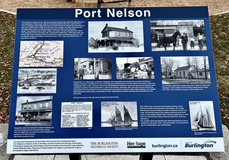
The map below, dated July 16, 1792, shows the Gore District (now Halton) as Mississauga of the Credit land. In 1795, under Treaty 8, the British granted 3,450 acres-later the Brant Tract- to Mohawk Chief Joseph Brant for his Loyalist service in the American Revolutionary War. Brant settled there in 1802, but sold much of it to settlers. By 1806, remaining lands, including those ceded by the Mississaugas, became Port Nelson and Wellington Square- key shipping hubs for grain, lumber, and wheat. The area stretched 9 km. inland from Etobicoke Creek to Burlington Bay, including the Credit River, Twelve Mile Creek, and Sixteen Mile Creek, waterways used for thousands of years by Indigenous people. In 1873, the villages merged as Burlington, becoming a city in 1974. Today, Port Nelson Park is a vital historic landmark.
Originally called the Halsted Inn (Elijah Halsted) and later the Temperance Inn (James Irving, owner). The Inn lodged the out-of-town farmers bringing their goods to Port Nelson docks.
Now 2429 Lakeshore Road
Hugh Cotter, J.P. Wharfinger and William Douglass, were responsible for erecting this prominent
this page online
Bricks at the base of this sign were salvaged from the building.
The Wesleyan Methodist Chapel was built in 1862 by Cotter and Douglass. It later became the Port Nelson Bible School under W.D. Flatt. This building is located at 262 Guelph Line.
Alex LeClair was a renowned ship builder building several schooners which were launched at Port Nelson. The village offered back country farmers an outlet to ship their lumber and crops. During high season farm wagons would be lined up for miles on the planked Guelph Road. Lacking a lighthouse or clear inlet, two 100
Photographed by Tim Boyd, November 22, 2025
2. Port Nelson Marker
The wooden wharf and storehouses were destroyed by a storm sometime in the early 1910s. The gravel beach, once the perfect spot for shipbuilding, was washed away.
Erected by City of Burlington; Burlington Historical Society.
Topics. This historical marker is listed in these topic lists: Indigenous Peoples and Communities • Industry & Commerce • Settlements & Settlers • Waterways & Vessels. A significant historical date for this entry is July 16, 1792.
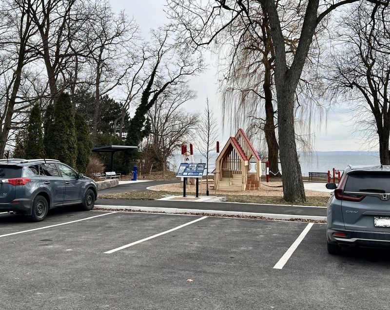
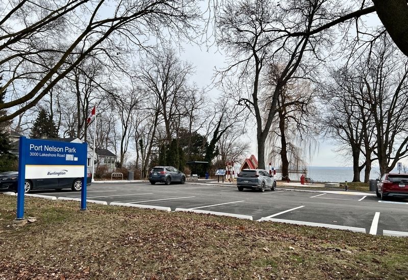
Location. 43° 19.981′ N, 79° 46.659′ W. Marker is in Burlington, Ontario, in Halton Region. It is at the intersection of Lakeshore Road and Guelph Line, on the right when traveling east on Lakeshore Road. The marker stands in Port Nelson Park. Touch for map. Marker is at or near this postal address: 3000 Lakeshore Road, Burlington ON L7R 1C1, Canada. Touch for directions.

Regionally, this marker is in Greater Toronto, specifically on the Golden Horseshoe, in the Hamilton-Halton-Brant Area, and specifically in the Toronto Metropolitan Area. It is also in Central Canada. Globally, it is in North America,
Photographed by Tim Boyd, November 22, 2025
3. Port Nelson Marker
Other nearby markers. At least 8 other markers are within 3 kilometers of this marker, measured as the crow flies: Knox Presbyterian Church (approx. 1.7 kilometers away); William Bunton Esq. 1820-1881 (approx. 1.8 kilometers away); The Hamilton Radial Electric Railway (approx. 1.8 kilometers away); Spencer Smith Park (approx. 1.8 kilometers away); 125th Anniversary Clock, 1999 (approx. 1.9 kilometers away); The Founding of Burlington (approx. 1.9 kilometers away); Burlington Cenotaph (approx. 1.9 kilometers away); Spencer Smith (approx. 2.1 kilometers away). Touch for a list and map of all markers in Burlington.
Credits. This page was last revised on December 25, 2025. It was originally submitted on December 23, 2025, by Tim Boyd of Hamilton, Ontario. This page has been viewed 86 times since then and 63 times this year. Photos: 1, 2, 3. submitted on December 23, 2025, by Tim Boyd of Hamilton, Ontario. • Devry Becker Jones was the editor who published this page.
