Carp Lake Township near LaFayette Landing in Ontonagon County, Michigan — The American Midwest (Great Lakes)
Porcupine Mountains

Photographed by Connor Olson, September 13, 2025
1. Porcupine Mountains Marker
Erected by Michigan State Parks.
Topics. This historical marker is listed in these topic lists: Natural Features • Parks & Recreational Areas. A significant historical year for this entry is 1944.
Location. 46° 46.038′ N, 89° 53.106′ W. Marker is near LaFayette Landing, Michigan, in Ontonagon County. It is in Carp Lake Township. It can be reached from South Boundary Road (Forest Road 117). The marker is located on a rock outcrop on the south side of the Carp River, near the mouth. Touch for map. Marker is in this post office area: Ontonagon MI 49953, United States of America. Touch for directions.

Regionally, this marker is on the Upper Peninsula and in Copper Country. It is also in the American Midwest and on Lake Superior’s South Shore Region. Globally, it is in North America, in the
this page online
Other nearby markers. At least 2 other markers are within 16 miles of this marker, measured as the crow flies: A different marker also named Porcupine Mountains (approx. 9.2 miles away); Copper Peak Chippewa Hill (approx. 15.1 miles away).
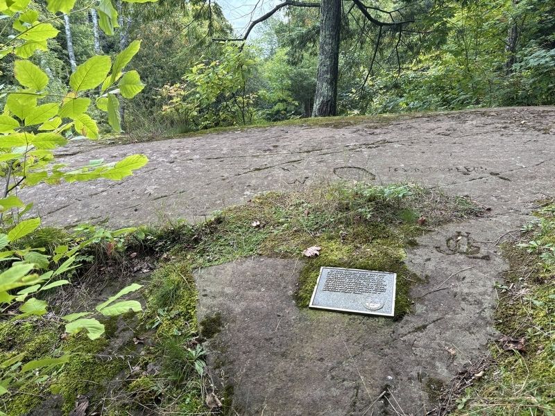
Photographed by Connor Olson, September 13, 2025
2. Porcupine Mountains Marker
Credits. This page was last revised on December 29, 2025. It was originally submitted on December 28, 2025, by Connor Olson of Menomonee Falls, Wisconsin. This page has been viewed 49 times since then and 29 times this year. Photos: 1, 2. submitted on December 28, 2025, by Connor Olson of Menomonee Falls, Wisconsin. • Devry Becker Jones was the editor who published this page.
