Page in Coconino County, Arizona — The American Mountains (Southwest)
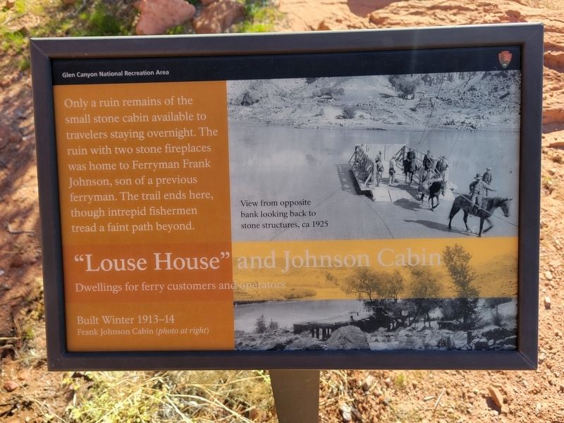
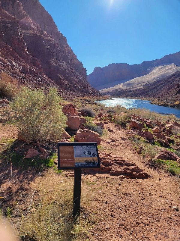
"Louse House" and Johnson Cabin
Photographed by Jeremy Snow, December 7, 2025
1. "Louse House" and Johnson Cabin Marker
Dwellings for ferry customers and operators
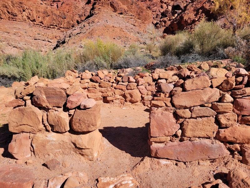
Only a ruin remains of the small stone cabin available to travelers staying overnight. The ruin with two stone fireplaces was home to Ferryman Frank Johnson, son of a previous ferryman. The trail ends here, though intrepid fishermen tread a faint path beyond.
Built Winter 1913-14
Frank Johnson Cabin (photo at right)
(photo caption) View from opposite bank looking back to stone structures, ca 1925
Erected by Glen Canyon National Recreation Area.
Topics. This historical marker is listed in these topic lists: Roads & Vehicles • Waterways & Vessels. A significant historical year for this entry is 1913.
Location. 36° 51.816′ N, 111° 34.638′ W. Marker is in Page, Arizona, in Coconino County. It can be reached from Spencer Trail. Marker located along the Historic District River Trail. Touch for map. Marker is in this post office area: Marble Canyon AZ 86036, United States of America. Touch for directions.

Regionally, this marker is in Flagstaff & High Country, in the Navajo Nation, and in Hopi. It is also in the American Southwest, in the Mountain West,
this page online
Other nearby markers. At least 8 other markers are within walking distance of this marker: Upper Ferry Site (here, next to this marker); Spencer Steamboat (approx. ¼ mile away); Lee's Backbone (approx. ¼ mile away); Spencer Trail (approx. ¼ mile away); Water Intake (approx. 0.4 miles away); Lees Ferry (approx. 0.4 miles away); Spencer Boiler (approx. 0.4 miles away); Mining the Chinle Shale 1910-11 (approx. 0.4 miles away). Touch for a list and map of all markers in Page.
Another marker is no longer nearby. Charles H. Spencer “Paddlewheel” Steamboat (was approx. ¼ mile away but has been permanently removed).
Photographed by Jeremy Snow, December 7, 2025
2. "Louse House" and Johnson Cabin Marker
Photographed by Jeremy Snow, December 7, 2025
3. "Louse House" and Johnson Cabin Ruins
Credits. This page was last revised on January 3, 2026. It was originally submitted on January 2, 2026, by Jeremy Snow of Cedar City, Utah. This page has been viewed 46 times since then. Photos: 1, 2, 3. submitted on January 2, 2026, by Jeremy Snow of Cedar City, Utah. • Andrew Ruppenstein was the editor who published this page.
