
Near Caledonia in Marion County, Ohio — The American Midwest (Great Lakes)
Claridon Prairie
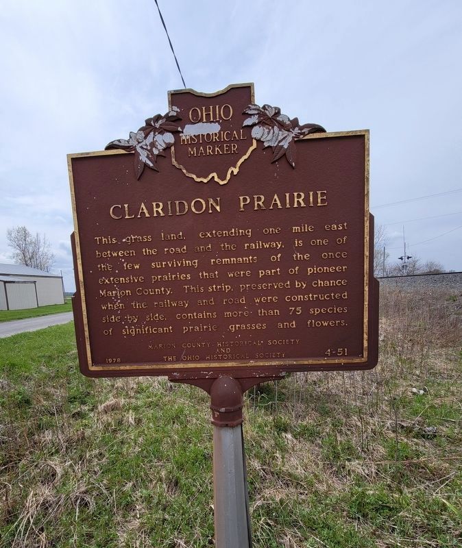
Photographed by Stephen Kerosky, April 17, 2021
1. Claridon Prairie Marker
This grass land, extending one mile east between the road and the railway, is one of the few surviving remnants of the once extensive prairies that were part of pioneer Marion County. This strip, preserved by chance when the railway and road were constructed side by side, contains more than 75 species of significant prairie grasses and flowers.
Erected 1978 by Marion County Historical Society and The Ohio Historical Society. (Marker Number 4-51.)
Topics and series. This historical marker is listed in these topic lists: Environment • Natural Features. In addition, it is included in the Ohio Historical Society / The Ohio History Connection series list.
Location. 40° 37.088′ N, 83° 1.724′ W. Marker is near Caledonia, Ohio, in Marion County. It is on Marion-Galion Road (Local Road 114), on the left when traveling east. Marker is between Township Road 114 and the railroad track, about 175 feet east of Columbus-Sandusky Road (Ohio Route 98), and about 0.2 miles north of the intersection of Ohio Route 98 and Harding Highway East (Ohio Route 309). Touch for map. Marker
this page online

Regionally, this marker is in Ohio’s Scioto Valley and in the Till Plains. It is also in the American Midwest and in the Corn Belt. Globally, it is in North America, the Western Hemisphere, the Western World, and the Anglosphere. Historically, it finds itself in what was once the Haudenosaunee (Iroquois) Confederacy, the territory of the Mississippian Culture, and the Northwest Territory.
Other nearby markers. At least 8 other markers are within 4 miles of this marker, measured as the crow flies: Camp Marion, World War II Prisoners of War (approx. 1.3 miles away); The Marion Engineer Depot (approx. 1.3 miles away); World War II Displacement (approx. 2.3 miles away); Scioto Ordnance Plant Site (approx. 2.8 miles away); Claridon ME Church (approx. 2.9 miles away); Caledonia (approx. 3.3 miles away); Caledonia Memorial United Methodist Church (approx. 3.3 miles away); Methodist Episcopal Church Bell (approx. 3.4 miles away). Touch for a list and map of all markers in Caledonia.
Also see . . . Vegetation of Claridon Railroad Prairie.
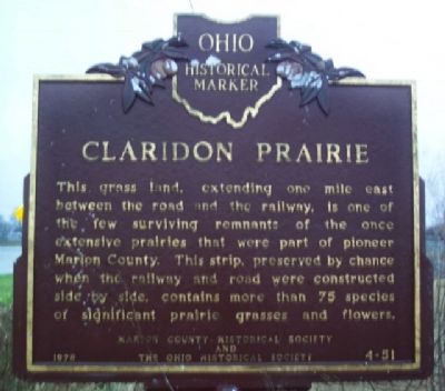
Photographed by William Fischer, Jr., April 19, 2008
2. Claridon Prairie Marker
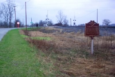
Photographed by William Fischer, Jr., April 19, 2008
3. Claridon Prairie Marker
Looking west toward Columbus-Sandusky Road (OH Rt 98).
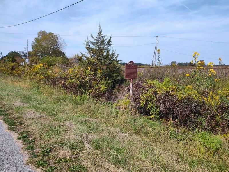
Photographed by Craig Doda, September 20, 2025
4. Claridon Prairie Marker
Credits. This page was last revised on September 23, 2025. It was originally submitted on March 26, 2010, by William Fischer, Jr. of Reynoldsburg, Ohio. This page has been viewed 2,173 times since then and 81 times this year. Photos: 1. submitted on April 25, 2021, by Stephen Kerosky of North Olmsted, Ohio. 2, 3. submitted on March 26, 2010, by William Fischer, Jr. of Reynoldsburg, Ohio. 4. submitted on September 21, 2025, by Craig Doda of Napoleon, Ohio.
