Mount Eden in Auckland, New Zealand — The North Island (Te Ika-a-Maui)
Maungawhau Mt. Eden
Photographed by Shirley A Stirling, December 27, 2025
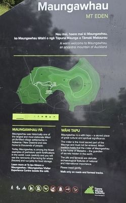
1. Maungawhau Mt. Eden Marker

Maungawhau Pa
Maungawhau was historically one of the largest and most elaborate Maori på (fortified village settlements) in Aotearoa/New Zealand and was home to thousands of people.
Today, Maungawhau is among the finest examples of prehistoric earth fortifications in the world. Look carefully and you will see the remnants of terracing for whare (houses) and rua (pits) for food storage.
Learn more at Te Ipu Korero o Maungawhau/Maungawhau Visitor Experience Centre beside the café.
Wahi Tapu
Maungawhau is a wähi tapu - a sacred place of great cultural and spiritual significance.
The crater is the most sacred part of the Maunga and must not be entered. Maori tradition holds that the crater of Maungawhau is the home of Mataaho-the guardian of secrets hidden in the earth.
The pits and terraces are delicate archaeological features of national and international importance.
Please tread gently. Walk only on roads and formed tracks.
Erected by Tupuna Maunga Authority.
Topics. This historical marker is listed in these topic lists: Anthropology & Archaeology • Indigenous Peoples and Communities • Settlements & Settlers.
Location. 36° 52.503′ S, 174° 45.847′ E. Marker is in Auckland. It is in Mount Eden. It is on Puhi Huia Road east of Mount Eden Road, on the right when traveling north. Touch for map. Marker is at or near this postal address: 250 Mount Eden Rd, Auckland 1024, New Zealand. Touch for directions.

Regionally, it is in Oceania, in Australasia, in Polynesia, in the Pacific Ocean, on the Ring of Fire, on the Pacific Rim, in the Western World,
this page online
Other nearby markers. At least 8 other markers are within 3 kilometers of this marker, measured as the crow flies: Auckland Provincial Surveyors Association (a few steps from this marker); Sacred Site - Maungawhau (about 180 meters away, measured in a direct line); South African War Memorial (approx. 2.8 kilometers away); Salvation Army (approx. 3 kilometers away); Lord Freyberg Statue (approx. 3 kilometers away); Police Station & Court (approx. 3.1 kilometers away); Administrator House (approx. 3.1 kilometers away); General Building (approx. 3.1 kilometers away). Touch for a list and map of all markers in Auckland.
Additional keywords. Included on the marker is a map of Mt. Eden and trails.
Photographed by Shirley A Stirling, December 27, 2025
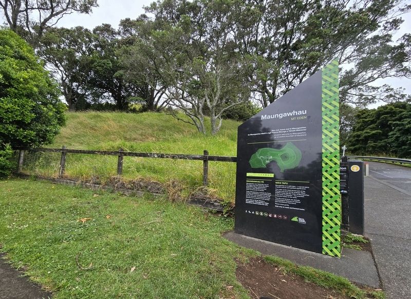
2. Maungawhau Mt. Eden Marker
Credits. This page was last revised on January 12, 2026. It was originally submitted on January 5, 2026, by Shirley A Stirling of Lacey, Washington. This page has been viewed 59 times since then. Photos: 1, 2. submitted on January 5, 2026, by Shirley A Stirling of Lacey, Washington. • Devry Becker Jones was the editor who published this page.
