
Marker Logo
THE HISTORICAL
MARKER DATABASE
“Bite-Size Bits of Local, National, and Global History”
Vineland Station in Lincoln in Niagara Region, Ontario — Central Canada (North America)
 

Moyer Wharf

1860
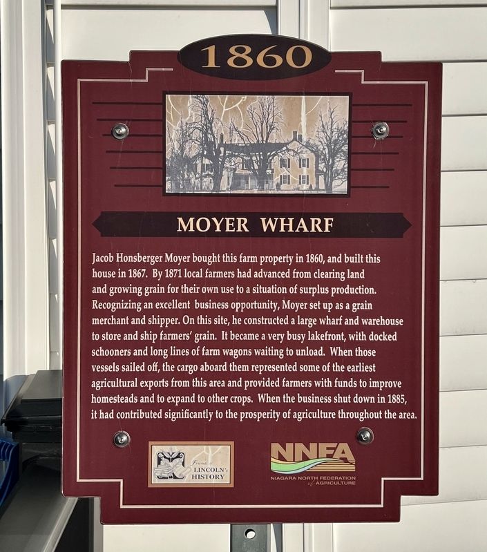
 
 
Moyer Wharf Marker image. Click for full size.
Photographed by Tim Boyd, January 8, 2026
1. Moyer Wharf Marker
Inscription. Jacob Honsberger Moyer bought this farm property in 1860, and built this house in 1867. By 1871 local farmers had advanced from clearing land and growing grain for their own use to a situation of surplus production. Recognizing an excellent business opportunity, Moyer set up as a grain merchant and shipper. On this site, he constructed a large wharf and warehouse to store and ship farmers' grain. It became a very busy lakefront, with docked schooners and long lines of farm wagons waiting to unload. When those vessels sailed off, the cargo aboard them represented some of the earliest agricultural exports from this area and provided farmers with funds to improve homesteads and to expand to other crops. When the business shut down in 1885, it had contributed significantly to the prosperity of agriculture throughout the area.
 
Erected by Friends of lincoln's History/Niagara North Federation of Agriculture.
 
Topics. This historical marker is listed in these topic lists: AgricultureIndustry & CommerceWaterways & Vessels. A significant historical year for this entry is 1860.
 
Location. 43° 11.211′ N, 79° 22.761′ W.
Paid Advertisement
Click or scan to see
this page online
Marker is in Lincoln, Ontario, in Niagara Region. It is in Vineland Station. It is on North Service Road 1.2 kilometers east of Victoria Avenue North, on the left when traveling east. The marker is at the main entrance of the Lake House Restaurant. Touch for map. Marker is at or near this postal address: 3100 N Service Road, Lincoln ON L0R 2E0, Canada. Touch for directions.

Regionally, this marker is on Ontario’s Golden Horseshoe and in Niagara Canada. It is also in Central Canada. Globally, it is in North America, on the Great Lakes, in the Western Hemisphere, in the Western World, and in the Anglosphere. Historically, it finds itself in what was once a British colony, the Viceroyalty of New France, the Haudenosaunee (Iroquois) Confederacy, and Rupert’s Land.

Other nearby markers. At least 8 other markers are within 5 kilometers of this marker, measured as the crow flies: Moses Franklin Rittenhouse 1848-1915 (approx. 1.4 kilometers away); Horticultural Experimental Farm (approx. 1.4 kilometers away); Jordan Train Station, circa 1913 (approx. 2.8 kilometers away); Mennonite Conscientious Objectors, 1812 - 1814
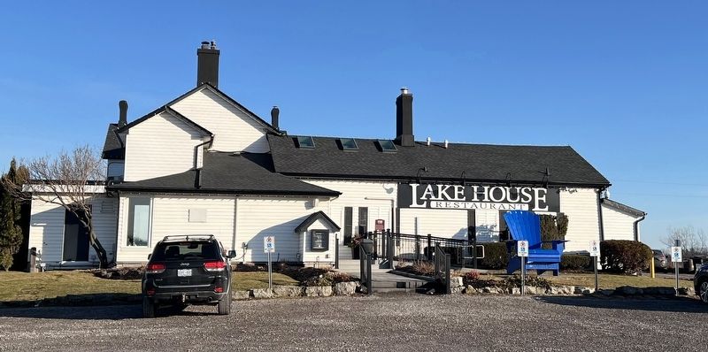
Moyer Wharf Marker image. Click for full size.
Photographed by Tim Boyd, January 8, 2026
2. Moyer Wharf Marker
Centre of photo, at the top of the stairs and the ramp
(approx. 4.1 kilometers away); Mennonite Burying Ground circa 1798 (approx. 4.1 kilometers away); Mennonite Bicentennial 1786-1986 (approx. 4.1 kilometers away); Vintage House circa 1840 (approx. 4.2 kilometers away); Jordan Apple Works (approx. 4.2 kilometers away). Touch for a list and map of all markers in Lincoln.
 
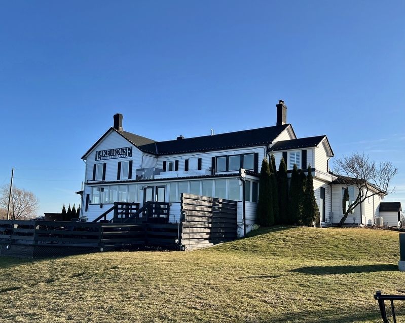
Former Moyer house, currently the Lake House Restaurant, in 2026 image. Click for full size.
Photographed by Tim Boyd, January 8, 2026
3. Former Moyer house, currently the Lake House Restaurant, in 2026
 
 
Credits. This page was last revised on January 9, 2026. It was originally submitted on January 9, 2026, by Tim Boyd of Hamilton, Ontario. This page has been viewed 55 times since then. Photos:   1, 2, 3. submitted on January 9, 2026, by Tim Boyd of Hamilton, Ontario. • Andrew Ruppenstein was the editor who published this page.

m=291459

CeraNet Cloud Computing sponsors the Historical Marker Database.
This website earns income from purchases you make after using our links to Amazon.com. We appreciate your support.
Paid Advertisement
Sep. 12, 2026
