Ridge Street Historic District in Charlottesville in Albemarle County, Virginia — The American South (Mid-Atlantic)
Oakwood Cemetery
Photographed by Kevin W., January 16, 2026
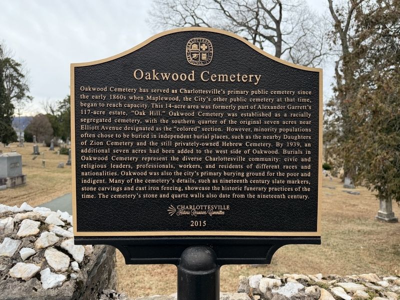
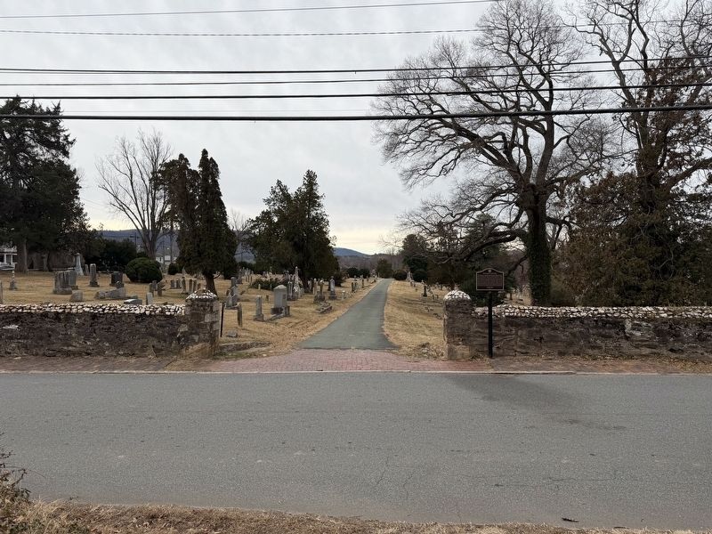
1. Oakwood Cemetery Marker
Inscription.
Oakwood Cemetery has served as Charlottesville's primary public cemetery since the early 1860s when Maplewood, the City's other public cemetery at that time, began to reach capacity. This 14-acre area was formerly part of Alexander Garrett's 117-acre estate, "Oak Hill." Oakwood Cemetery was established as a racially segregated cemetery, with the southern quarter of the original seven acres near Elliott Avenue designated as the "colored" section. However, minority populations often chose to be buried in independent burial places, such as the nearby Daughters of Zion Cemetery and the still privately-owned Hebrew Cemetery. By 1939, an additional seven acres had been added to the west side of Oakwood. Burials in Oakwood Cemetery represent the diverse Charlottesville community: civic and religious leaders, professionals, workers, and residents of different races and nationalities. Oakwood was also the city's primary burying ground for the poor and indigent. Many of the cemetery's details, such as nineteenth century slate markers, stone carvings and cast iron fencing, showcase the historic funerary practices of the time. The
Click or scan to see this page online
cemetery's stone and quartz walls also date from the nineteenth century.
Erected 2015 by Charlottesville Historic Resources Committee.
Location. 38° 1.587′ N, 78° 29.076′ W. Marker is in Charlottesville, Virginia, in Albemarle County. It is in the Ridge Street Historic District. It is on Oak Street west of 1st Street South, on the left when traveling west. Touch for map. Marker is at or near this postal address: 225 Oak St, Charlottesville VA 22902, United States of America. Touch for directions.
Regionally, this marker is in the Piedmont and in Central Virginia. It is also in the American South and specifically in the Upper South. Globally, it is in North America, the Western Hemisphere, the Western World, and the Anglosphere. Historically, it finds itself in what was once the territory of the Mississippian Culture, one of the original Thirteen Colonies, one of the Confederate States of America, and the Antebellum South.
Another marker is no longer nearby. Sacajawea (was approx. ¼ mile away but has been permanently removed).
Credits. This page was last revised on January 16, 2026. It was originally submitted on January 16, 2026, by Kevin W. of Stafford, Virginia. This page has been viewed 72 times since then. Photos:1, 2. submitted on January 16, 2026, by Kevin W. of Stafford, Virginia.